Article updated on October 10, 2021
By Claire Lessiau & Marcella van Alphen
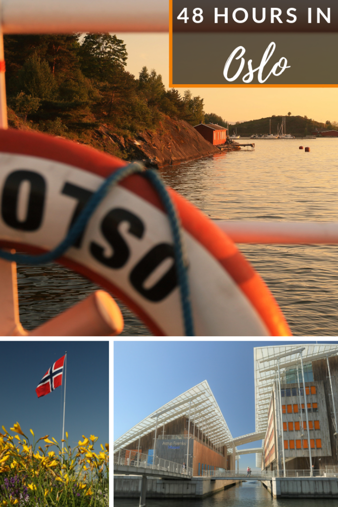
Oslo is a surprising capital! The hospitality of its inhabitants is touching, its architecture mind-blowing, its museums are of excellent quality, and its open spaces refreshing in a splendid natural setting.
To make it easy for you to explore the Norwegian capital, here is our interactive map, showing places to eat, drink, run and visit, from must-see cultural visits to low-key and off the beaten path spots. Zoom in on the area of interest, and check out the black pins: each of them corresponds to an article.
Imagine yourself walking the streets of Oslo like a local, with just your smartphone with this interactive map to guide you. Don’t roam, don’t get lost and add your own favourite spots on the go to easily share it all with your friends back home. Tempting? Check out this short tutorial and you will be all set in no time!
Travel tips:
- The Oslo Pass allows you to explore Oslo’s museums for free, including transport by subway, bus and even ferry!
- To get to and from the airport, the Airport Express Train (Flytoget) is a little bit faster and runs more often than the cheaper regular NSB train.
For more in Oslo:


For more in Norway:


7 Comments Add yours