Text & Photographs: Marcella van Alphen & Claire Lessiau
The desert is not supposed to look like this. It does not look like the enlarged photograph I have had hanging in my bedroom for a decade. This is not how I imagined one of the most hyper-arid regions on Earth. In a region where annual rainfall is often measured in only a few tens of millimetres, I did not expect parts of Namibia’s Sossusvlei to be flooded. Yet, here we are, meeting Big Daddy twice: towering over us in the distance and reflected in a large pool of rainwater that we are trying to circumnavigate on foot. Our feet are either sinking deep into the warm sand or sliding through slippery mud as we attempt a shortcut along the visibly receding water’s edge.
April rains had fallen shortly before our visit, leaving large puddles across the usually bone-dry desert floor, where evaporation is intense. The red dunes are reflected upside down in the still water, patches of fresh grass break through the sand, and animal tracks in the mud lead towards and away from the temporary pools. Birds of prey have settled in the branches of a few trees, scanning the ground for lizards.
This flooded version feels even more special, as water has brought life and the Namib Desert is briefly revealing another side of itself.
Pin it for later!
Where the Tar Road Ends
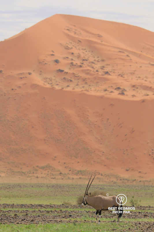
From Sesriem, a smooth tar road follows the dry course of the Tsauchab River for about 60 kilometres (37 miles) between increasingly high sand dunes and crosses into the Namib-Naukluft National Park. The road itself is almost too easy. Oryx graze among tufts of light green grass, and every few kilometres another perfectly sculpted ridge appears above the plain.
Then the asphalt ends abruptly at the appropriately named 2×4 parking area.
Beyond it, the final five kilometres (3 miles) towards Sossusvlei and Deadvlei follow a deep sand track through the riverbed. Ordinary cars stop here, while experienced drivers in proper 4x4s may continue independently. Despite our 4×4 training, we decide not to take any chances and board the About Africa shuttle.
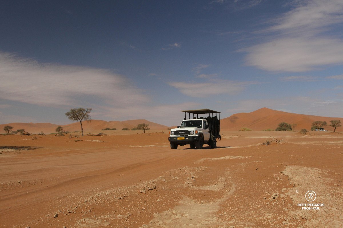
“Many people get through easily in the morning and then get stuck on the way back,” our driver tells us. The cooler morning sand is firmer and more forgiving. By the afternoon, after dozens of vehicles have churned up the track and the heat has kicked in, the return journey is less straightforward than the drive in.
The 4×4 sways from side to side, its engine working harder each time the tyres sink. We pass vehicles parked at awkward angles and deep tracks left by drivers who accelerated at the wrong moment. Eventually, the sandy corridor opens and our driver drops us off in the middle of the unreal landscape.
Sossusvlei: Where the River Stops
The name Sossusvlei is often used for the entire area, including its dunes, Deadvlei, and several neighbouring pans. Strictly speaking, Namibia’s famous Sossusvlei is one specific salt-and-clay pan at the end of the Tsauchab River.
The name is commonly translated as “dead-end marsh”: vlei is Afrikaans for a shallow depression or marsh, while sossus is believed to come from the local Nama language and refer to a place where the water can go no farther.
After plenty of rain in the nearby Naukluft Mountains, the Tsauchab River flows west into the Namib. It stops roughly 50 kilometres (31 miles) from the Atlantic Ocean, where these immense dunes block its flow and force the river to disappear into the sand.
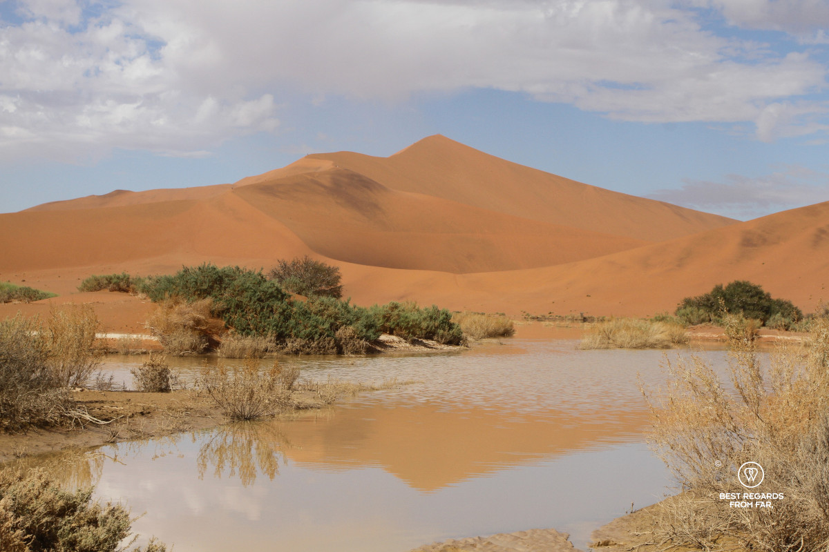
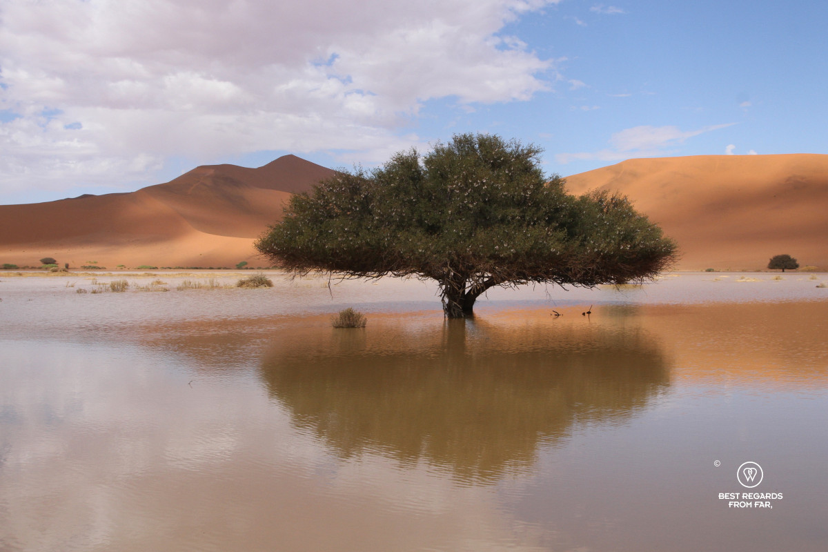
When enough water flows, it spreads across the enclosed pans, carrying fine particles of clay and silt. The water has no outlet. It remains trapped until the desert heat evaporates it, leaving the sediment behind. Flood after flood, followed by years of drought, has created the pale, hard surfaces of Sossusvlei and Deadvlei.
This time, the rain has transformed the landscape once more.
A Sand Sea Built by Water
It seems ironic that one of the driest landscapes on Earth owes its existence largely to water.
Much of the sand in the Namib Sand Sea began its journey far inland. Rivers eroded rock across southern Africa and carried the sediment towards the Atlantic Ocean, with the Orange River transporting a large share of it to the coast further south.
Once in the ocean, the sand was carried by the strong currents northwards along the Namibian shoreline. Waves deposited it on the beaches, and the prevailing south-westerly winds blew the grains inland, forming dunes.
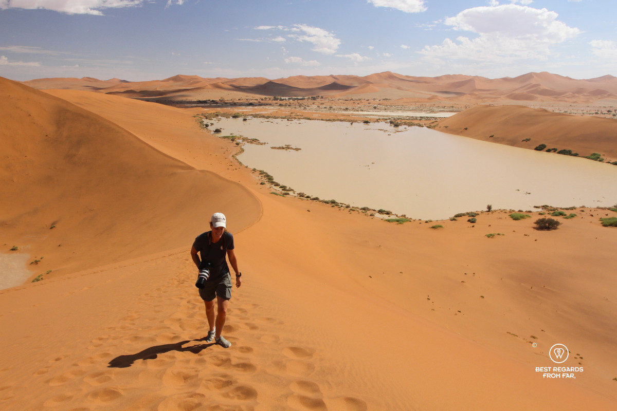
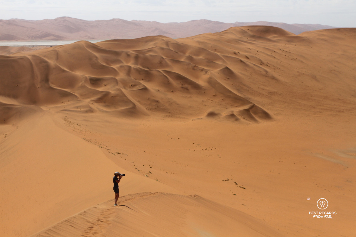
UNESCO describes this as a natural conveyor belt involving rivers, ocean currents, and wind. The process has created a sand sea covering more than three million hectares (7,413,160 acres), with an ancient, partly consolidated dune system beneath younger dunes that remain active today.
The iron-rich coating on many of the grains gives the dunes their orange and red shades. Their colours change constantly with the light: apricot in the early morning, bright orange at midday, and deep rust as the sun sets. Dark mineral streaks appear along some slopes where the wind has separated heavier grains from the lighter sand.
From a distance, the dunes look almost liquid. Their crests curl like breaking waves, while ripples run across their surfaces as if the tide has just withdrawn.
One of the Oldest Deserts on Earth
The Namib Desert has experienced arid or semi-arid conditions for at least 55 million years and possibly far longer. Even if hard to prove, it is one of the world’s oldest deserts and its ecosystem has had million of years to adapt.
Along the coast, the cold Benguela current cools the air above the Atlantic Ocean and fog regularly drifts inland and provides a much-needed moisture.
Some Namib darkling beetles climb the dunes to catch the fog and perform a handstand into the wind. With their irregular carapace reminder of a heat sink, droplets condense on their backs and run towards their mouths, allowing them to drink in a landscape where rain is scarce. Small reptiles bury themselves beneath the sand to escape the heat. Oryx allow their body temperature to rise during the day, reducing the need to lose water through sweating. A specialised network of blood vessels also helps cool blood before it reaches their brain that would otherwise melt. Their pale coats reflect sunlight, and they can survive for long periods without drinking. Ostriches, springbok, jackals, and rodents find food in a landscape that, at first glance, appears to offer nothing.
The Namib Sand Sea is the world’s only extensive coastal dune field whose ecosystems are strongly influenced by fog. Its life reveals itself to anyone who looks closely.
Today, though, there is no need to search for fog moisture. Rainwater lies in the open.
Big Daddy: a Challenging Midday Climb
While Dune 45, conveniently close to the road, is the region’s most frequently climbed dune, the much taller Big Daddy rises above the edge of Deadvlei, our goal for the day. Its ridge cuts a sharp line against the blue sky. In the heat of midday, the popular dune is deserted…
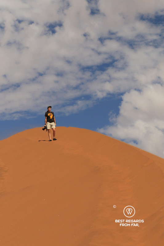
Our driver is gone and we follow the narrow crest in single file, trying to step into the firmer footprints left ahead of us. On either side, the sand falls away steeply. The ridge offers the easiest line, but “easy” is a relative term when every step sinks and slides backwards. One step up. Half a step down. As we gain height, Sossusvlei opens behind us. Camel thorn trees become tiny green dots yet as we approach it, the summit seems to keep moving away.
To our right lies Deadvlei, enclosed by dunes and still partly hidden below Big Daddy’s steep face. To our left rise the Naukluft Mountains, which we crossed during the 8-days along the Naukluft Trail, while below us the Tsauchab River ends in a maze of clay pans, trees and sand.
Taking the Most Dramatic Way into Deadvlei
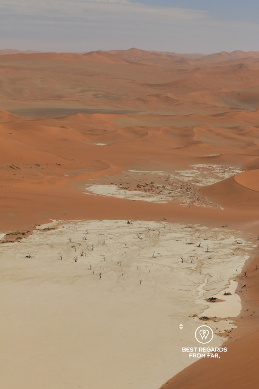
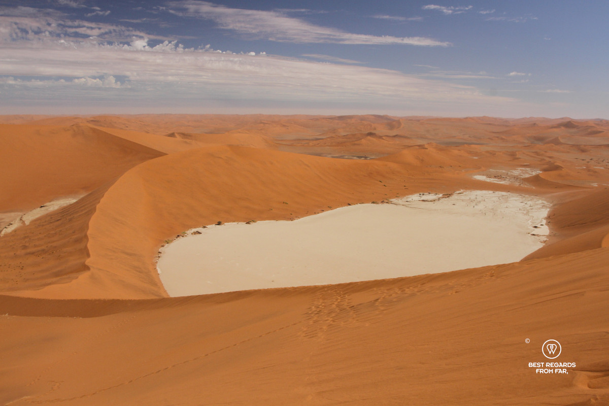
We finally reach the summit right above Deadvlei and look down at the white clay pan far below where the photogenic dead camel thorns attract visitors who seem small as ants.
After capturing the immensity of the desert, we let gravity take over, running madly straight down Big Daddy! Our feet disappear into the soft sand with every landing. Long steps turn into leaps, and the sand pours downhill around our ankles as we pick up speed jumping down like children. The climb has taken about an hour. The descent is over within minutes.
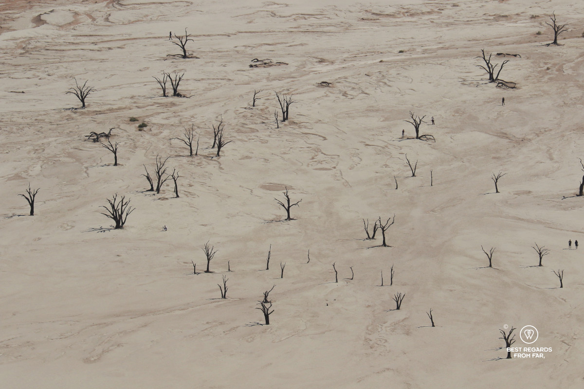
By the time we reach the bottom, our socks are filled with sand, and as we empty them, we notice our two tracks from the ridge towards the pan. The wind is already starting to soften their edges.
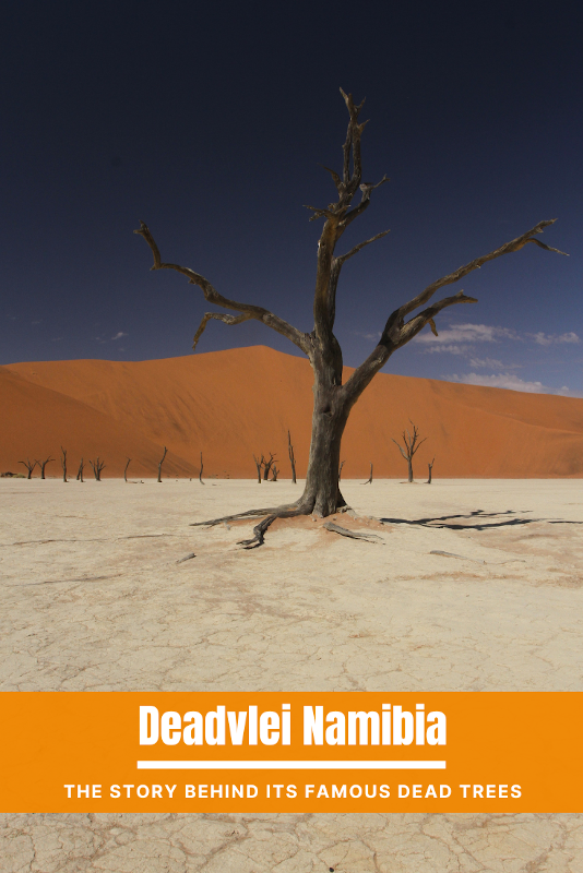
Ahead of us stands the dead forest of Deadvlei, with the famous ancient camel thorns now much taller than us.
The Trees that Did Not Rot
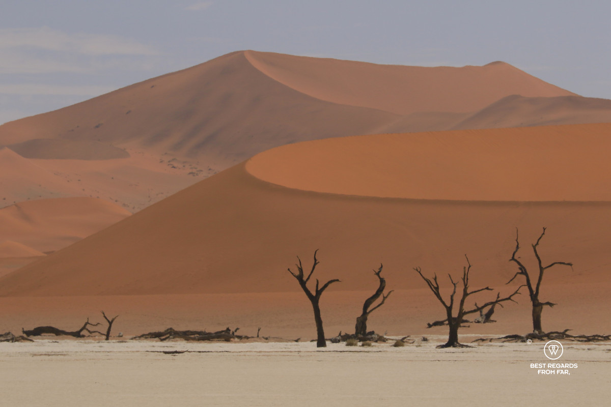
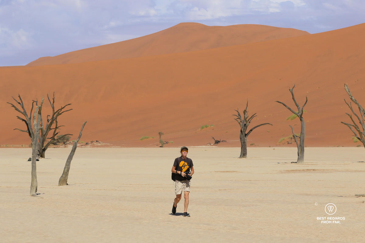
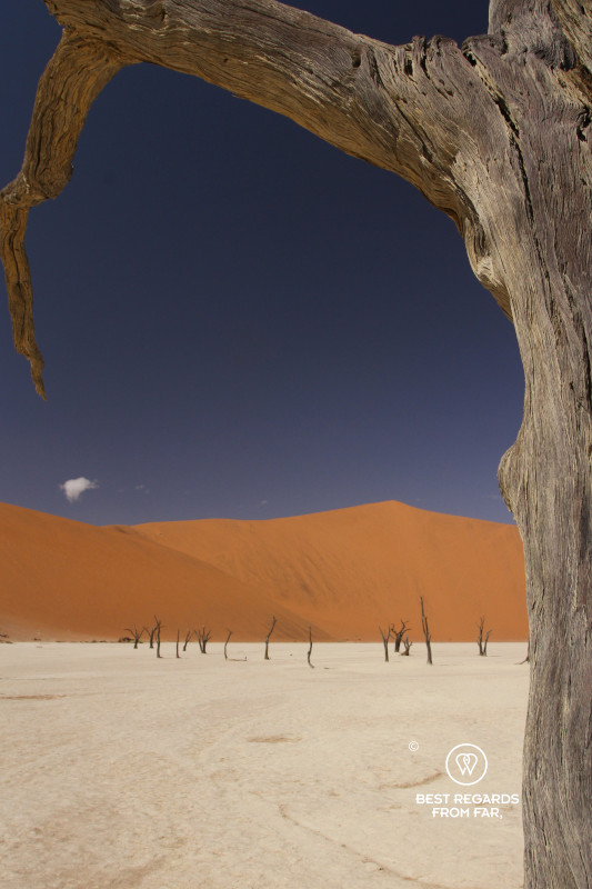
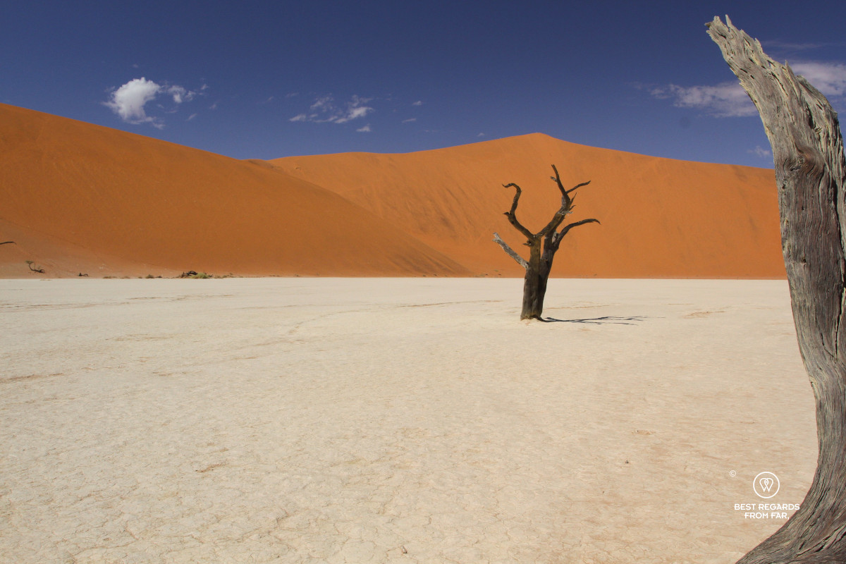
Arriving in Deadvlei from Big Daddy is completely different from following the regular tourist trail. We arrive from above and from the far side of the pan. For a few minutes, there is no one around us. The solid white clay stretches ahead, encircled by orange dunes, with dead trees standing motionless across it as though they were part of a Dali painting.
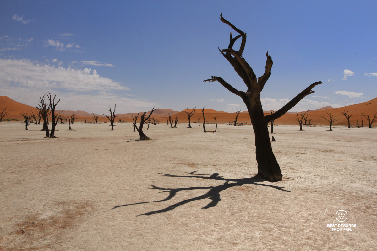
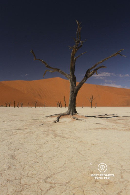
Compared to the soft sands, the white pan feels solid – and resting – beneath our feet.
The camel thorns, or Vachellia erioloba, are protected. Estimates vary, but they are commonly believed to have been dead for almost a thousand years…
When floodwater still reached Deadvlei a millennium ago, it allowed these remarkably resilient desert trees to grow. Camel thorns can develop very deep root systems to reach underground moisture. However, they could not survive once the river stopped entering the pan.
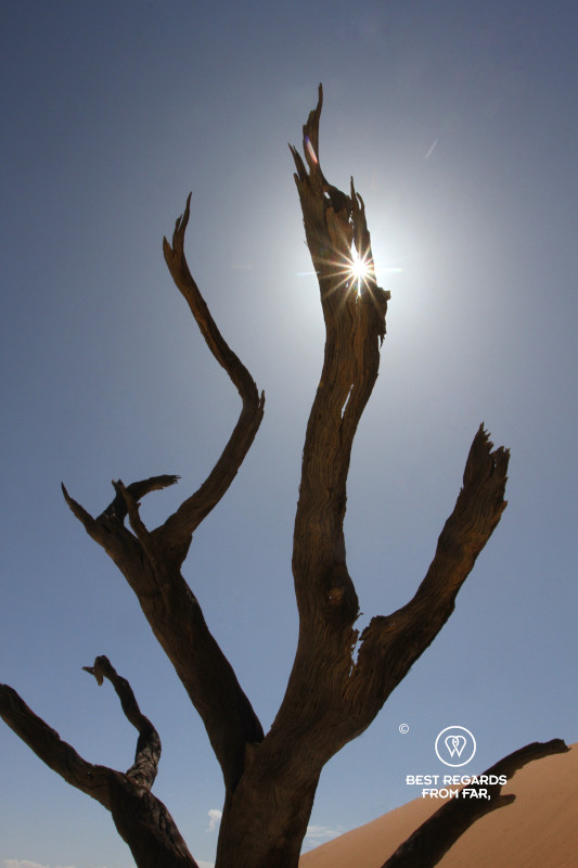
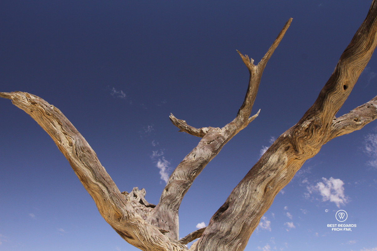
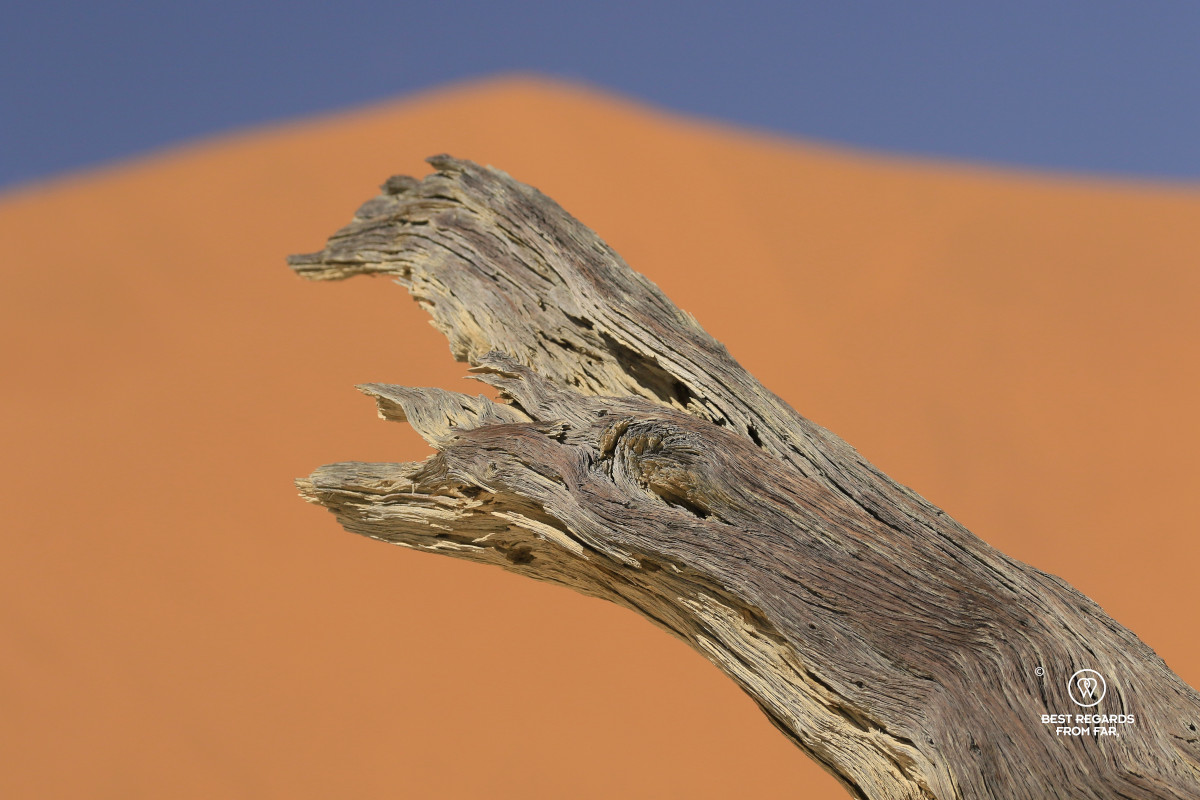
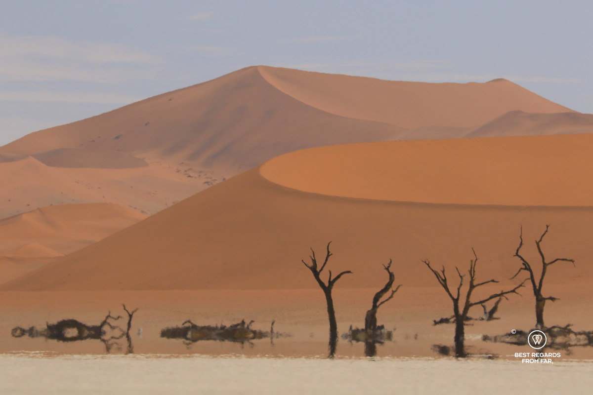
We take a closer look and notice that they are not petrified. Their wood remains because the climate is so dry that fungi and other organisms responsible for decomposition cannot act. Sun and heat have turned their trunks grey.
We wander between them, looking for different shapes against the dunes. Some stretch their branches upwards; others have slight angles created by the wind centuries ago. They are all frozen in time.
Crossing Towards the Familiar Side of Deadvlei
As we exit Deadvlei, we eventually cross path with visitors, and the pan becomes busier as we approach the regular way. People walk carefully between the trees, searching for the compositions they have seen before arriving, snapping selfies, changing clothes. We turn around to see Big Daddy rising behind us and feel grateful that we took on the challenge and experienced the view from its ridge in solitude, in Namibia’s most photographed place.
***
The desert was not supposed to look like this. By the time we leave, though, it is clear that Sossusvlei is not supposed to look any one way.
The wind is already softening our tracks down Big Daddy. The puddles have shrunk visibly since this morning, and tomorrow, the pans will be drier and the wind will continue to sculpt the dunes by moving its sand bits by bits.
The flooded desert we found this morning will never look quite the same again. After millions of years in the making, the Namib Desert keeps being reshaped.
Travel tips:
- Visitors can park at the 2×4 parking area and take the paid shuttle for the final 5km (3 miles) which provides the best experience.
- In the dry heat, sweat evaporates fast, and dehydration is common: carry your water bottle & drink plenty.
- Do not touch the dead trees of Deadvlei!
- Check out this interactive map for the specific details to help you plan your trip and more articles (zoom out) about the area!

