Text & Photographs: Marcella van Alphen & Claire Lessiau
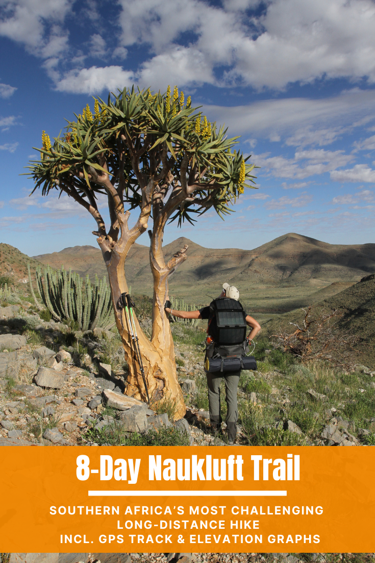
The iconic 5-day Fish River Canyon hike sits high on many hikers’ wish lists, but far fewer have heard of the longer, rougher, wilder and arguably even more dramatic Naukluft Hiking Trail. The 8-day circular Naukluft trail through the Namib-Naukluft National Park leads through deep canyons, past crystal-clear rock pools, through riverbeds and across plains where animal paths are often clearer than the trail itself. Leopard and hyena tracks cross the route; mountain zebras, oryx, springbok and critically endangered black rhinos roam the mountains alongside many other species. There is no easy road access, no other humans on the trail, no nearby villages and no mobile-phone signal. Completing the Naukluft trail requires experience, careful preparation, an understanding of animal behaviour and a willingness to rely entirely on the group for eight days. This is no casual walk in the park.
Pin it for later!
BuellsPort: A Homey Base for the Last Preparations
After the three-hour drive from Windhoek, we arrive at BuellsPort Lodge & Farm, named after Bull’s Mouth Mountain. For more than 50,000 years, people have used the narrow Tsondab Valley as a natural passage through the Naukluft Mountains, following game between the highlands and the eastern Namib Desert. Livestock farmers settled here much later, drawn by the greenery along the Tsondab River.
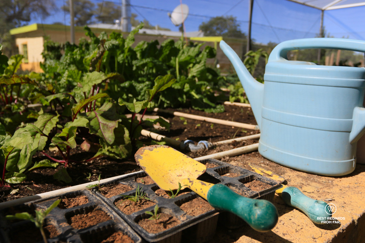
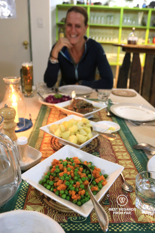
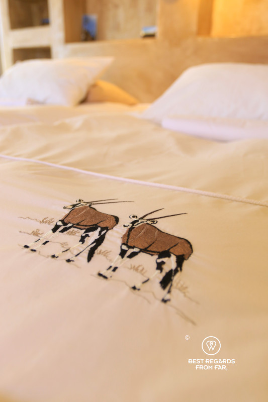
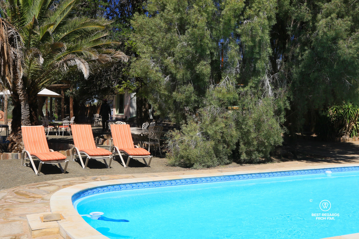
What was once first a cattle farm and later a sheep farm is now a comfortable base for hiking and horse riding. Johanna Sauber walks us to our room. She fell in love with Namibia, and with Ernst Sauber the farm’s owner and moved here from Germany more than 35 years ago. Drought forced them to stop livestock farming, although they still keep a few cows for homemade mozzarella, feta cheese, and cottage cheese. Vegetables from the garden become part of our final home-cooked dinner before a week of freeze-dried food.
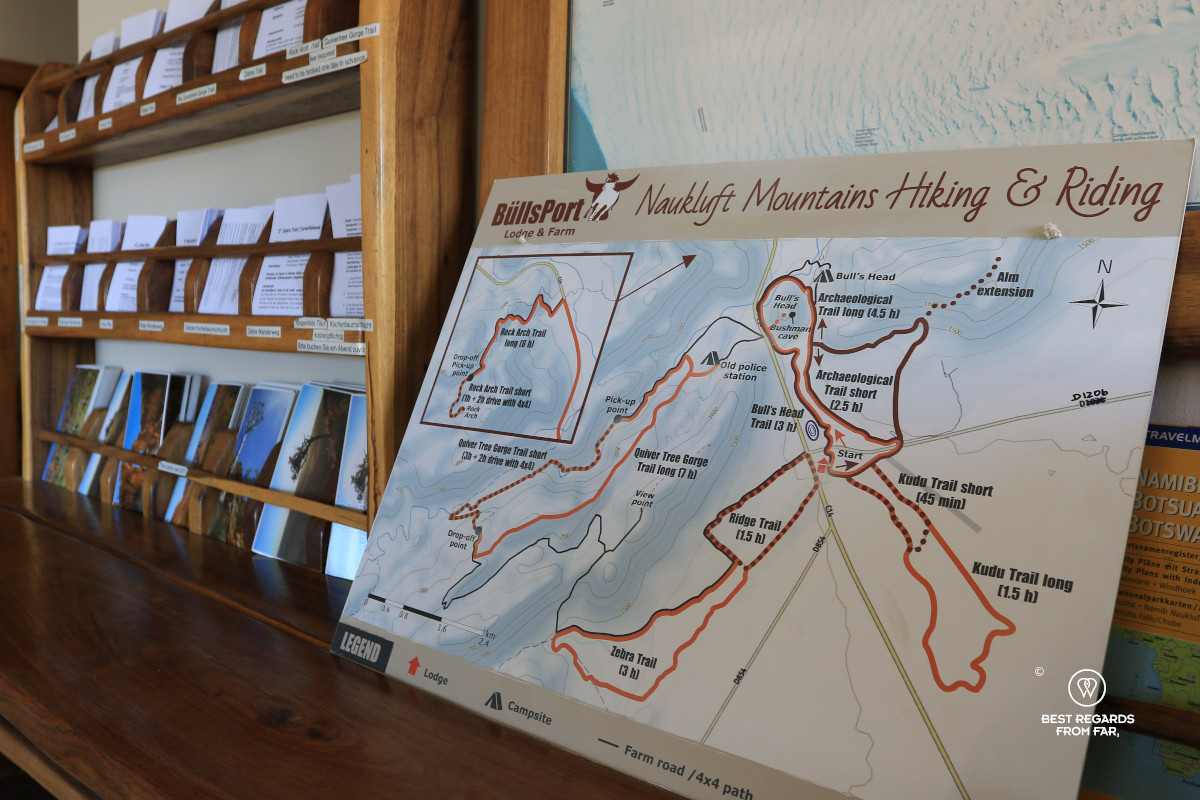
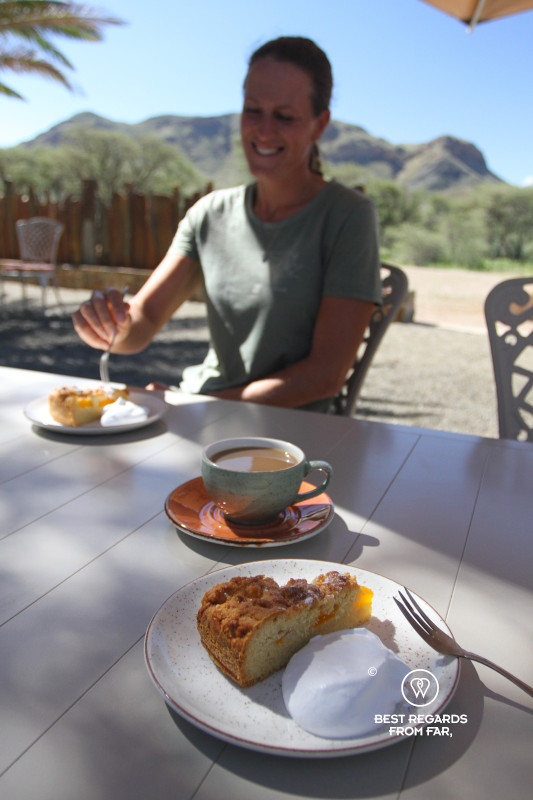
Over coffee and homemade cake, Johanna describes the hiking trails of BuellsPort. We lack time for the famous quiver-tree hike and decide to tackle the archaeological trail. It loosens our muscles and gives us a view of the mountains we are about to explore in depth. From here, their compact wall reveals little of the canyons, springs and high plains that lie within.
Day 1: Naukluft Main Office to Putte Shelter
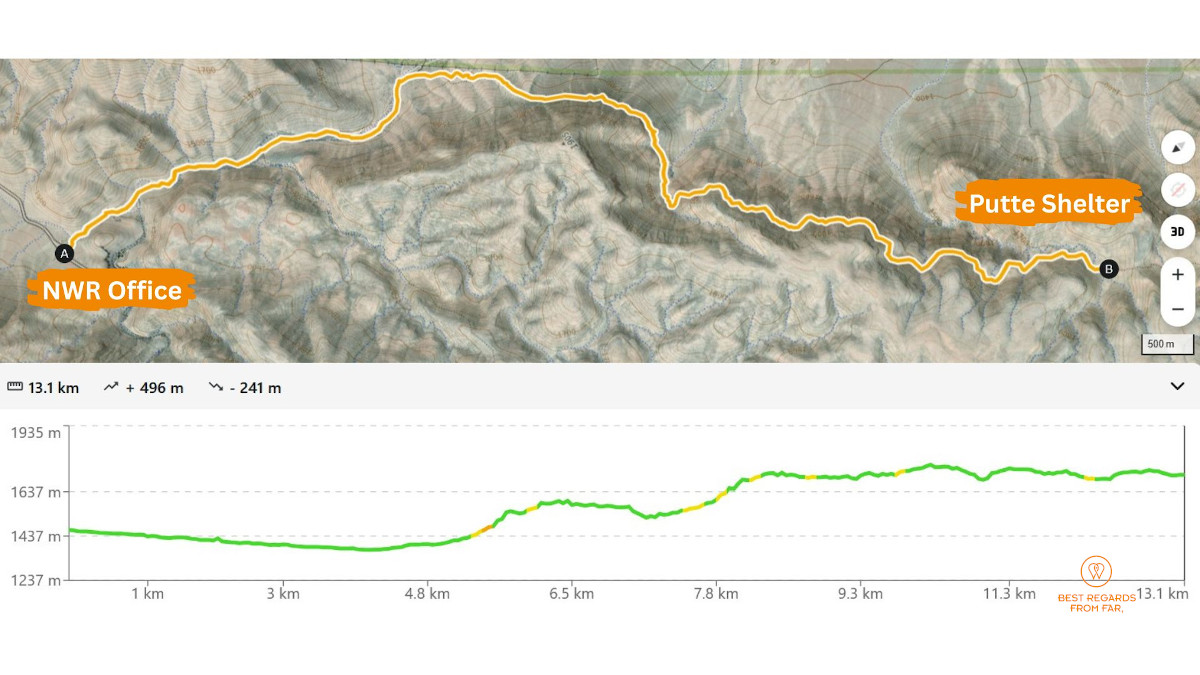
13.1 km (8.1 miles) | Elevation: +496 m (+1,627 ft) | -241m (-791 ft)
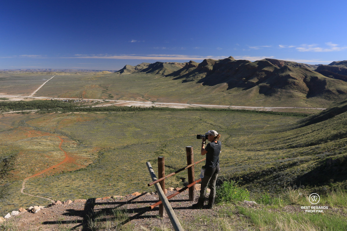
We open the national-park gate and continue driving through a landscape made unusually green by exceptional April rain this year. At the reception area, Ranger Lester studies our permits and medical clearances before taking our park fees. He unfolds a map and walks us through every stage, focusing particularly on water. He insists that we hike together as we will be moving through black rhino and hyena territory, and seems reassured by our tracking experience. To reduce human impact on this protected ecosystem, only three groups are allowed to enter each week, with departures spaced several days apart. We will not encounter any other people during these eight days.
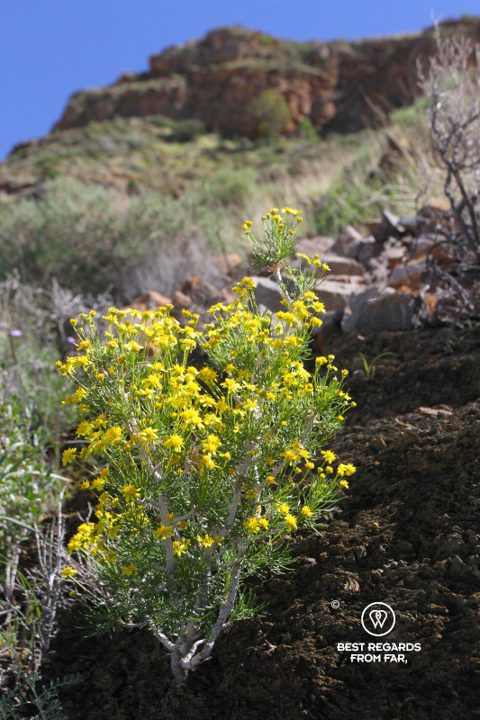
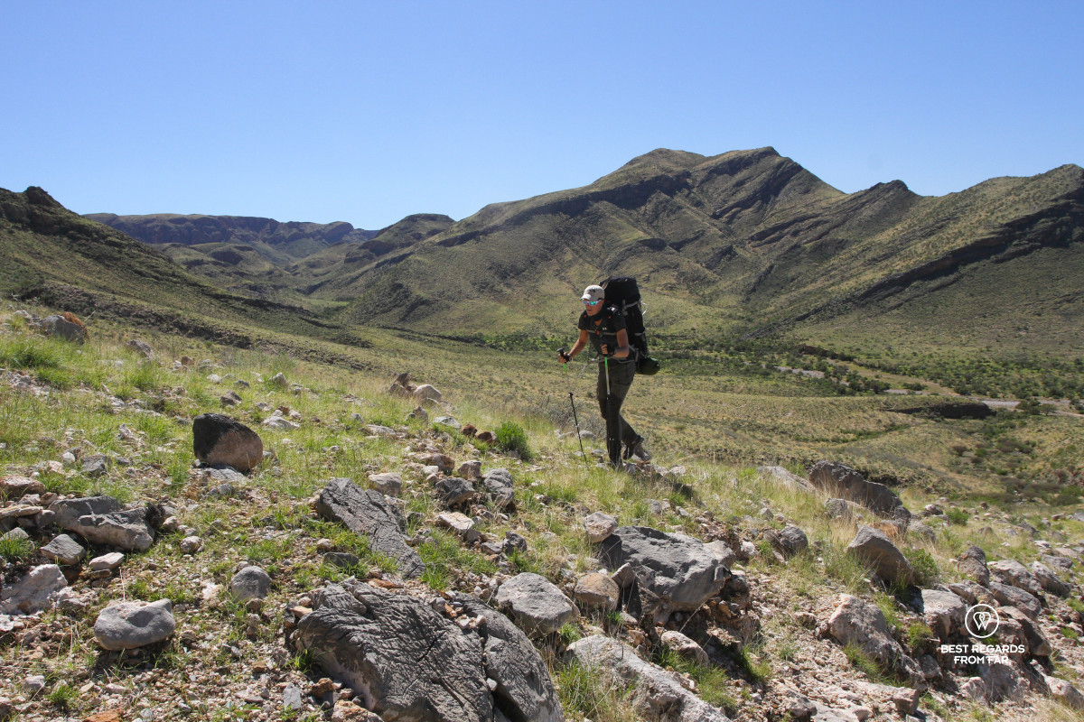
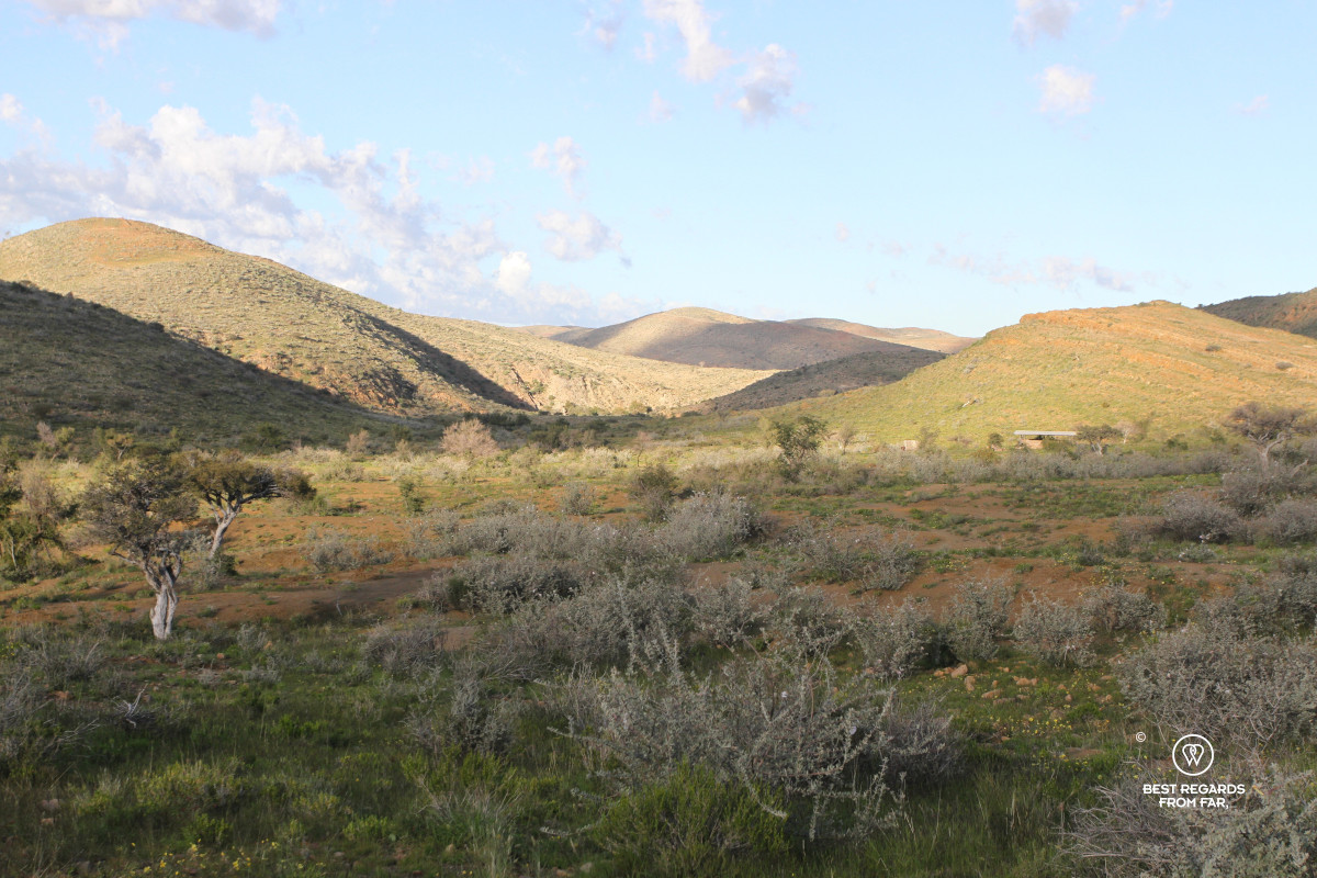
After refilling our water filters, we follow a dry riverbed. Guinea fowls scatter in front of us as we approach. After about 4 kilometres (2.5 miles), the trail winds up steeply through dry vegetation until we cross to the other side of the mountain, where small, colourful flowers cover the slopes.
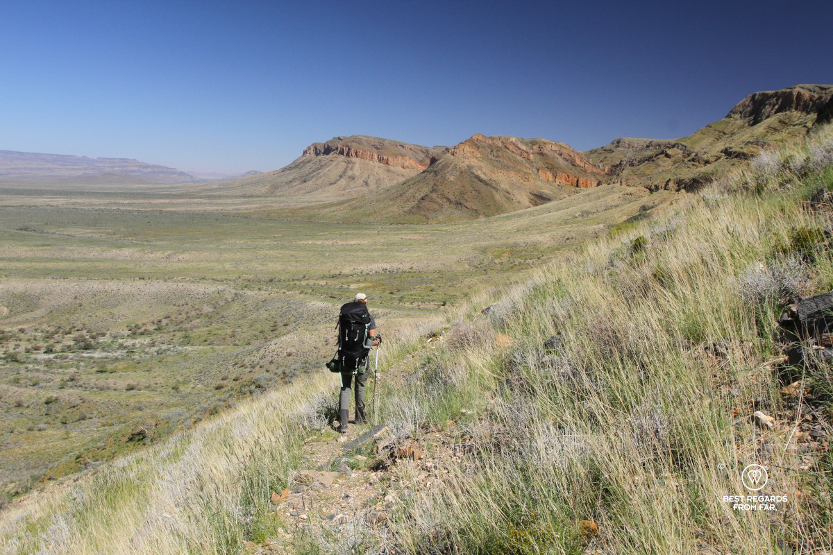
The red rocks tower above the riverbed we have just left. There, a vast depression ends against distant arid mountains. Candelabra euphorbia shape the ridge line, their twisted stems growing up to 3 metres (9.8 feet). Their milky latex is toxic to humans and many animals, yet black rhinos browse these spiky succulents barely noticing the thorns that would impale us!
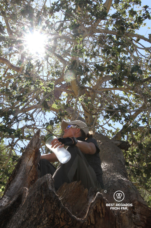
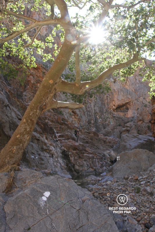
We find water in a gorge and rest in the welcoming shade of a majestic tree before climbing out along the buttresses. We continue along the contour of the mountains under the scorching African sun.
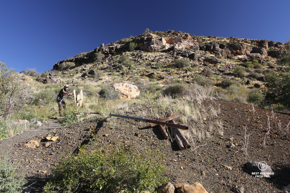
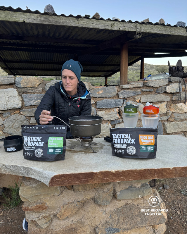
Among the peaks, a flat clearing appears with a stone structure and a simple tin roof. We approach the Putte Shelter with its sandy floor, where we pitch our tent, protected from the elements. About 100 metres (328 feet) from camp, a hand pump allows us to get water from a borehole to wash and cook. The pipe is rusty and the water reddish, so we filter it to stay safe. As the wind strengthens and temperatures drop, we settle into the routine that will define the coming week: water, washing, food and sleep.
Day 2: Putte Shelter to Ubusis Hiker’s Hut
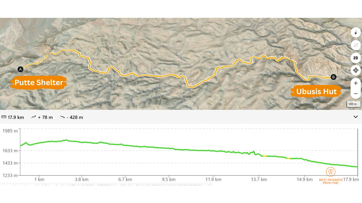
17.9 km (11.1 miles) | Elevation: +78 m (+256 ft) | -428 m (-1,404 ft)
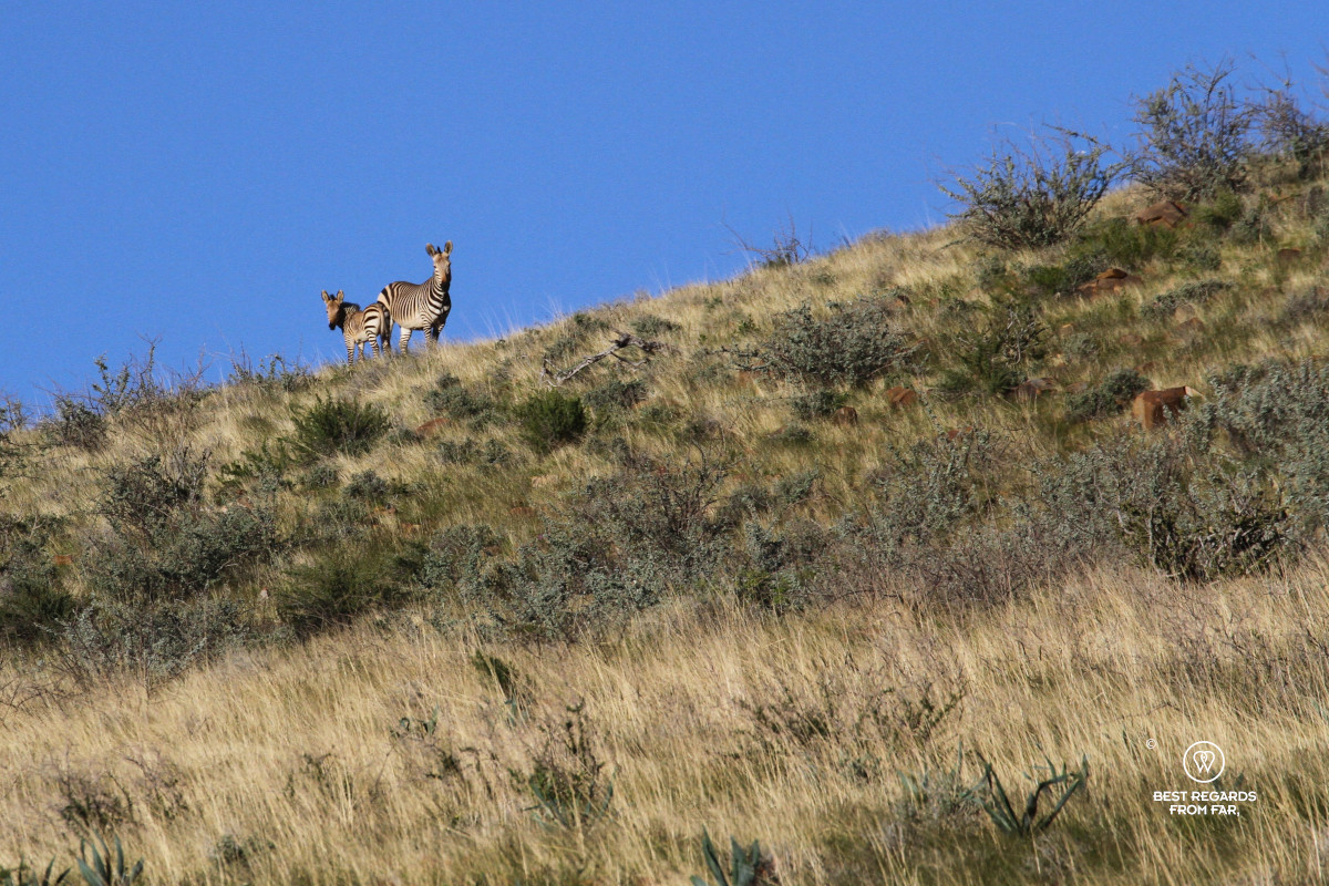
Fresh zebra dung appears soon after our first short ascent of the morning. While mountain zebras haven’t been seen around for a while during the drought, the recent rains have restored their grazing fields. Around the next bend a harem of mountain zebras has already spotted us. Between the regular clicks of our hiking poles and the wind blowing from behind, we are difficult to miss. The zebras trot towards the ridge line and disappear.
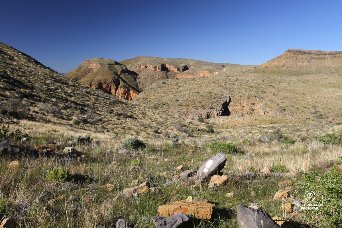
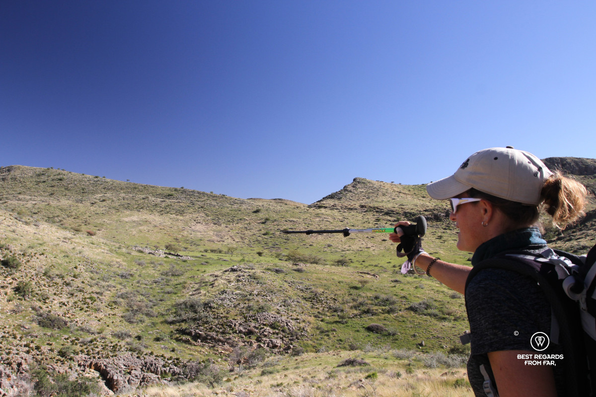
Animal tracks criss-cross the plateau, forcing us to watch for the white trail markers that have recently been painted on the rocks. It is easy to accidentally follow a wider animal trail as more wildlife than people walk here. We stop to study tracks regularly. A clear leopard track in the canyon shows it visited the same waterhole as the hyenas whose kidney-bean-shaped tracks surround that of the solitary leopard.
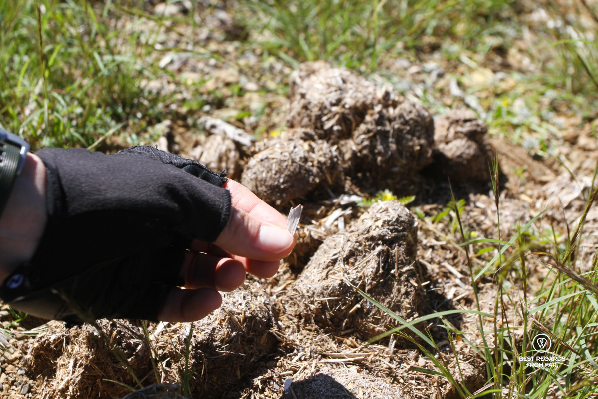
After crossing several dry riverbeds we find our first black rhino midden. Rhinos repeatedly use these communal dung piles and scatter them with their feet, to exchange information with other rhinos.
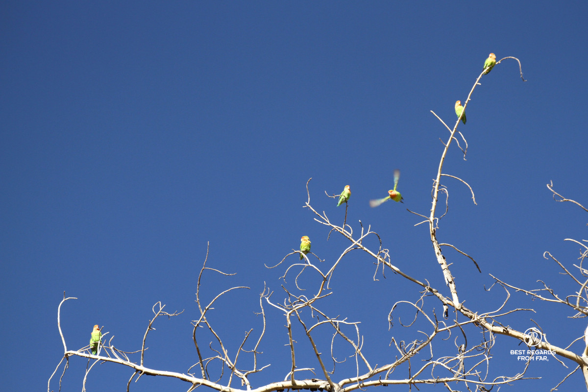
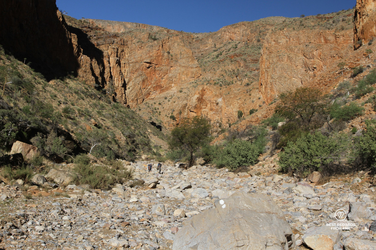
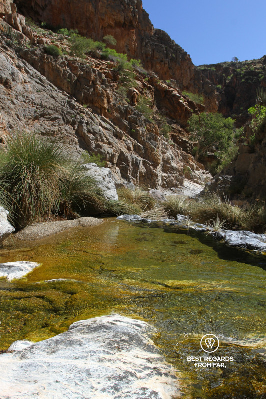
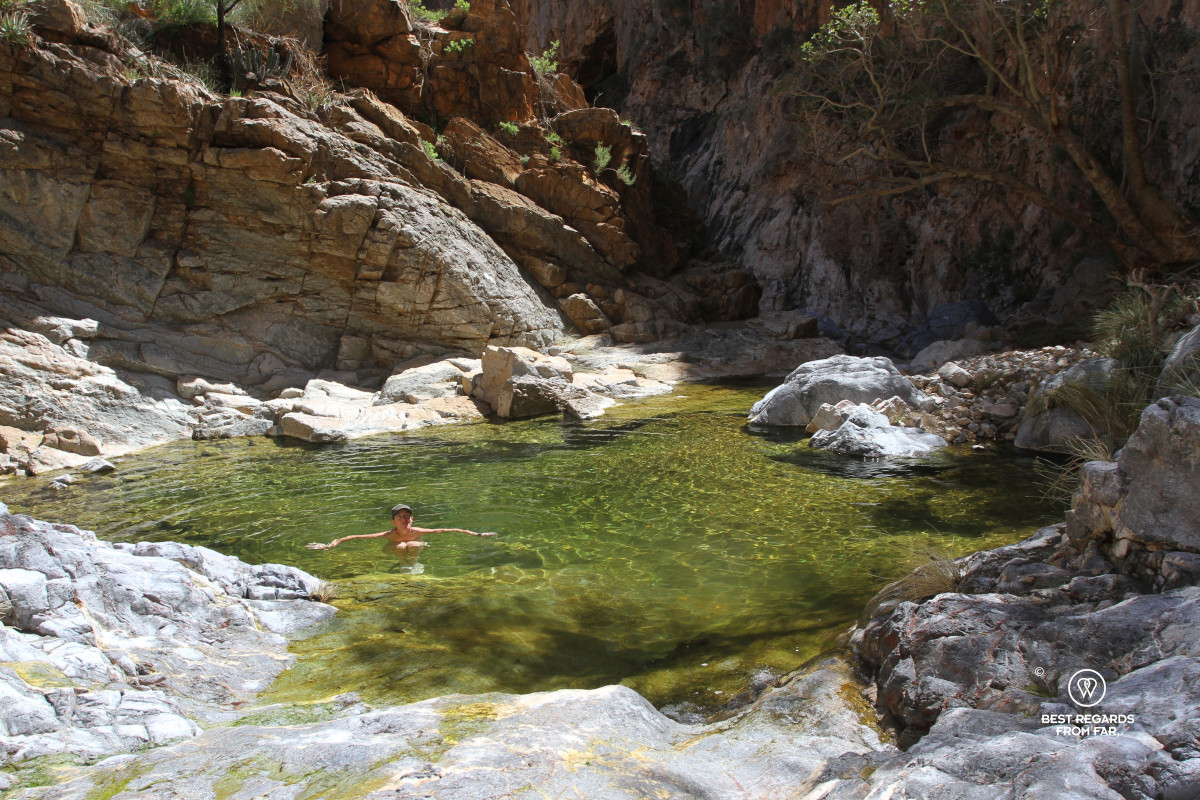
Beyond the old Bergpos windmill, we enter the Ubusis Canyon. Rosy-faced lovebirds chatter from the trees. Flocks of these green and blue parrots with their cute pinkish faces announce water, even though it is hard to believe in this arid landscape. They are never wrong, and patches of water appear in the dry riverbed of the Ubusis Kloof, that soon become crystal-clear pools with emerald green hues where life thrives. The red canyon walls, dotted with succulents, contrast with the deep blue African sky. Green frogs jump into the rock pools when we pass by.
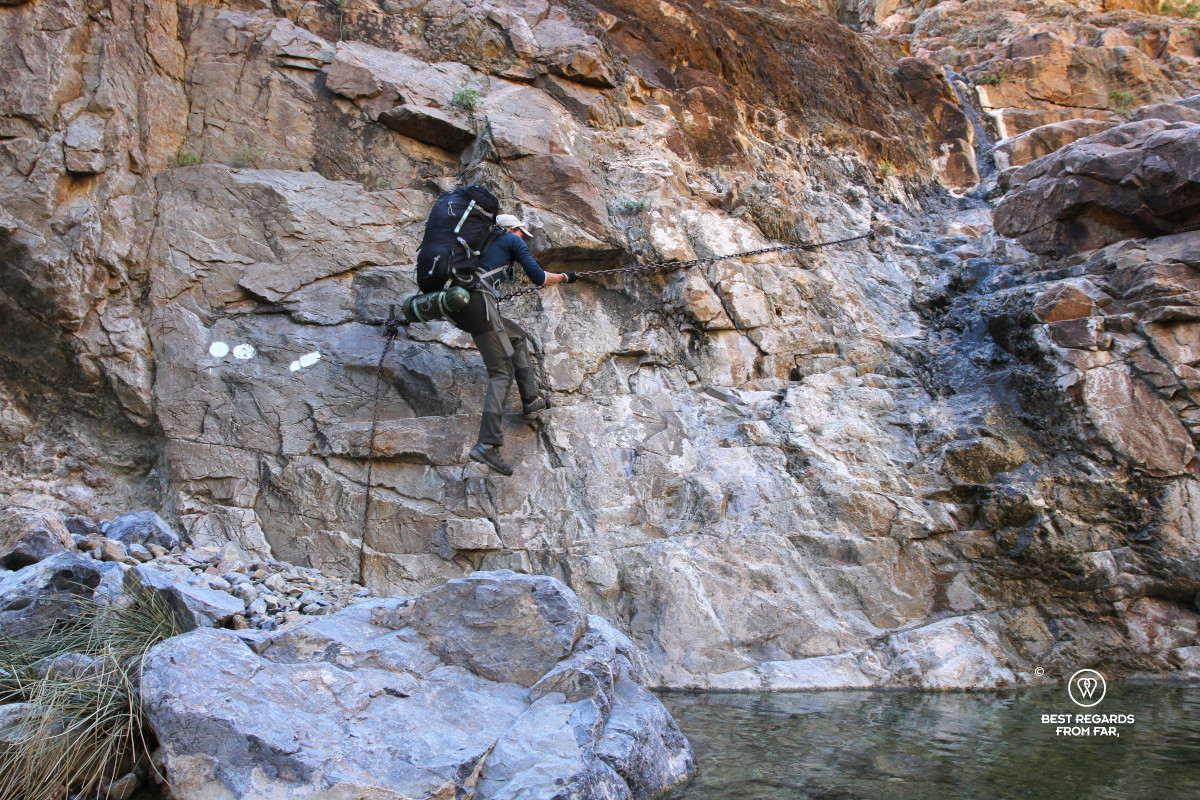
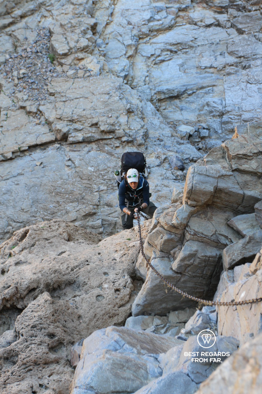
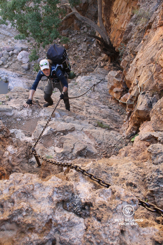
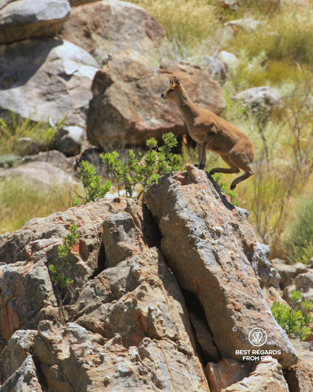
Five fixed chains allow us to descend dry waterfalls, some almost vertically. Our 16-kilogram (35-pound) backpacks makes the descent a balancing exercise, definitely lacking elegance. The alarm call of a klipspringer echoes against the walls of the canyon, probably a lough at us as it negotiates the steep cliff in a breeze.
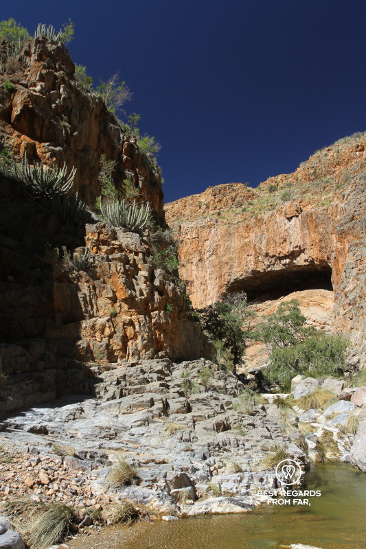
Beyond the chains, moringa and quiver trees grow on the gentle slopes. A strong smell of urine makes us sharpen our senses. We count about 15 black rhino middens. Some are old but others are very fresh, and the vegetation is dense around us. While we crouch to study a fresh midden, the inside of the dung is still wet. The tracks around are so fresh that we can distinguish prints of the three toes of a rhino that passed through the sand only a few hours earlier.
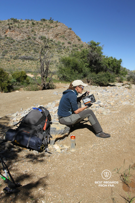
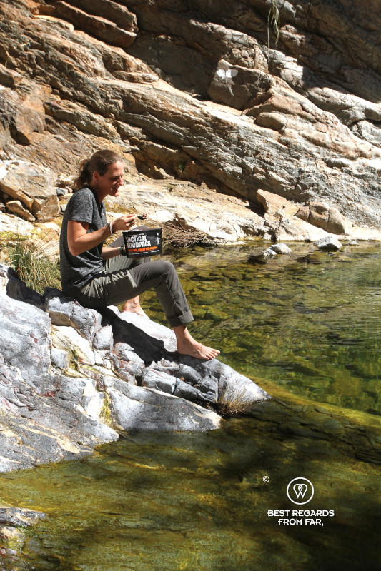
As the river bed widens, a roof finally appears. A former holiday home has been converted into the very basic Ubusis hiker’s hut. The cold shower washes away today’s dust. We shuffle through our Tactical Foodpack dinners, each enthusiastically deciding on the menu. We eat below the Milky Way and fall asleep to the sound of the river flowing.
Day 3: Ubusis Hiker’s Hut to Adlerhorst Shelter
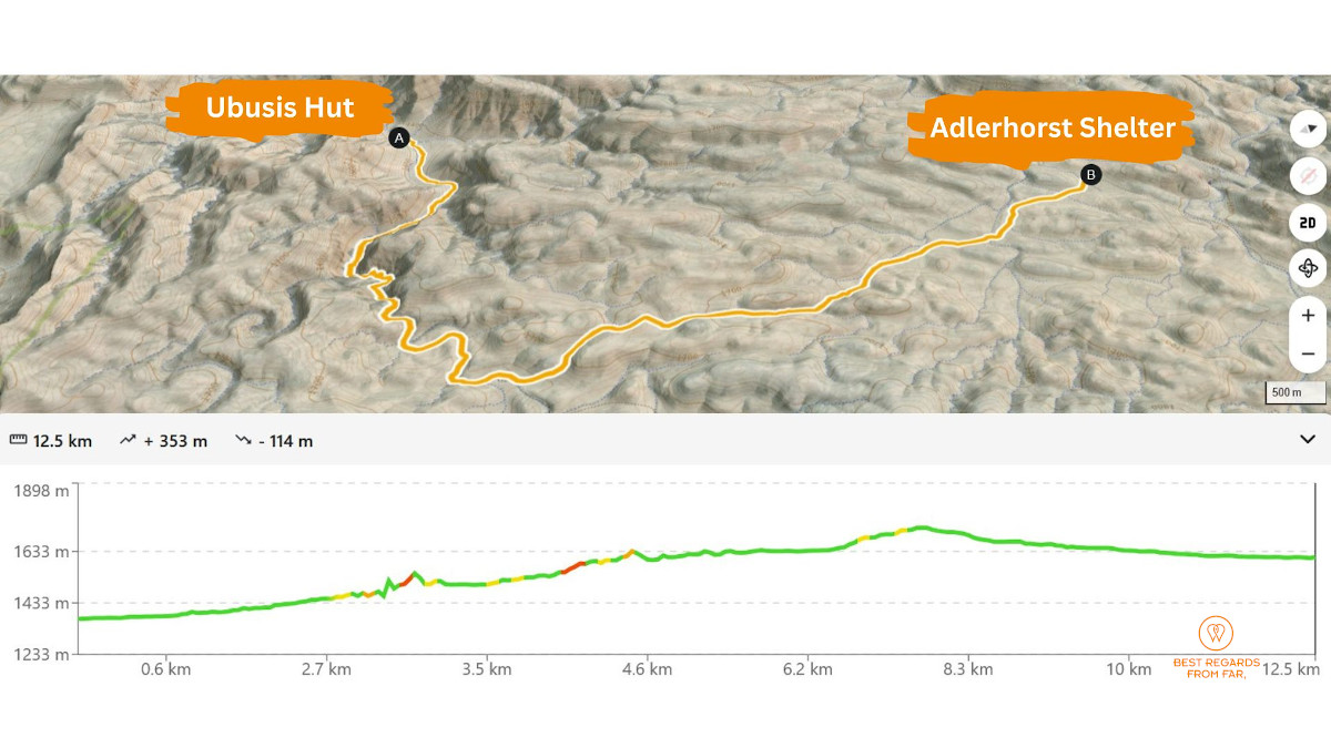
12.5 km (7.7 miles) | Elevation: +353 m (+1,158 ft) | -114 m (-374 ft)
We retrace through the canyon towards the chains. They feel easier up than down but make our hearts pump. The sun enters the canyon and the temperature rises: perfect timing for a swim, even if the water is cold. We rest lying flat on slabs that have the perfect angle and already warmed by the morning sun.
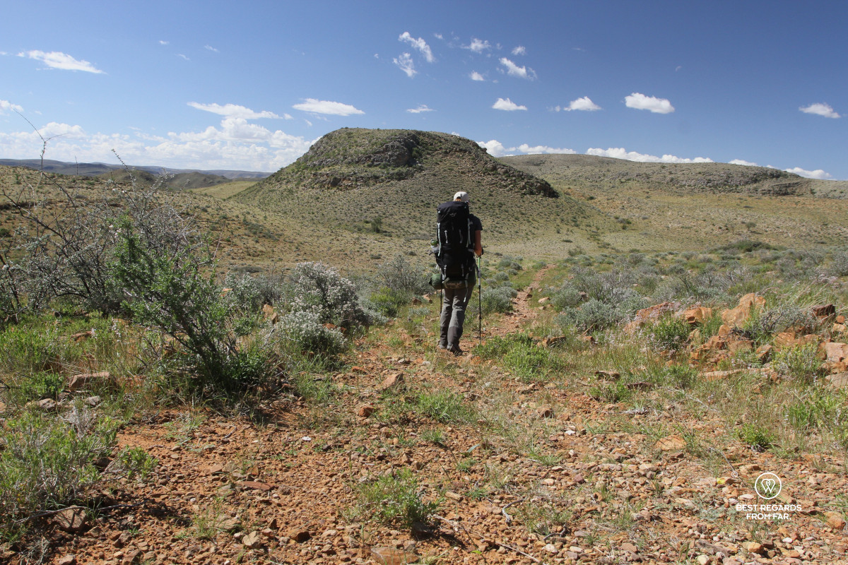
Back at Bergpos windmill, we head north toward the Adlerhorst Shelter. The relatively easy route crosses a plateau surrounded by green mountains, an uncommon sight in this normally arid region. A thick black snake, perhaps 1.5 metres (4.9 feet) long, crosses the path right in front of us before disappearing into the thick grass. Its colour, build and daytime activity are compatible with a harmless black-coloured mole snake, but the encounter lasts only seconds and we do not see its head clearly enough for a possible identification.
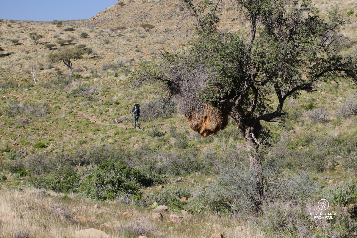
Passing a dry riverbed, a strong scent of urine prompts us to scan our surroundings closely once more. We find a black rhino midden and watch mountain zebras trot up a distant slope. Some trees are almost breaking under the weight of enormous communal nests with multiple entrances, built collectively by sociable weavers. The birds not only nest there but also shelter from predators and rain and roost there at night. A colony can contain hundreds of birds!
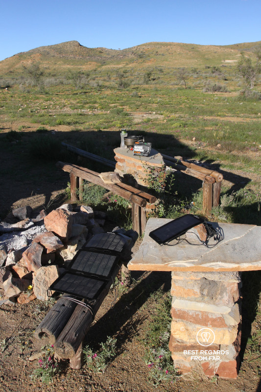
The Adlerhorst Shelter is built in the middle of an open field. We pitch inside its roofed stone enclosure with the water pump conveniently close. Our Sunslice solar panel charges our power banks with the last sun light while we wash and get into our clean clothes. After every meal we look forward to a lighter backpack, yet our freeze-dried meals weigh only 100-grams (3.5 oz), so we don’t really feel the difference yet. We savour a hearty lentil stroganoff at sunset overlooking the landscape in search of wildlife. Shortly after our habitual stargazing moment, we fall asleep to the sound of a deafening silence.
Day 4: Adlerhorst Shelter to Tsams Ost Shelter
16.4 km (10.1 miles) | Elevation: +258 m (+846 ft) | -536 m (-1,758 ft)
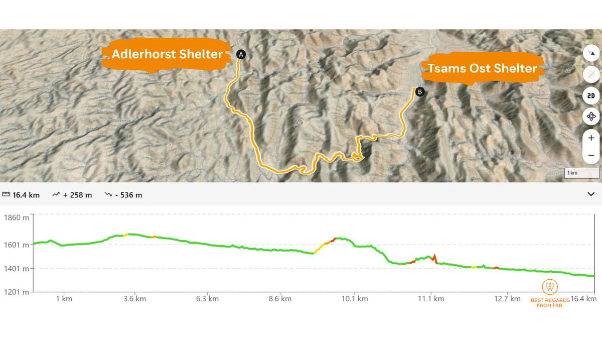
Birds start chirping shortly before sunrise. Following our routine we roll up our mattresses and sleeping bags, fold our tent and cook breakfast before setting off through high grass dotted with acacia trees and buffalo thorns.
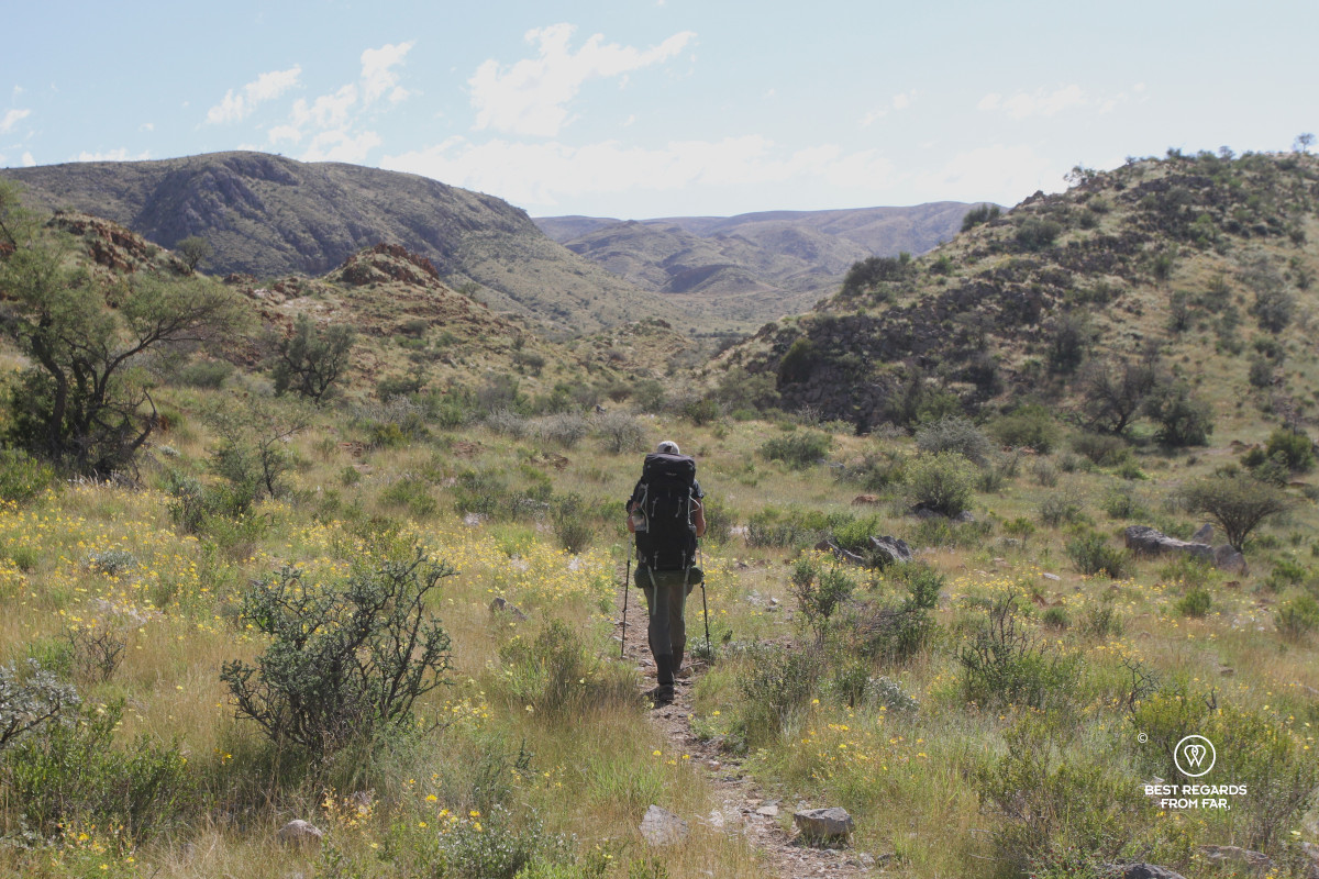
Claire walks in front, while Marcella follows at a different pace on the gentle uphill. The gap gradually widens to about 300 metres (984 feet), which should never have happened. We both live a very different experience, and learn a lesson…
***
Marcella: While crossing a large open field on a gentle incline, I find another midden containing rather fresh rhino dung and remain alert. Suddenly the ground starts trembling and stones are rolling in the riverbed. I stop abruptly, my eyes narrow. I instinctively turn my head towards the sound. Branches crack as two black rhinos burst out of the vegetation into the field at my two o’clock.
My eyes widen; I stop breathing for a moment, then blow my whistle to alert Claire. Have they noticed me or her? The rhinos halt with their heads raised, noses testing the air and ears rotating independently.
I remain motionless for a moment and quickly assess the wind.
They are about 100 metres (330 feet) from me. They are not charging me, but they are alarmed and trying to locate whatever disturbed them. At a black rhino’s top speed of about 55 kilometres per hour (34 miles per hour), they could reach me in less than seven seconds!
I look for safety. A tree stands just a few metres behind me in this barren landscape. I slowly back towards it, hide myself behind it as best as I can as its trunk is not that thick, and consider whether I could climb it in the event of a charge. The wind is in my favour, carrying my scent away, but the open field leaves little margin for error. The mother and her almost fully-grown calf circle nervously, stopping to listen and smell. They seem focused on the ridgeline that I need to cross. I remain motionless behind the tree, recording a short video while watching intently.
What feels like an hour lasts about five minutes. The rhinos circle once more and trot noisily back into the riverbed, leaving a trail of dust. I stay behind the tree for another five minutes before leaving cover and crossing the rest of the field, hoping my scent will not attract them. As I hurry to catch up with Claire, she is meanwhile having a very different experience…
***
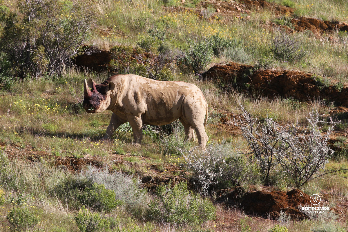
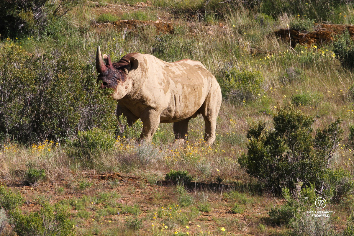
Claire: I hear the hooves of zebras while I am studying the freshest rhino tracks I have seen so far just past the ridgeline. I see a black and white head pop in the distance. I continue at a good pace carrying my hiking poles in one hand to avoid making noise, and with my zoom lens ready. But the zebras are jumpy and I see them gallop and disappear. A bit disappointed, I follow the trail and stumble upon a huge mass. I stop in my tracks and I can’t believe my eyes. This one is so big that he looks like a white rhino. But it can’t be! It is a black rhino only about 50 metres (165 feet) away from me! I observe him as he browses and sprays his urine to mark his territory. His poor eyesight and the favourable wind have prevented him from noticing me. I stand still, alternating between my phone and camera.
The head of this big black rhino bull is drenched in blood, most likely from a recent fight. Marcella quietly approaches in a crouch, visibly shaken. We need to exit his territory without him noticing us, and this means we will have to get upwind from him, a tricky position. Swiftly and silently, we make our move.
Only after putting sufficient distance between us and the prehistoric animal, we discuss what happened. Three critically endangered black rhinos within minutes, including a mother and calf. It is an extraordinary sighting, but also a blunt lesson. We should never have allowed that much distance between each other. Lesson learnt!
***
The trail continues through the dry Tsams River Gorge. We descend with the help of a chain and balance on a dead tree trunk to negotiate what must be a daunting waterfall during the rainy season. Farther downstream, we bypass an even larger waterfall by climbing steeply around it. The detour rewards us with a breath-taking view over the dry canyon, the Naukluft Mountains and even the distant red dunes of Sossusvlei. Back down in the canyon, puddles of water attract birds and life sprouts.
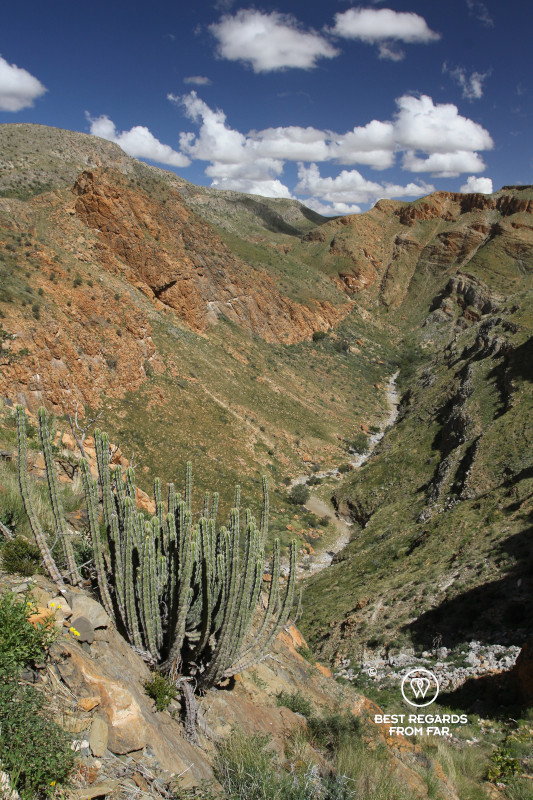
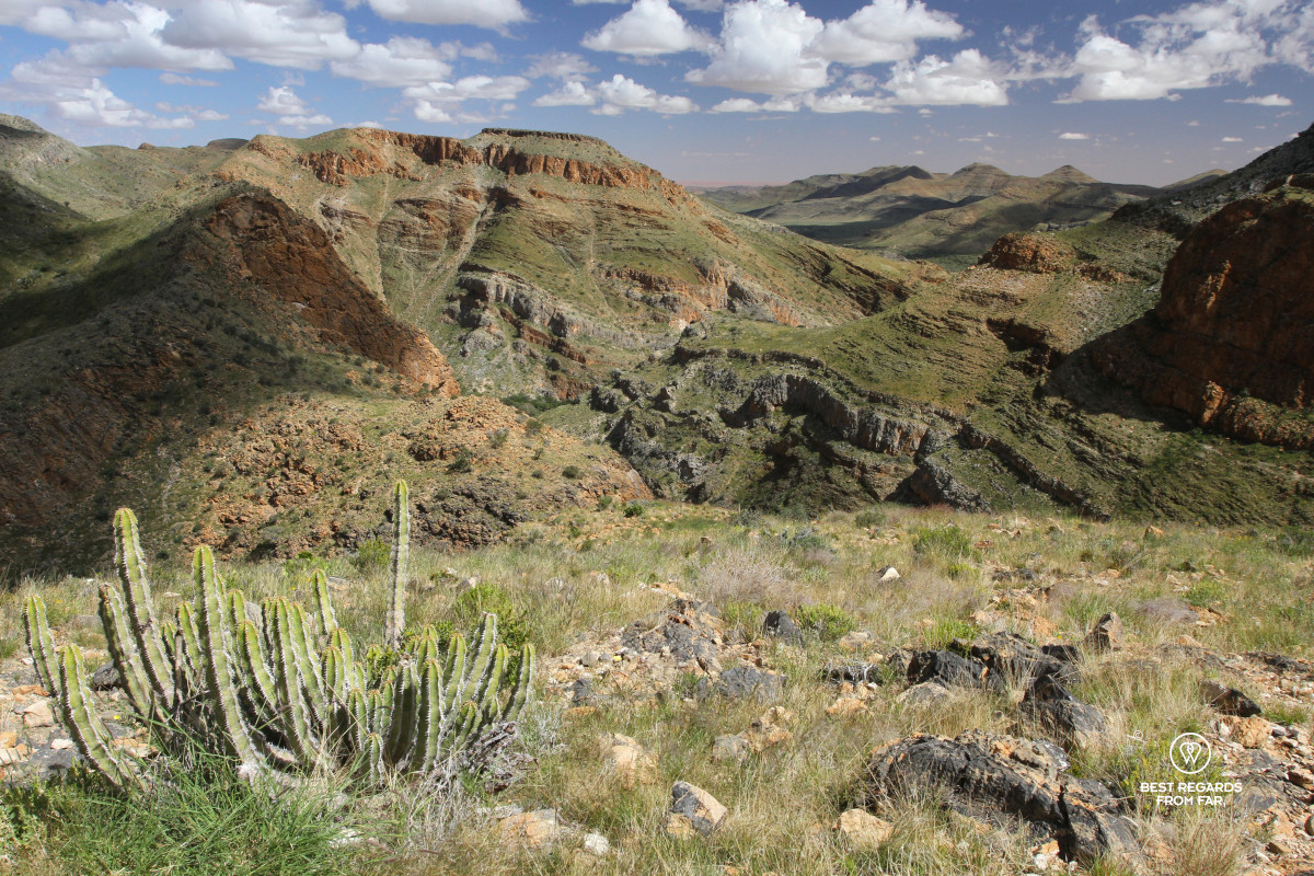
For once we are happy to see a dirt track that links the Tsams Ost Shelter and allows a shorter 4-day version of this trail. At camp, surrounded by acacia woodland and numerous giraffe and baboon tracks, the shower feels like a real luxury. At night, loud Guinea fowls roost in the tree next to us. Exhausted, we fall asleep with the rhino encounters fresh in mind while rather near zebra alarm calls makes us wonder what they are startled by.
Day 5: Tsams Ost Shelter to Die Valle Shelter
16.8 km (10.4 miles) | Elevation: +435 m (1,527 ft) | -475 m (-1,558 ft)
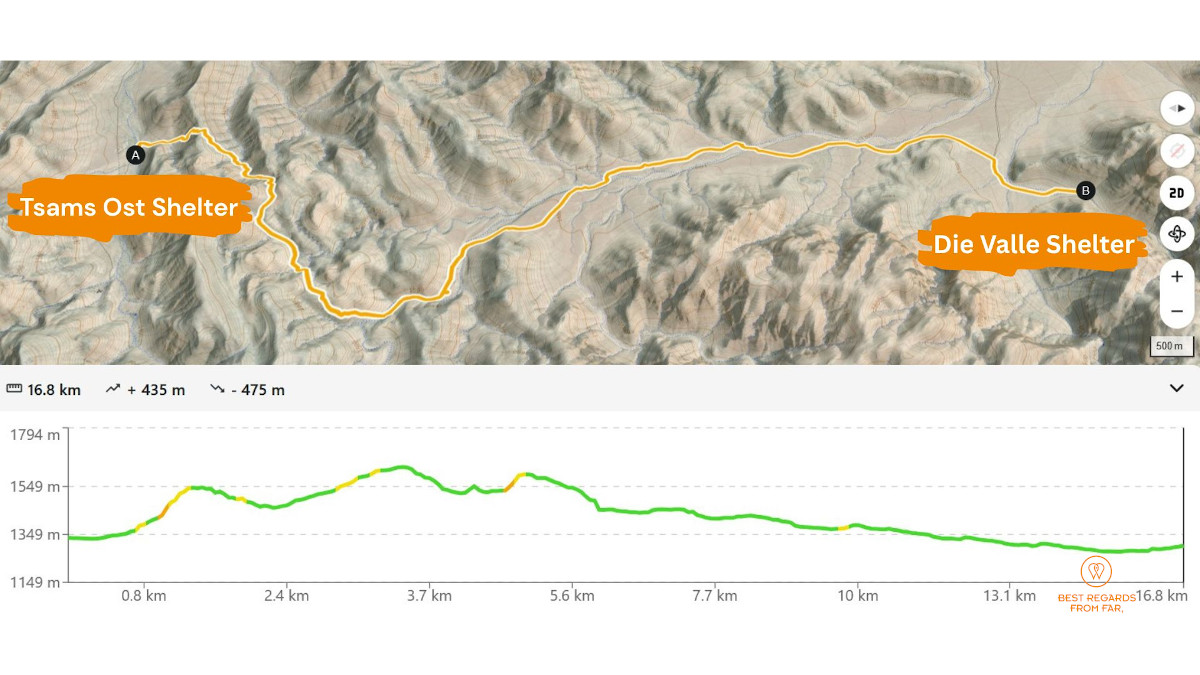
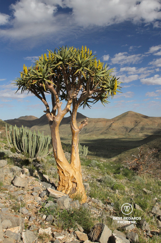
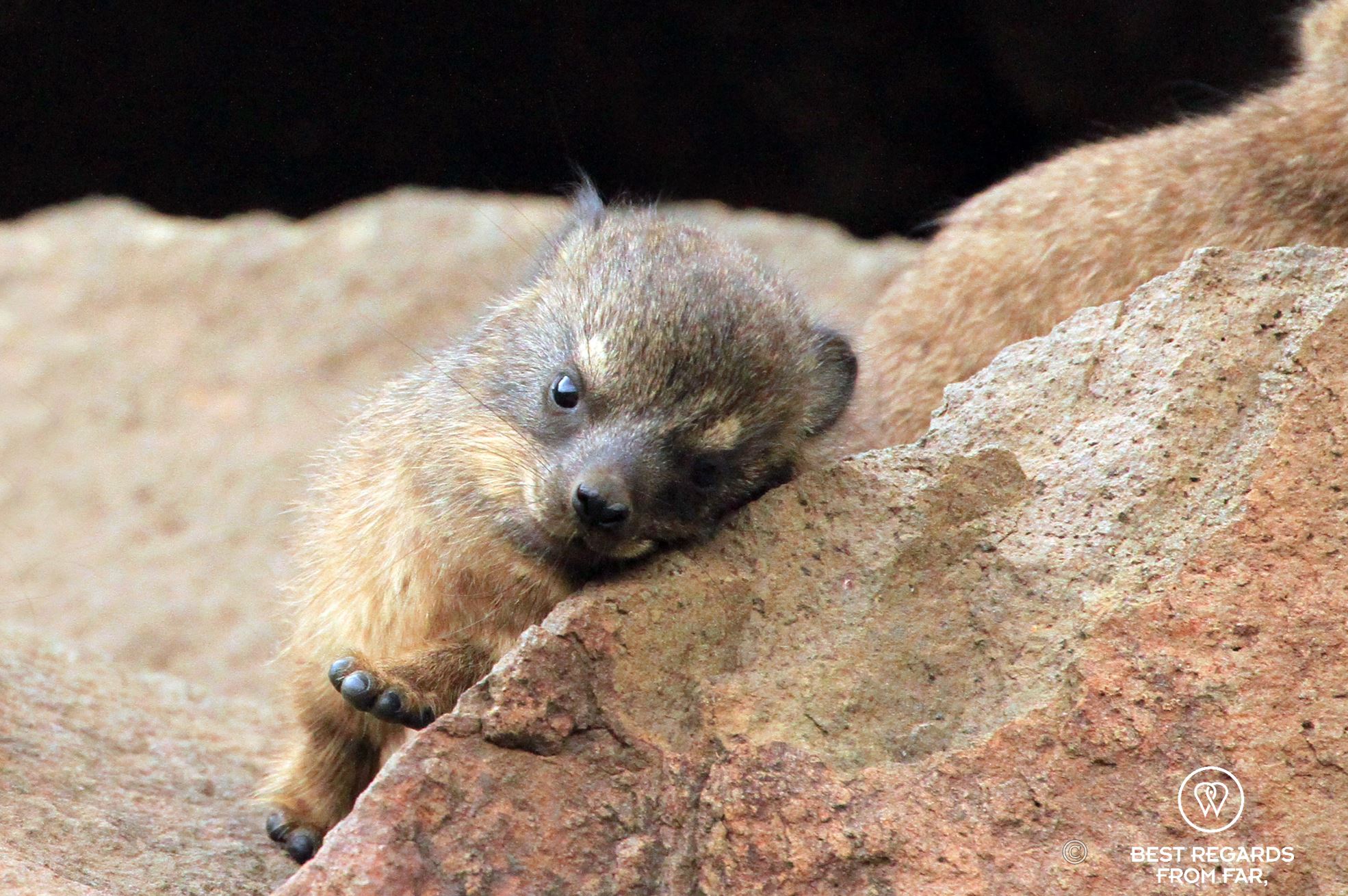
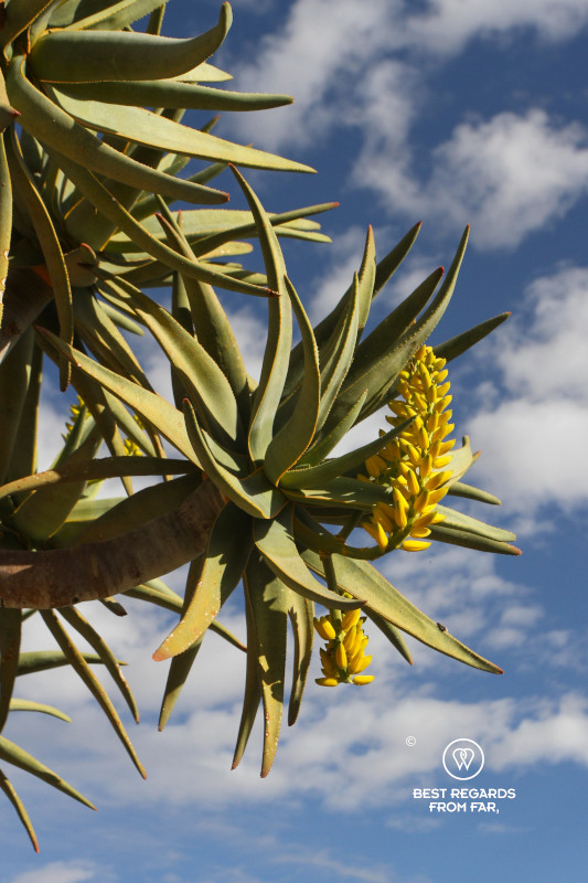
We conquer the steep slopes of Broekskeur for wide views on the Naukluft Mountains. Euphorbias and blooming quiver trees dot the ridge line. After a short flat, the uphill continues through a rocky riverbed with rolling stones. Fresh black rhino middens make us a little uneasy, particularly inside a narrow canyon with limited visibility. Some rock hyrax middens appear between the rocks. We have spotted a few, but the skittish dassies tend to run when they see us. With Verreaux’s eagles flying over, they are spooked easily as they are their preferred meal.
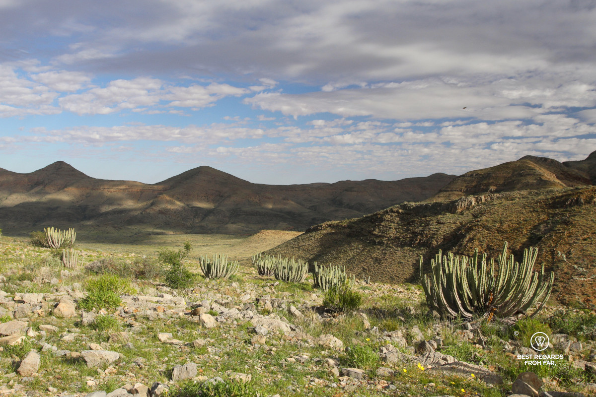
Up the dry canyon, another extensive view opens up and we start a gentle descent until we reach the open Melkbos Plains. There, zebras roam with dramatic red mountains in the background. As they hear us, they run up the mountain slope.
We are very happy to eventually arrive at Die Valle Shelter, where a roof protects us from a very short drizzle and the shower feels like a well-deserved reward. Even if the day was rather short, the accumulation starts wearing us out.
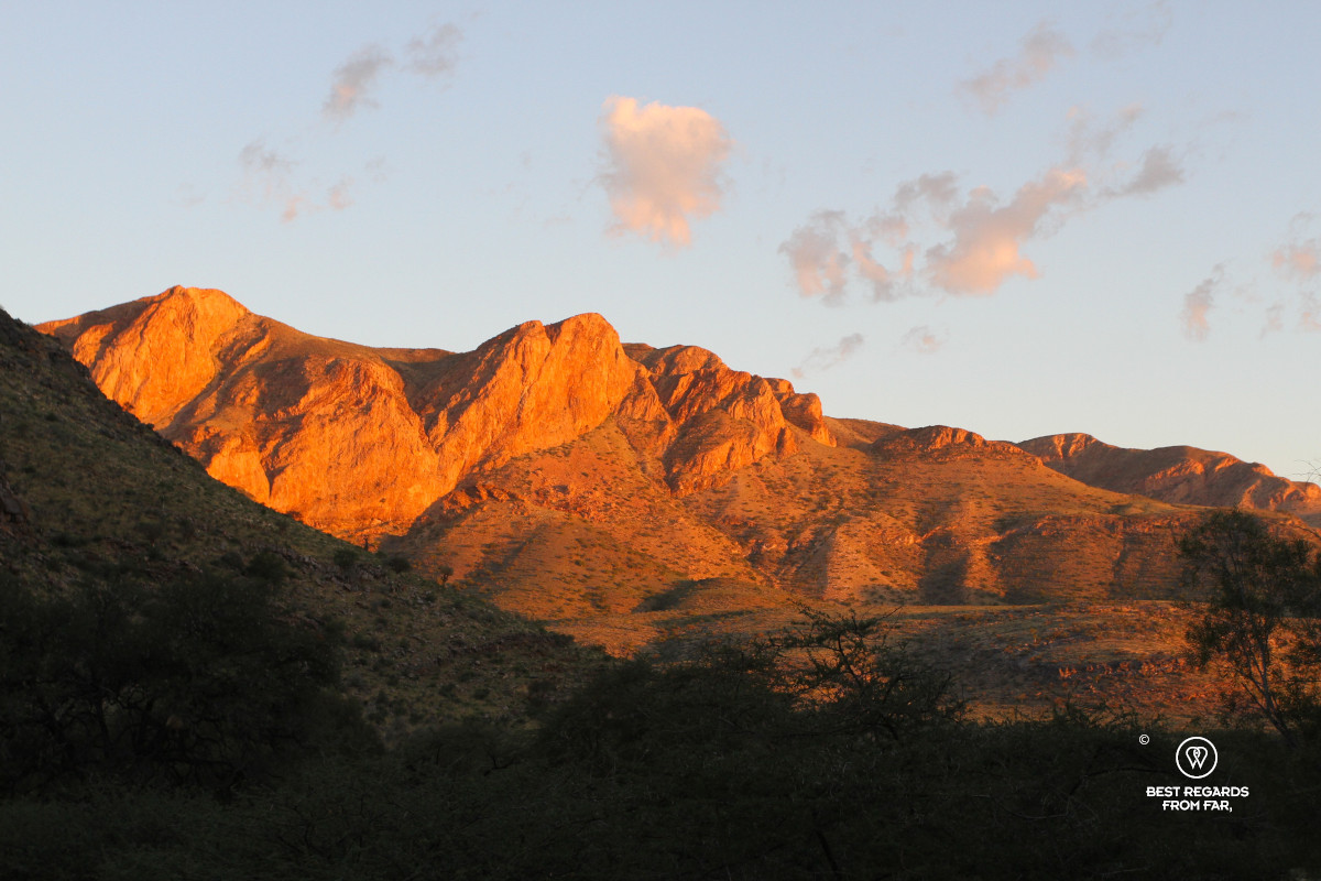
At sunset, the mountains turn even redder into a dramatic landscape painting. After dark, hyenas call, and their eerie sounds echo across the steep walls of the mountains we must climb the next morning.
Day 6: Die Valle Shelter to Tufa Shelter
16.5 km (10.2 miles) | Elevation: +562 m (+1,844 ft) | -405 m (-1,329 ft)
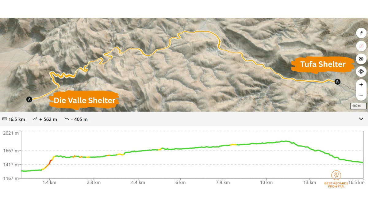
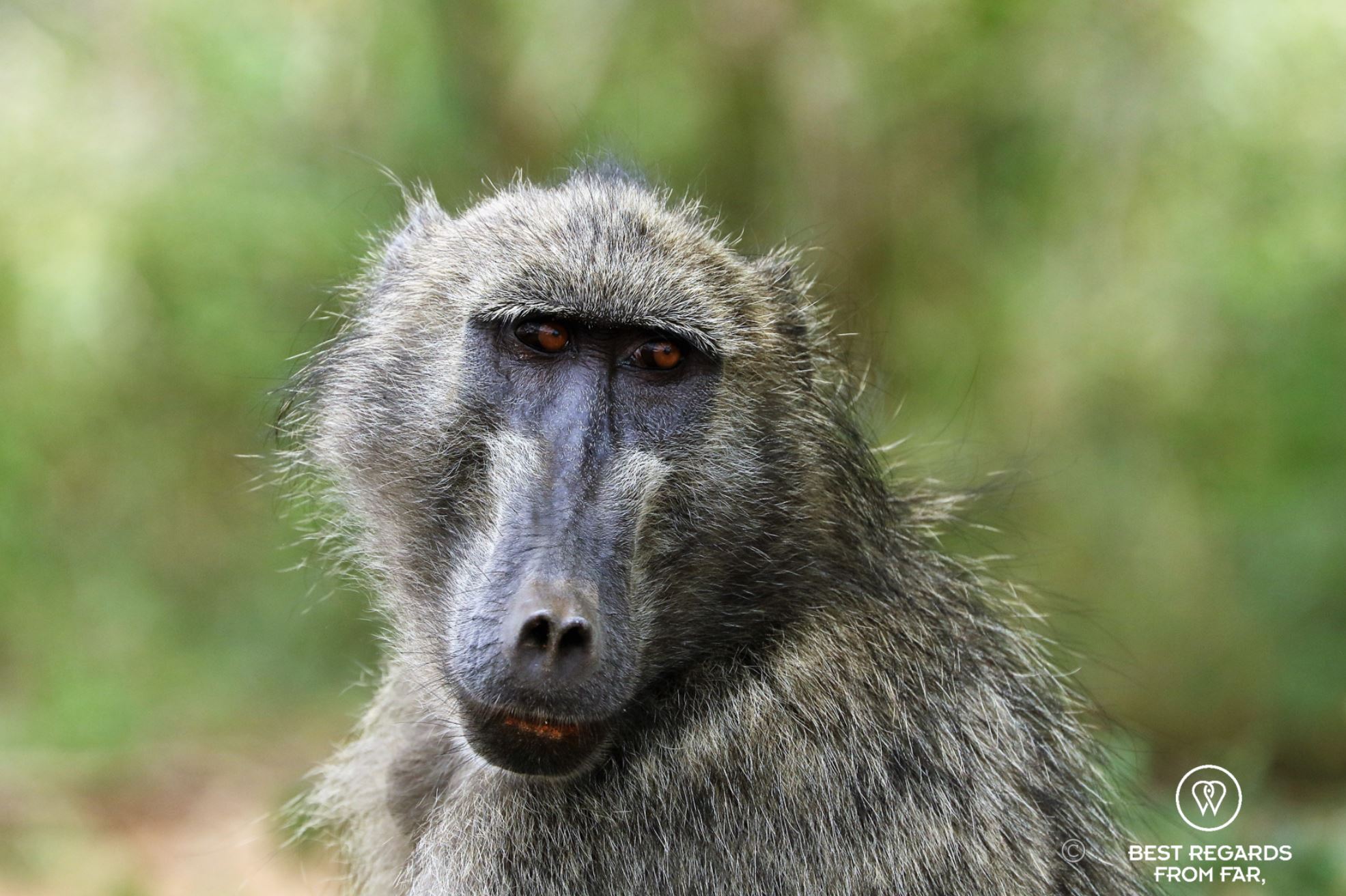
Birdsong slowly wakes us. The day starts with the brutal ascent up the 200-metre-high (656 feet) Die Valle dry waterfall. Signs of baboons are everywhere, and a solitary male leads the way. More quiver trees bloom and the views are spectacular. We reach an emerald-coloured rock pool just above the drop. Frogs squeak and swim in the pool.
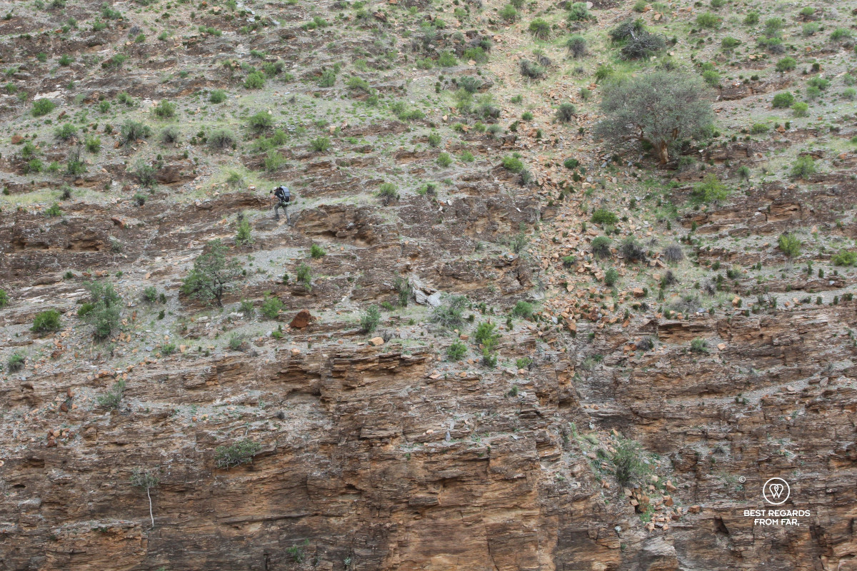
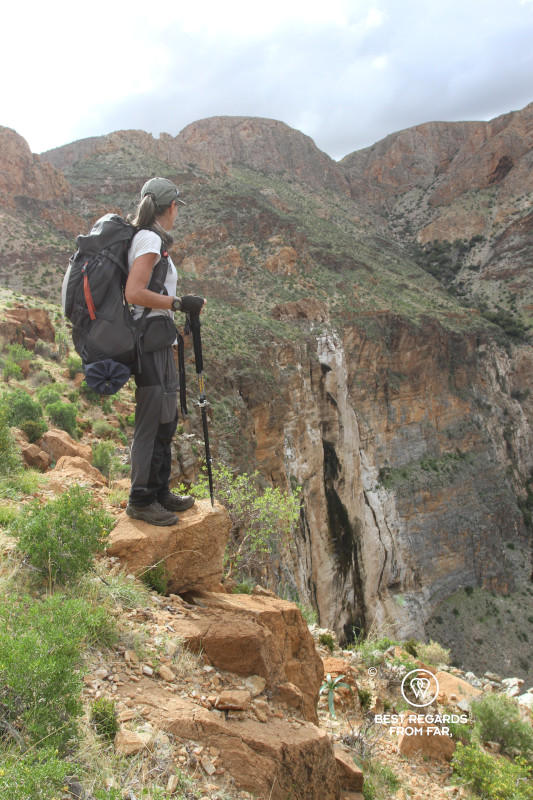
We continue up the dry canyon that at some parts contains water that make the passage challenging with our heavy packs. We hug the walls and use chains when available to keep our feet dry. Animal tracks remain plentiful. One very last murky pond inhabited by many frogs is our last chance to refill our water filters. Progressing in the dry canyon is challenging, hopping from rocks to boulders, using our trekking poles for balance and to keep the nasty buffalo thorn trees away.
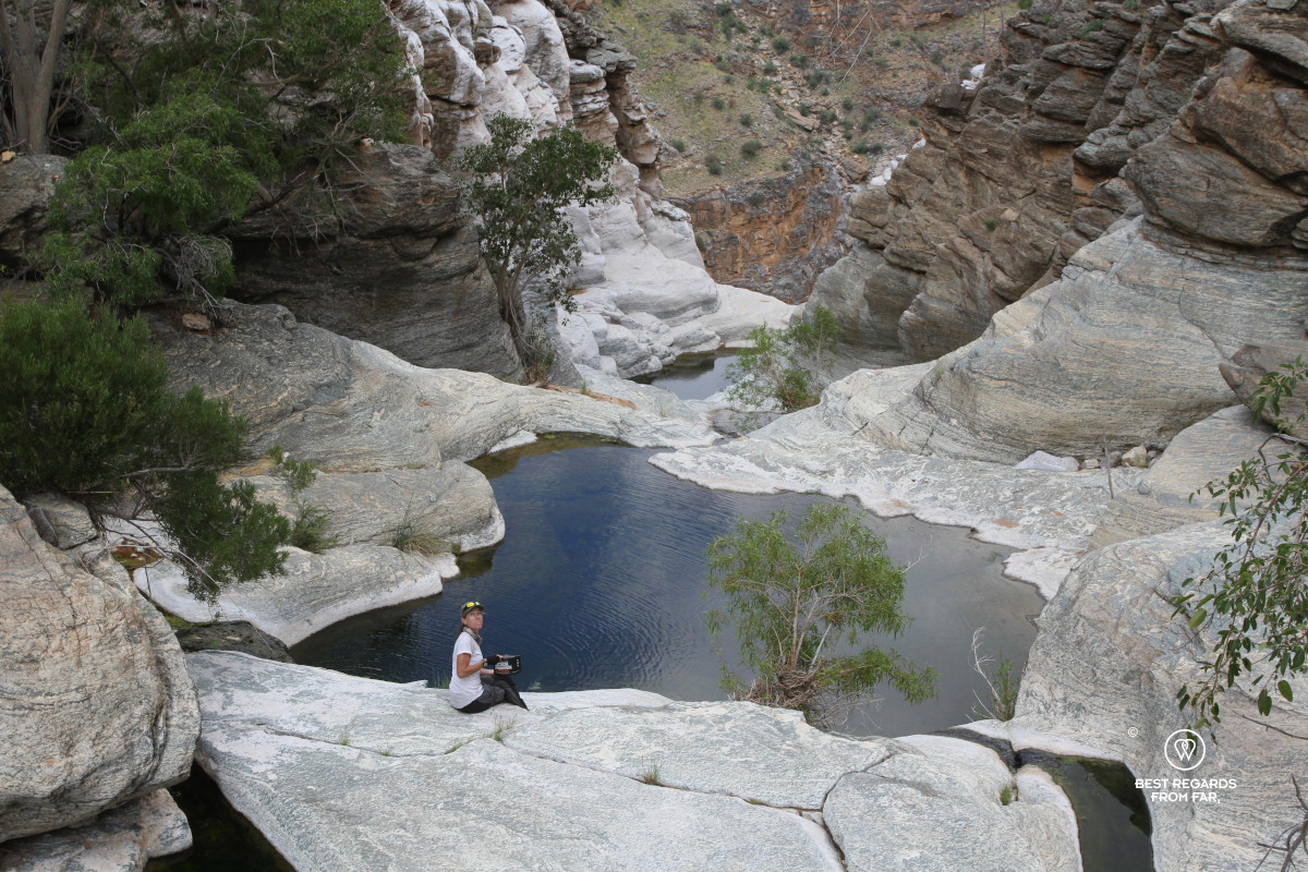
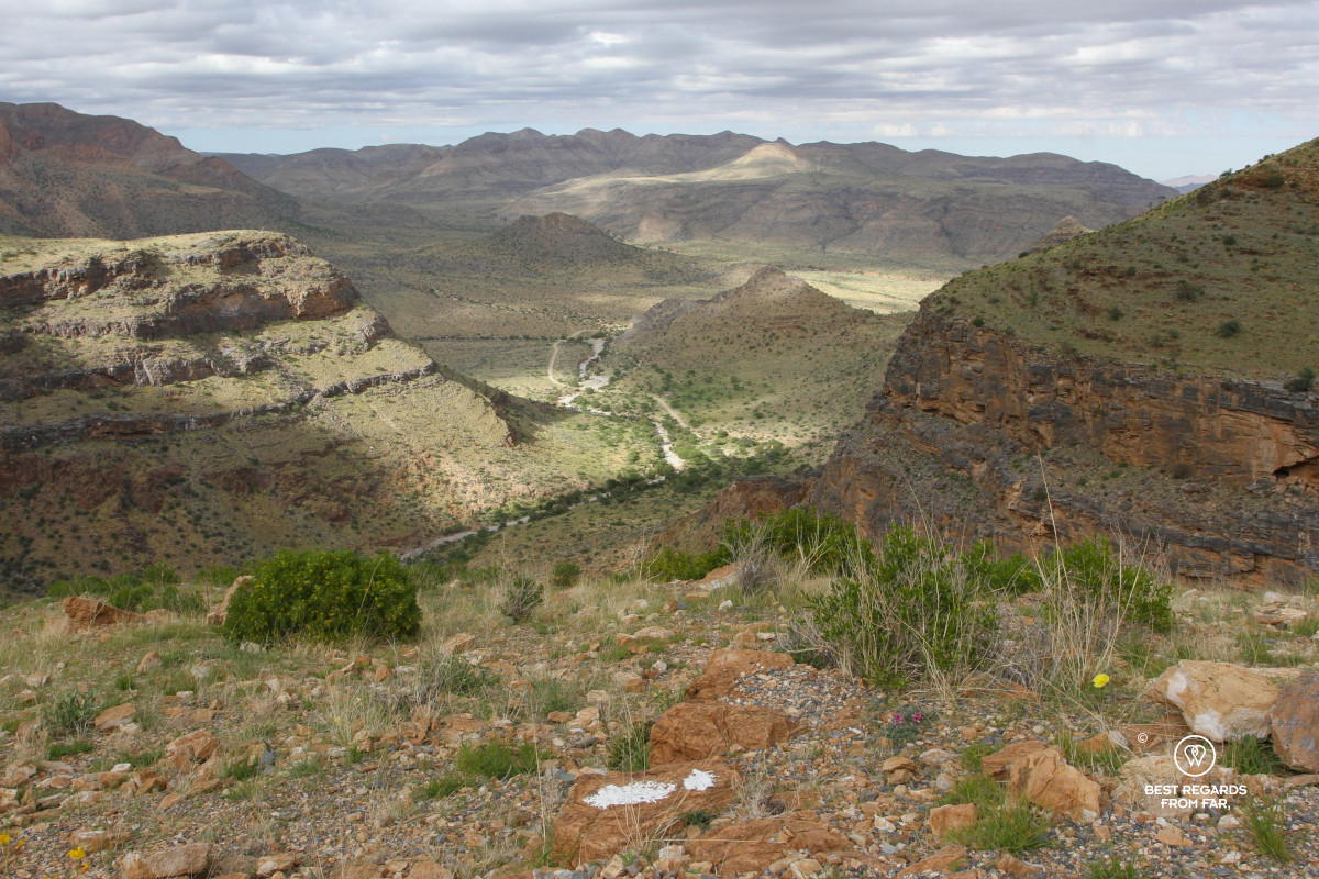
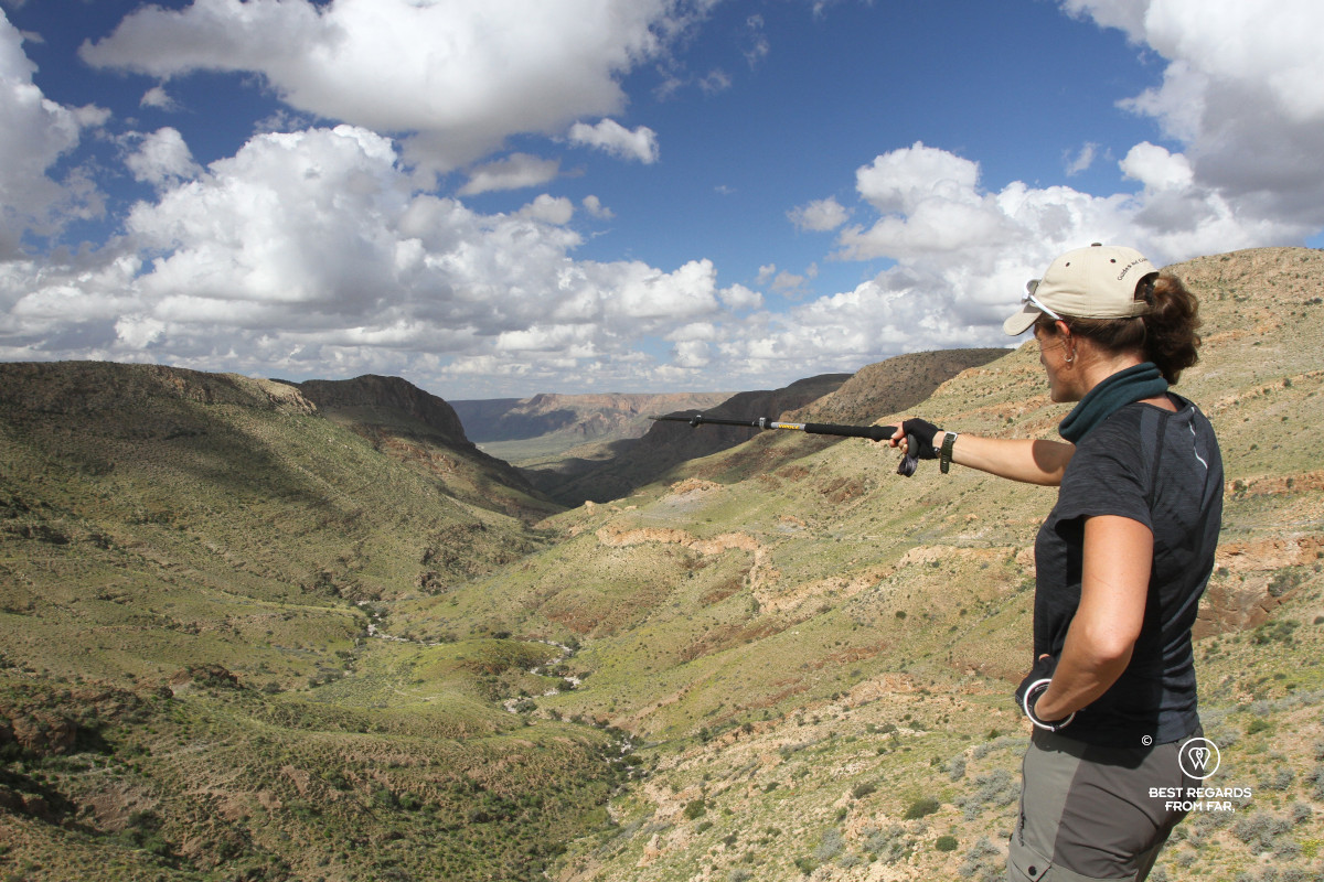
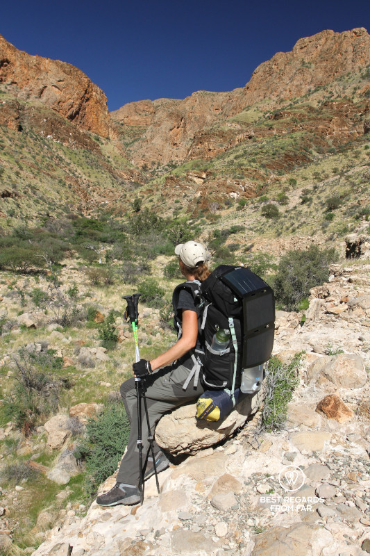
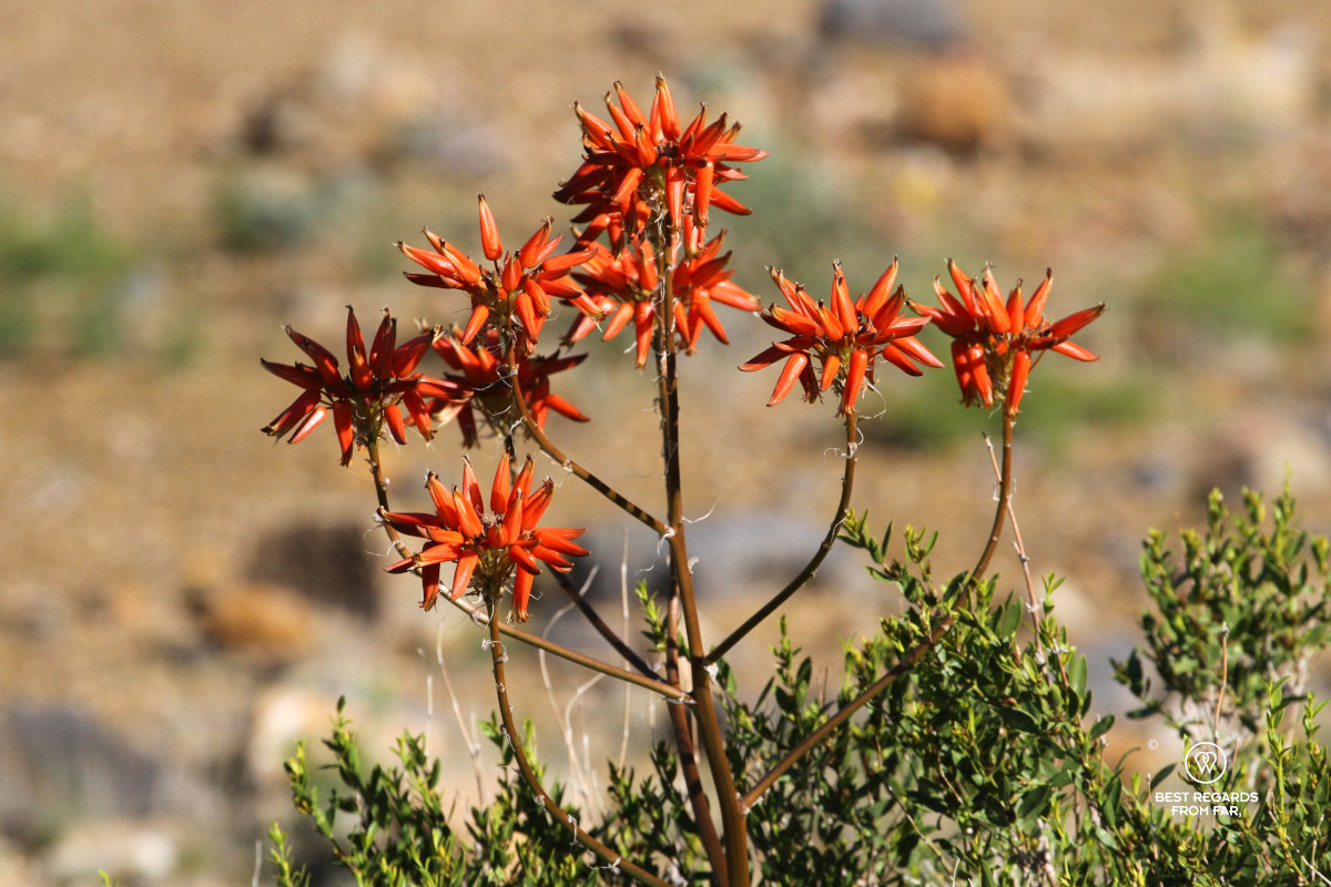
We eventually exit the canyon to cross a high plateau with a magnificent view on the next valley surrounded by red mountains. The fields are covered in bushes with yellow flowers spreading a fragrant honey scent. After six full days of hiking, we marvel at the variety of landscapes.
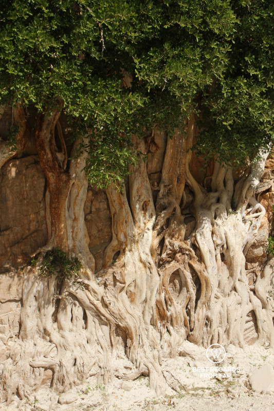
An old German cannon road provides easier walking towards Tufa. The shelter is hidden in acacia trees, with an open plain close by. No shower this time, but the water from small spring will do.
As we enjoy dinner, we hear the characteristic whistles of the pearl-spotted owlets that accompany the sound of crickets.
Day 7: Tufa Shelter to Kapokvlakte Shelter
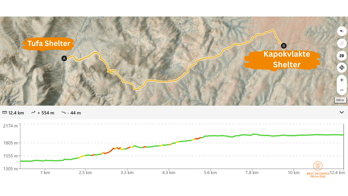
12.4 km (7.7 miles) | Elevation: +554 m (+1,817 ft) | -44 m (-144 ft)
The eagle owls remain active all night long, and their fading sounds announce the break of day.
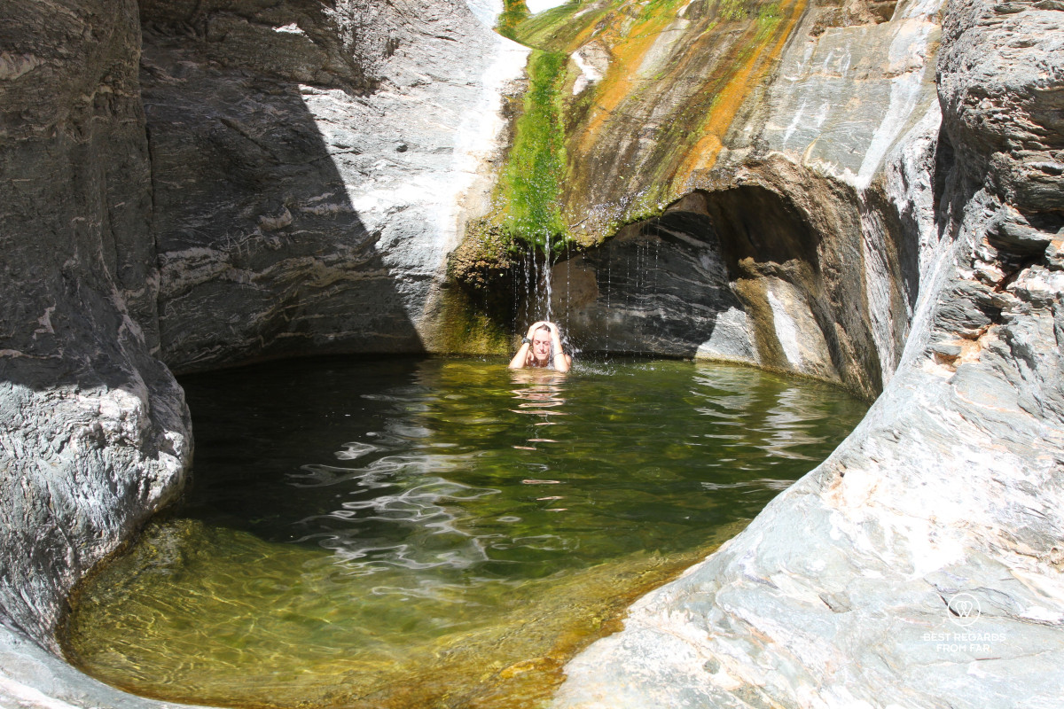
Today being a short day, we take our time in the morning, and start making our way up on the mountain in the heat of the sun. Unsure about the water situation, we carry an extra 3 litres. Thankfully, halfway up and drenched in sweat, we find a natural pool fed by a gentle waterfall to cool down in.
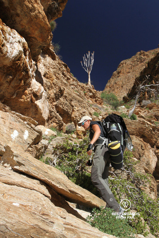
The last chain on this trek is a demanding one, going up along a shy waterfall. The wet algae-covered parts make it very slippery under our feet.
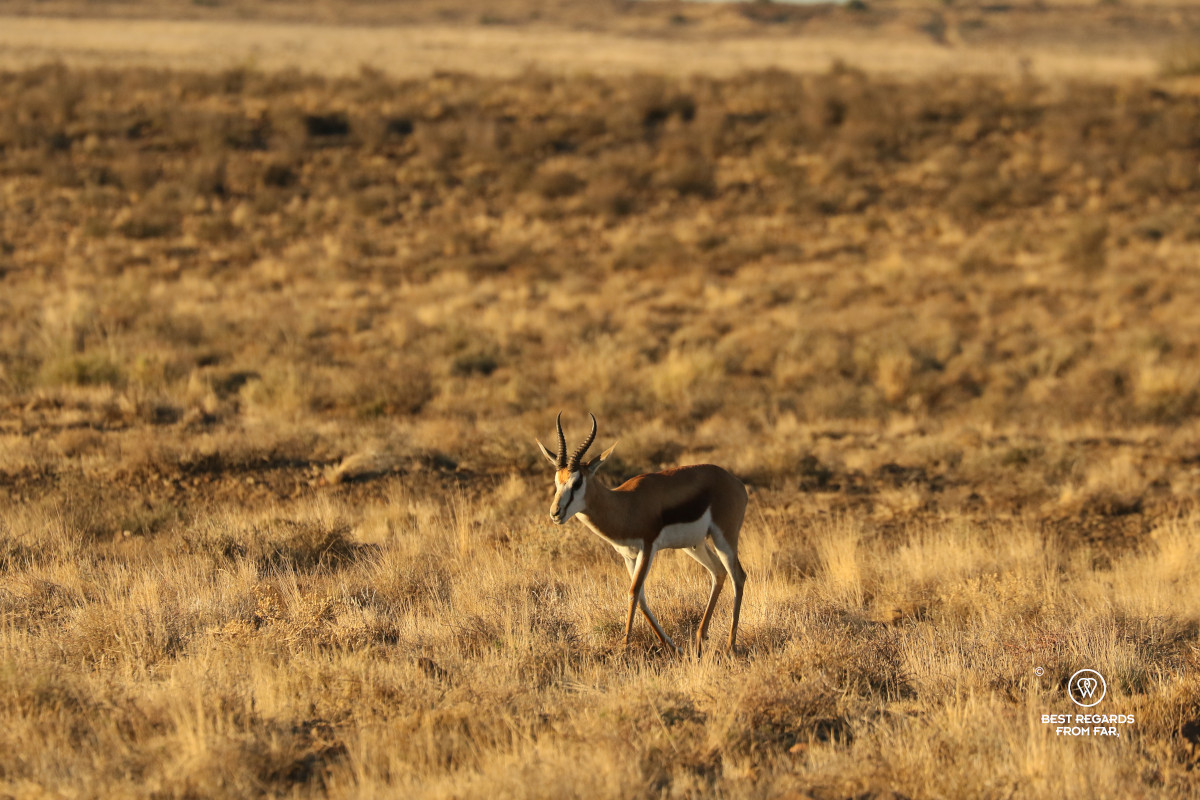
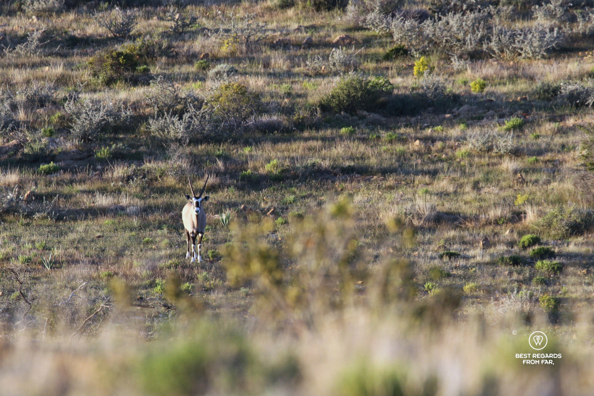
We reach Bakenkop, the trail’s highest point at 1,978 m (6,490 feet). From there, the Tsondab River Valley opens up 600 metres (1,969 feet) below our feet. We drink a protein shake while taking in the scale of the mountains before crossing Kapokvlakte among springbok, mountain zebras and oryx.
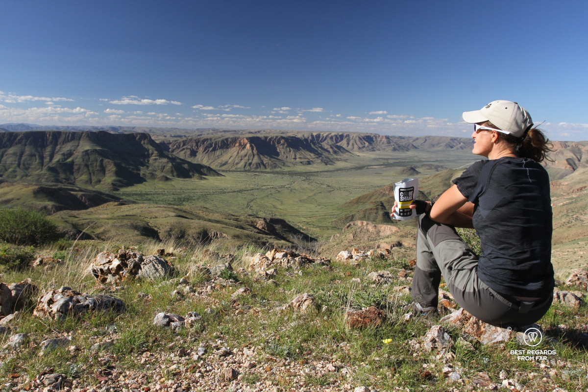
At the shelter we prepare our final Tactical Foodpack dinners. A proper bed is becoming increasingly attractive, yet neither of us is eager to leave. We eat beneath the stars, pack away the stove and sit together in silence taking in the star-lit sky.
Day 8: Kapokvlakte Shelter to Naukluft NWR Reception
15.0 km (9.3 miles) | Elevation: +70 m (+230 ft) | -564 m (-1,850 ft)
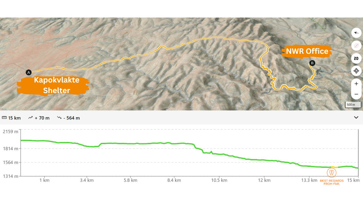
The hyenas are vocal and close by all night, and we wake before sunrise after very little sleep. We take advantage of the darkness to make progress on the plateau with our headlamps. Springboks and oryx look at us curiously.
We continue across the plateau, climb to a final high point and then drop into a dry canyon. We move over boulders until we find the first traces of water. A yellow footprint signals that we have joined a day trail and might see other hikers. Our complete isolation is coming to an end.
Four hours after leaving camp, the Namibian flag floats over the NWR office, and Ranger Lester applauds as he sees us arrive. We inform him about the water levels and conditions of the camps, and he looks puzzled when we tell him about the black rhinos. Even here, where their tracks and middens accompany hikers for days, seeing the animals is extremely rare.
***
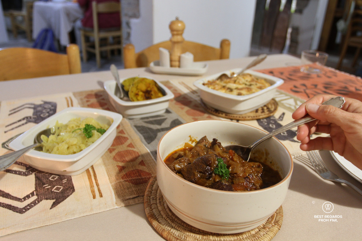
Back at Buellsport, Johanna welcomes us and we enjoy the first warm shower in eight days. Even if we really enjoyed our freeze-dried food, tonight’s homemade dinner is a treat! Beetroot soup, carrot and pineapple salad, zebra goulash with sides are a feast after a week in the outdoors.
The Naukluft trail is by far the most challenging trek we have completed on the African continent. Not because of its statistics, but because it demands complete self-reliance, without mobile coverage, rapid rescues or easy exit routes. Navigating technical terrain where water is scarce, temperatures fluctuate dramatically, dry canyons can turn into raging torrents and two of Africa’s Big Five roam freely has proven to be an exceptional experience. The sheer variety of landscapes, wide open vistas, rugged canyons, blooming trees and flowers, and crystal-clear rock pools, combined with constant signs of wildlife and the encounters we had, will be difficult to ever surpass.
Travel tips:
- Careful: This trail should not be attempted with no previous tracking experience as it is essential to understand the wildlife around and act accordingly. If you do not have any tracking experience, contract a guide.
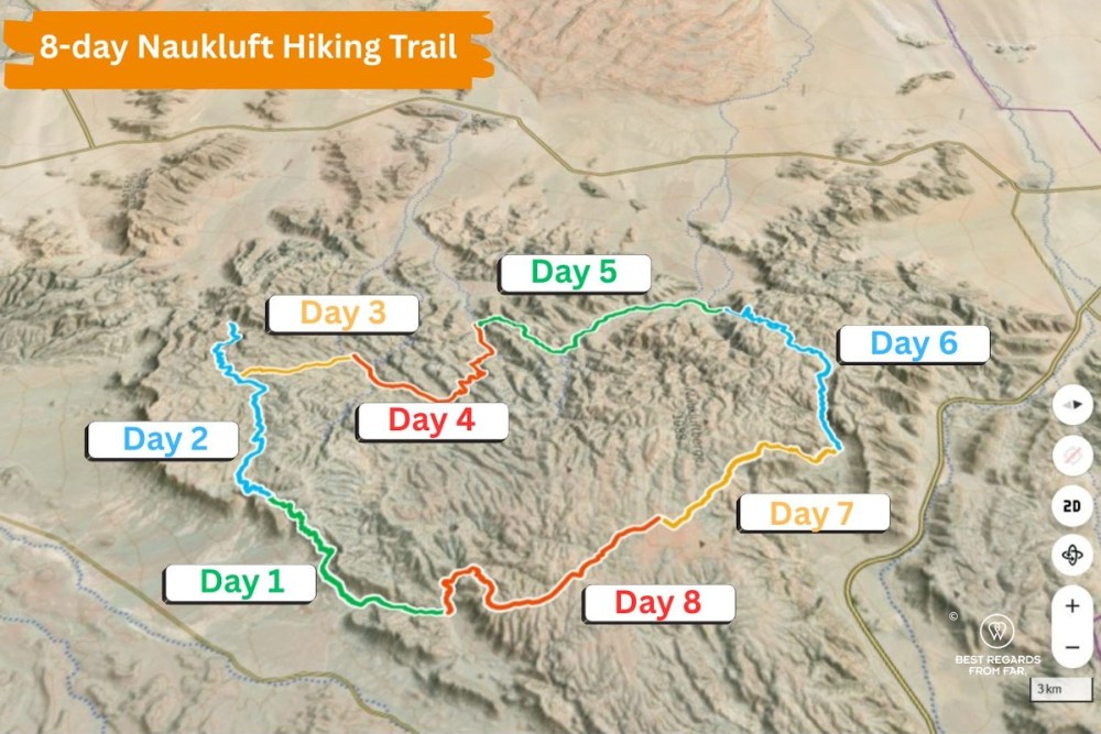
- Planning: this trek was prepared using the iphigénie web app and the elevation graphs and maps all com from this web app. During the trek, Whympr was used to navigate and track on our smartphones.
- Accommodation: To make sure you start rested, stay at BuellsPort Lodge & Farm that offer luxury rooms as well as well-maintained campsites. Make sure to book the delicious homemade dinners and breakfasts. It is best to also stay the night after the trek to repack and clean up. The farm itself offers great hiking too and horseback riding outings that are well-worth and extra night onsite.
- Power: Throughout the day we used our iPhones for navigating, tracking and taking footage, and our headlamps at night. To recharge with a good safety margin, we used Sunslice Solar Fusion Flex 18-Watt and 6-Watt solar panels and two power-banks.
- Water: A reliable water-treatment system is essential. We each used a 1-litre ÖKO filter bottle, and an extra container each, greatly reducing the amount of water we needed to carry each day.
- Food: Freeze-dried food is the way to go for this trek. When we arrived in Namibia, restrictions on animal-product imports made vegan meals the only option, so we brought our favourite Tactical Foodpack recipes.
- Gear: Hiking poles help on loose rock, boulder-filled riverbeds and through dense buffalo thorn and acacia.
- Regulations: The trail requires a permit and groups of 3 to 12 hikers. Dates, booking procedures and medical-certificate requirements should be confirmed directly with NWR, as these can change.
- Disclaimer: Locations where the rhinos were encountered have been altered.
- Check out this interactive map for the specific details to help you plan your trip and more articles (zoom out) about the area!


I think I will skip this one:)
Better indeed 😉 there’s plenty of others that are more adapted to you 🤗