Text: Claire Lessiau
Photographs: Claire Lessiau & Marcella van Alphen
We are sitting in our room, in the Scandic Ishavshotel overlooking Tromsø, nicknamed the Gate to the Arctic. Looking closely at our interactive map of our next steps, we both tick as we are checking out the North Cape area. About two months ago, we set off from Paris, France, to take our time to explore Norway to eventually reach the northernmost point on the European continent. We zoom in more. It seems clear on the map. We add a pin and check the GPS coordinates. Less than a minute of a degree, but still… The North Cape is not the North Cape!
Pin it for later!
Fast forward: after a bit more research, there are actually three points claiming to be the northernmost point on the European continent:
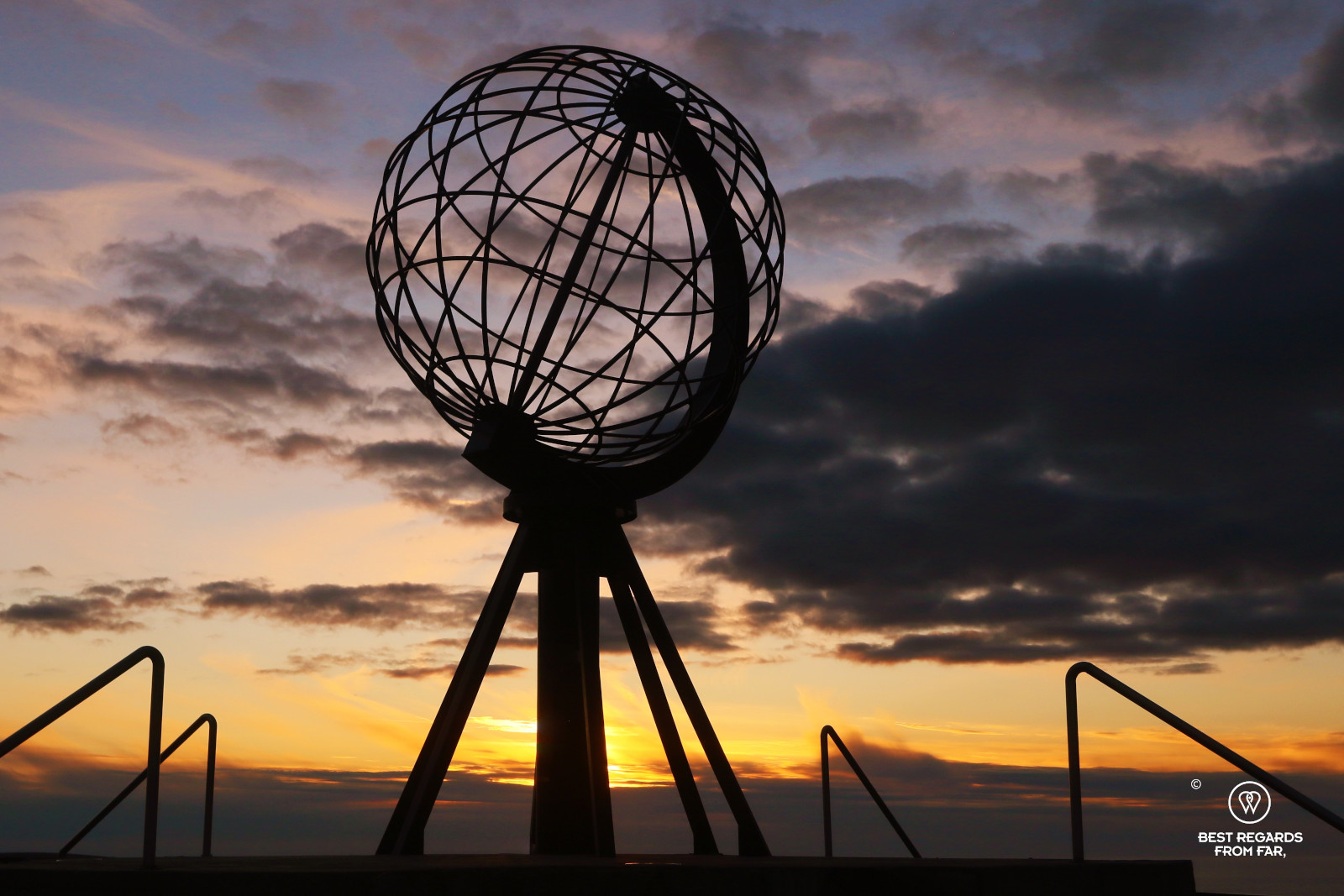
- The touristic North Cape on Magerøya Island where the visitor’s centre stands and where travellers take selfies by the iconic globe landmark and buy 71°10’21” T-shirts (scratch it: bonnets, gloves, fleeces…) in the souvenir shop by the comfortable restaurant.
- The northernmost point on the same island, at the top of a narrow peninsula reached after an 18-kilometer round trip hike.
- For the purists, the actual northernmost point on the European continent – and not on an island of that continent – that requires a demanding 50-kilometer round-trip trek to be reached: Cape Nordkinn.
The touristic North Cape (71°10’21”)
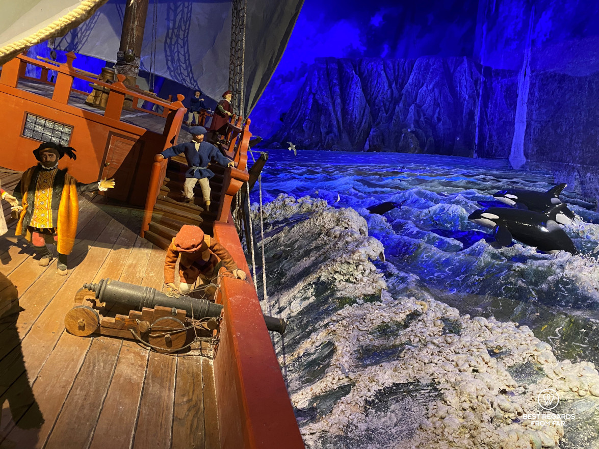
What is commonly referred to as the North Cape marks the flattest area in Norway reachable by car and as far North as possible that could host a large parking area and a sleek visitor’s centre with all required commodities for a proper revenue-generating tourist attraction. The centre is actually managed by the Scandic hotel chain. The history of the Cape since it was mapped by the English captain Richard Chancellor who was looking for a north east passage to China aboard the Edward Bonnaventure ship in 1553 is described. Many stop here only, and even more so during the midnight sun period that extends over 11 weeks from May 14 until July 29, ticking off the bucket list North Cape and visiting the extensive souvenir shop, restaurants and movie theatre. Others just wait for closing time to freely queue and take their coveted photos by the globe structure on the cliff.


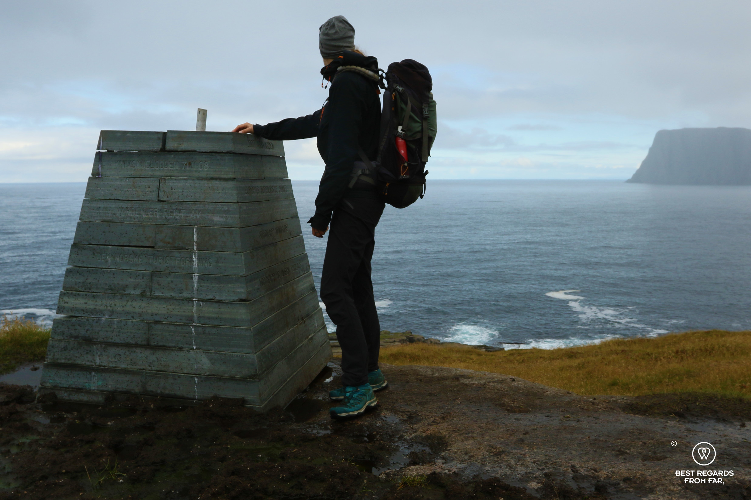
Knivskjellodden (71°11’08”)
While standing by the globe at the official North Cape, the Knivskjellodden Peninsula sticks out, slightly more North but clearly more difficult to reach. With the often-inclement weather, the rather flat hike can become quite demanding.

We planned for a few days in Honningsvåg, Magerøya’s main city, to have the luxury of picking the best day weather-wise. Emmi Kauppinen, the hotel manager at The View explains to us how people get stuck sometimes by snow storms and must sit for a week or so, waiting for it to clear. It is early September, and the first snow falls should not happen before the end of the month, so we should have some margin. “The weather is very unpredictable here!”, she tells us leading us to the warm sauna as we are trying to trap as much heat as we can before venturing out.

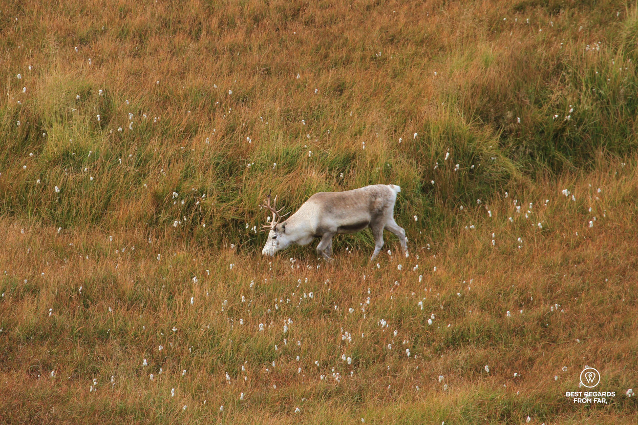
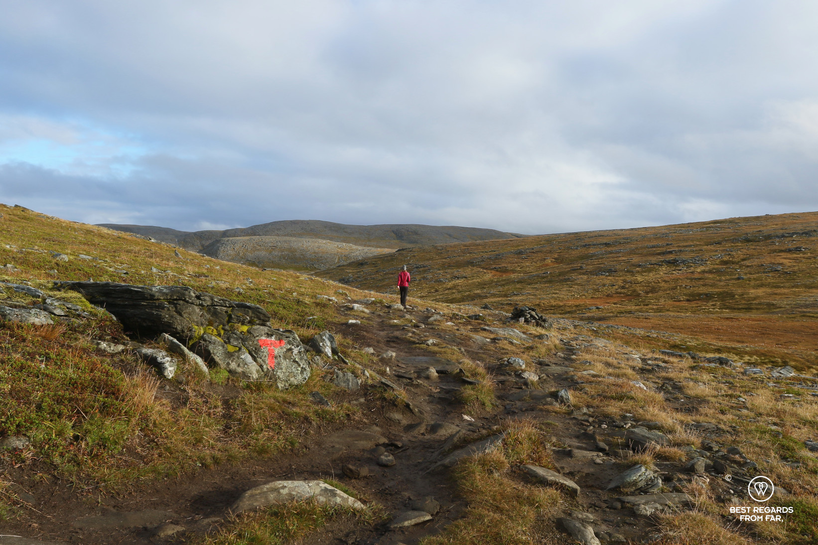

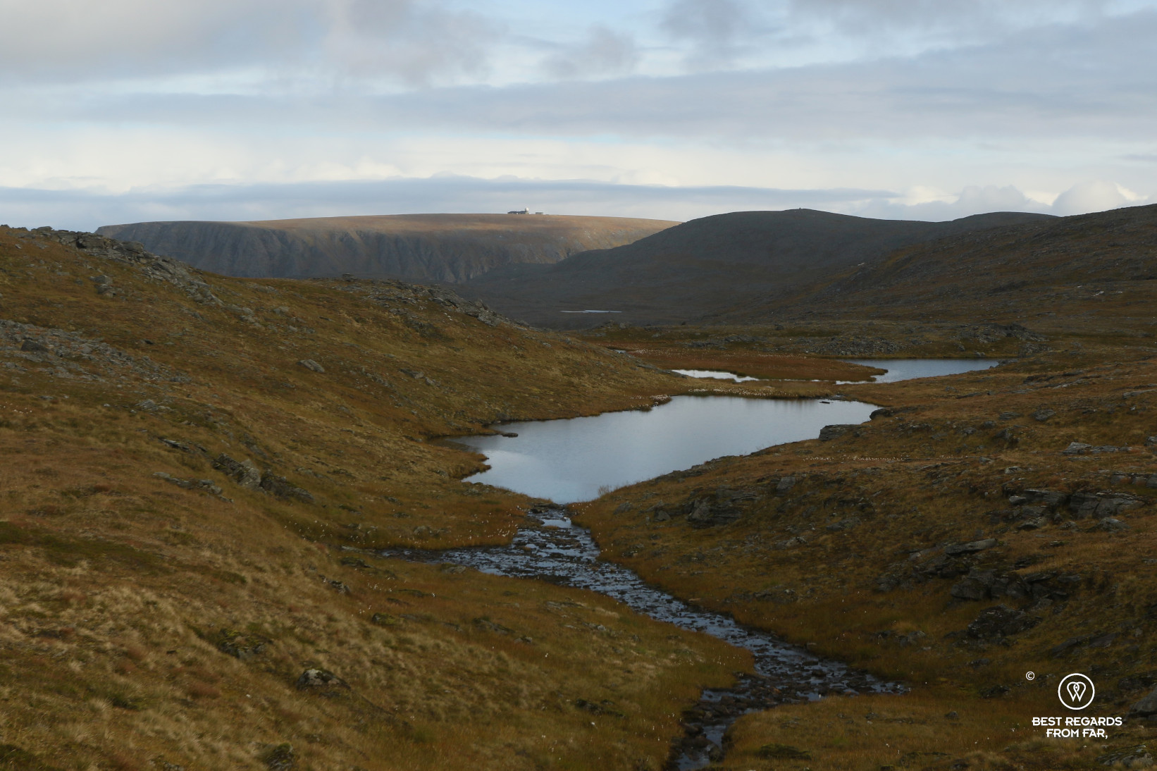
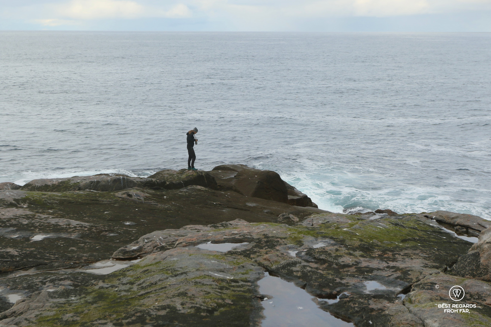
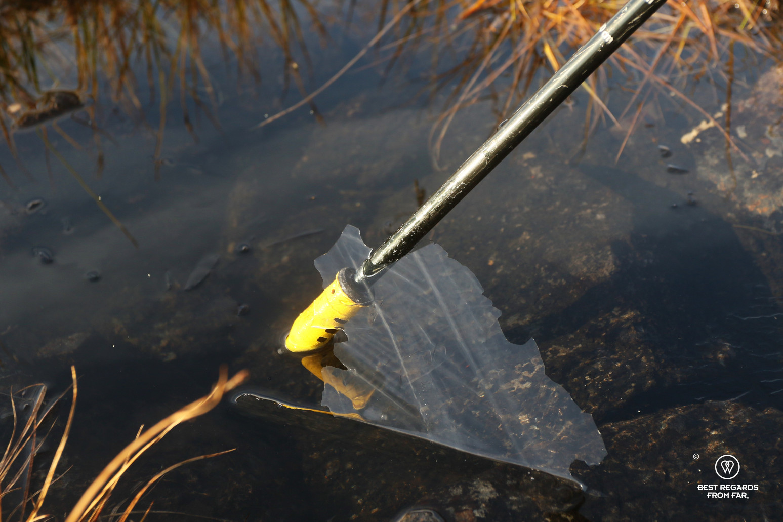
Emmi was so right! We picked the sunny day, by all weather reports. Driving off on the road through treeless landscapes where only a few reindeers roam, we park at the start of the hike. The sun spells encourage us as we gear up, and head out following the red T’s marking the muddy path amidst a marshy ecosystem. Water is never a problem here, and if it is considered safe to drink, we filter some to refill our bottles before the last stretch. The last two kilometres, we walk along the peninsula on large inclined slabs that would be quite challenging to cross if wet. We eventually reach the end point, or at least, the coordinate marker and the log book. There is still some land further, so we carefully evolve on the slippery rocks covered in brown algae and wetted by the waves crashing forcefully at their feet. We cannot go any further, and we look East to see the cliff of the official North Cape and guess the globe and visitor’s centre. Looking South, the sky is dark and Emmi was right: clouds are packing fast! The weather is changing and the first drops of rain start to fall as we were ready to warm up some lunch. Thinking back of the tricky rock slabs, we decide against it and head back. The typical Norwegian sunny day unfolds: rain, dark clouds and very few sun spells lit our way back.
Satisfied to have gone beyond the masses, we are also starting to be a bit concerned knowing what the next northernmost point to reach represents…


The northernmost point of continental Europe: Cape Nordkinn (71°08’01”)
Technically speaking, the North Cape and Knivskjellodden are both located on an island, named Magerøya, that was linked to the continent by a 6-kilometer-long tunnel only in 1999. According to the loose definition of continent by Norwegians, as long as it can be reached by land vehicle, it is part of continental Norway. But for purists, an island does not qualify, otherwise the Norwegian island of Svalbard (previously referred to as Spitsbergen), about a thousand kilometres north of the North Cape would then be the Holy Grail. If we stick to the European continent, then Cape Nordkinn is the point to be reached, and this is a whole different story!
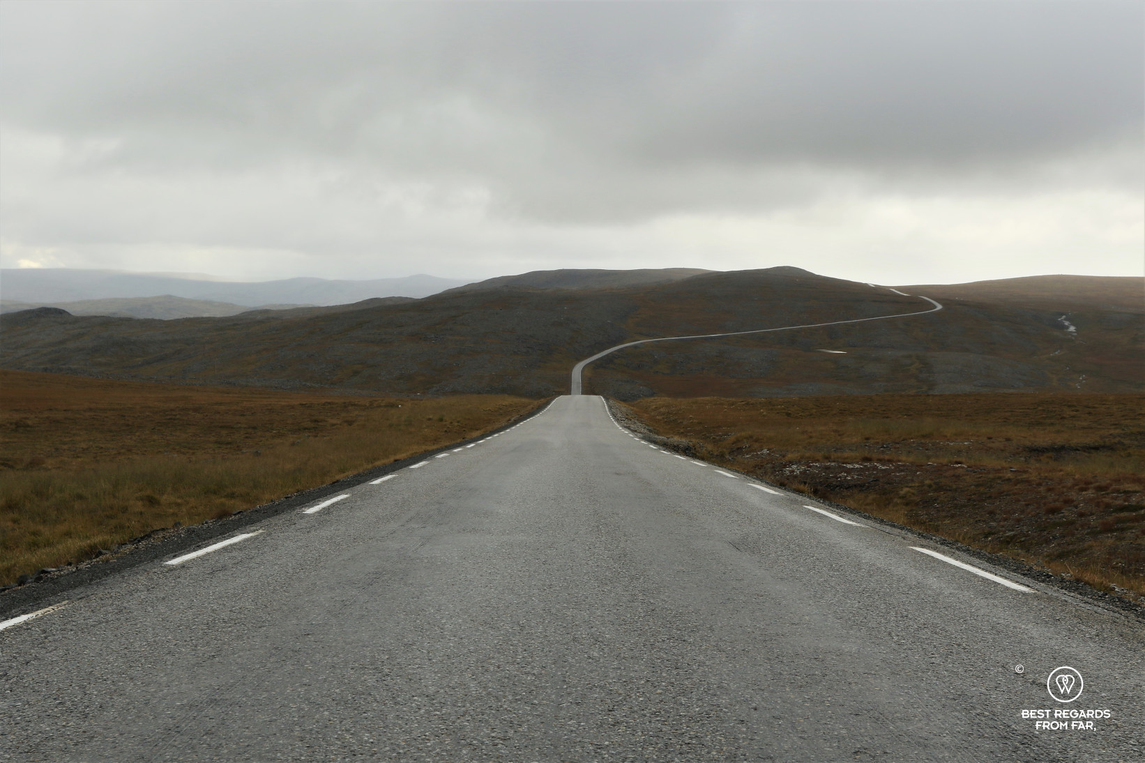
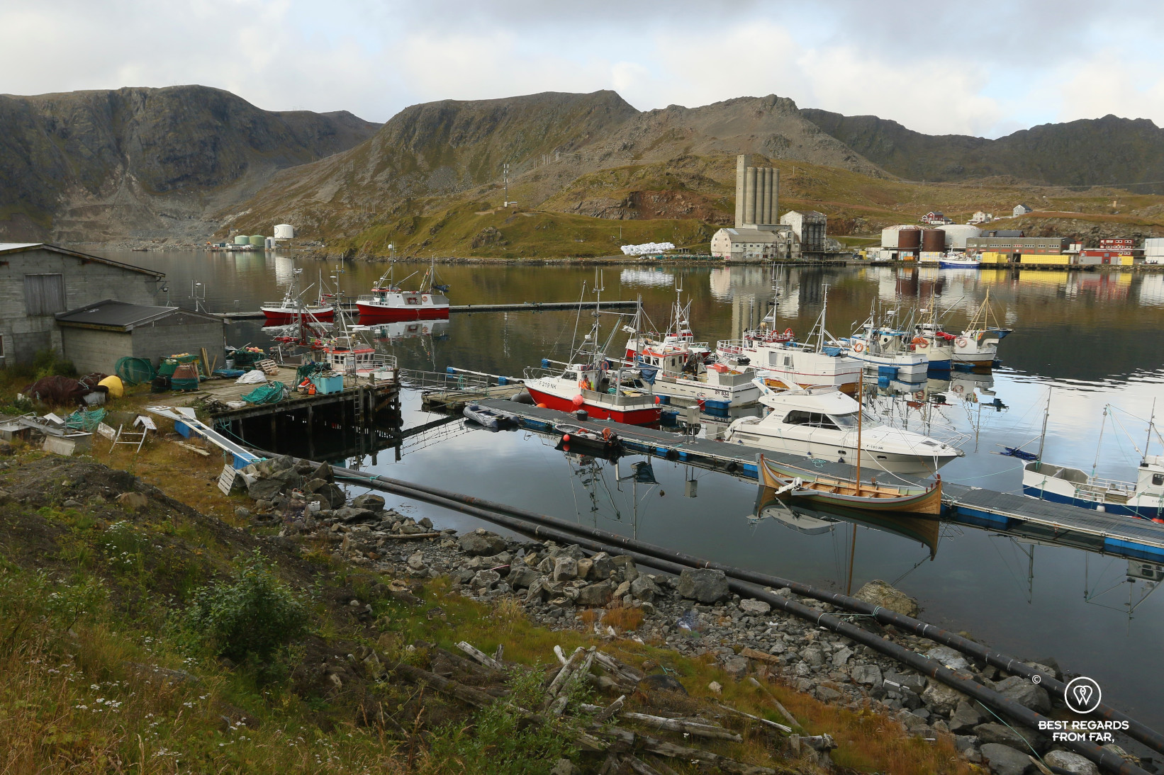
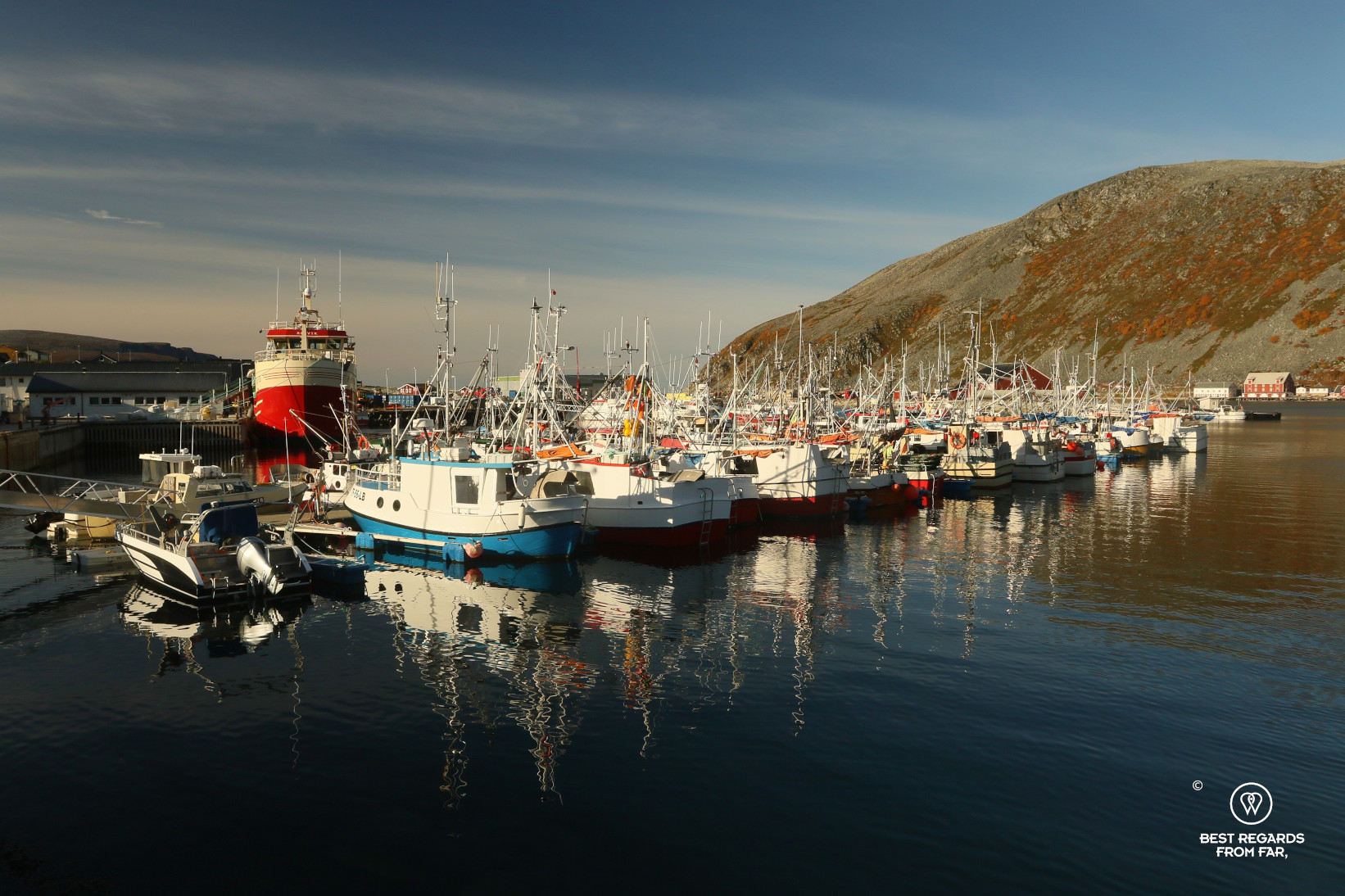
Only 70 kilometres away, but a long five-hour drive from Honningsvåg, going around water inlets, passing by herds of reindeer and stunning desolated landscapes, we eventually reach the small and authentic village of Kjøllefjord, far from the touristy North Cape area. From there, we have to prepare a more demanding trek requiring an overnighter in the arctic tundra, on the edge of the winter…


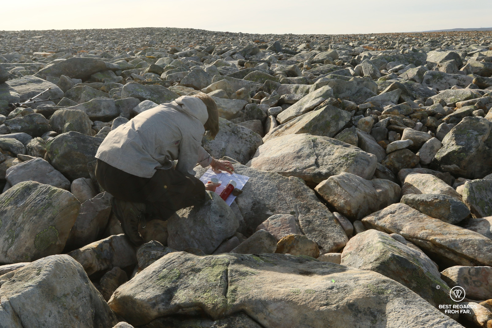
With a night out, the weather is even more critical than for the much shorter Knivskjellodden hike. Luckily, several days of sun are forecasted. Jan Olav Ernesen, the owner of Hotel Nordkyn, born and raised in Knøllefjord is confident. “It may be a bit windy”, he whispers while giving us a paper map of the hike he dug up at his place: not too many attempt this challenging trek. On the back side of the map, there is a list of GPS coordinates that we do not quite understand yet.
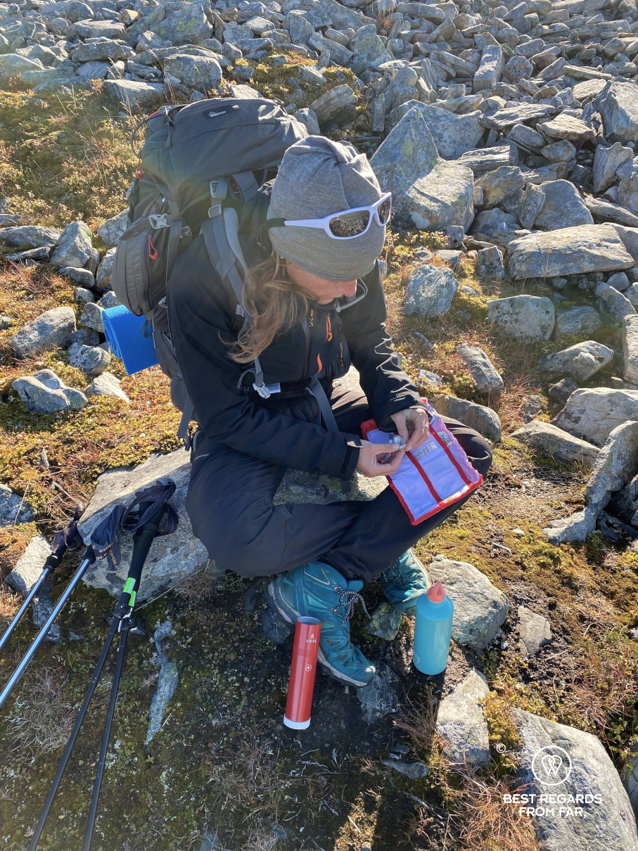
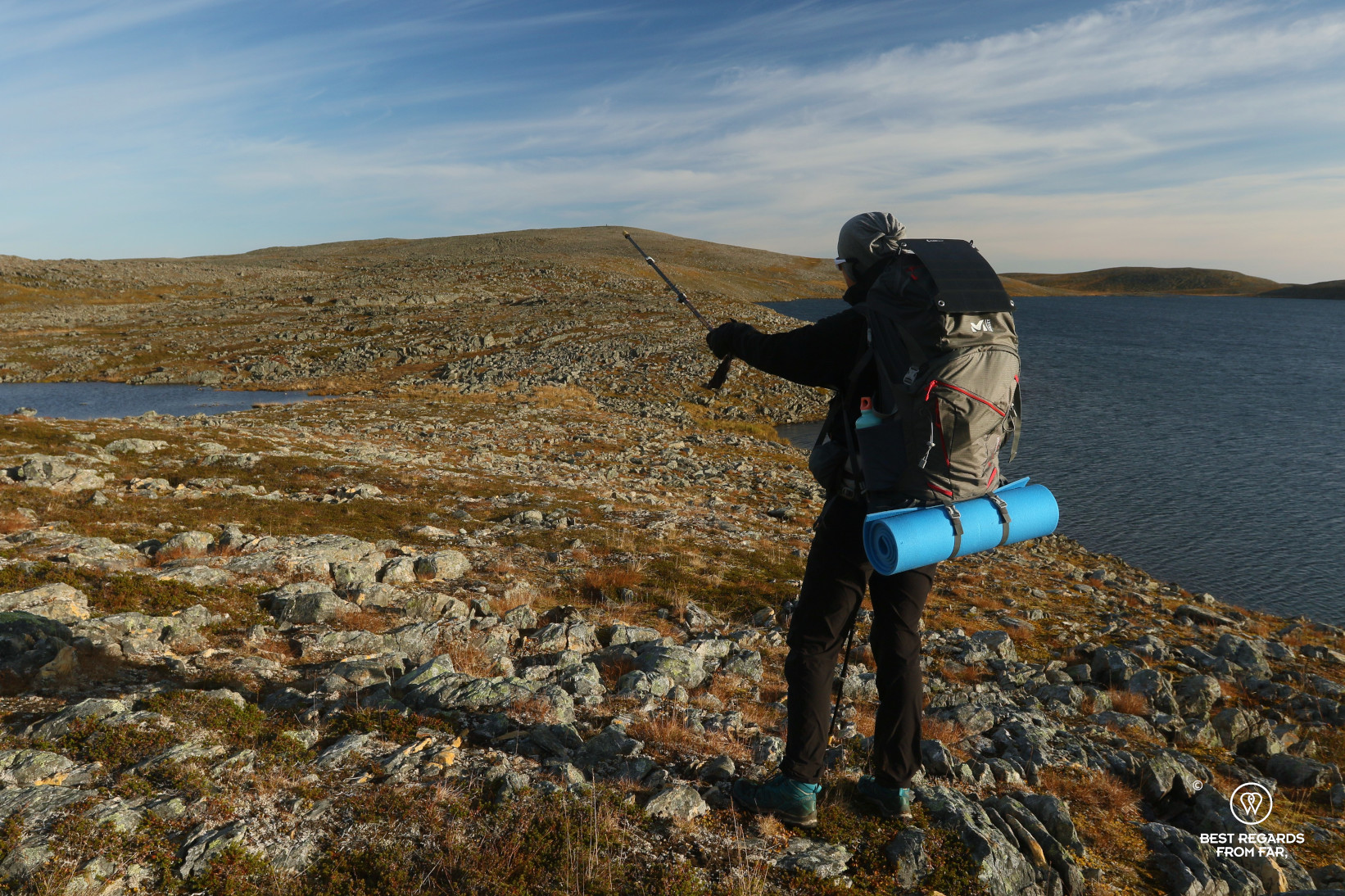
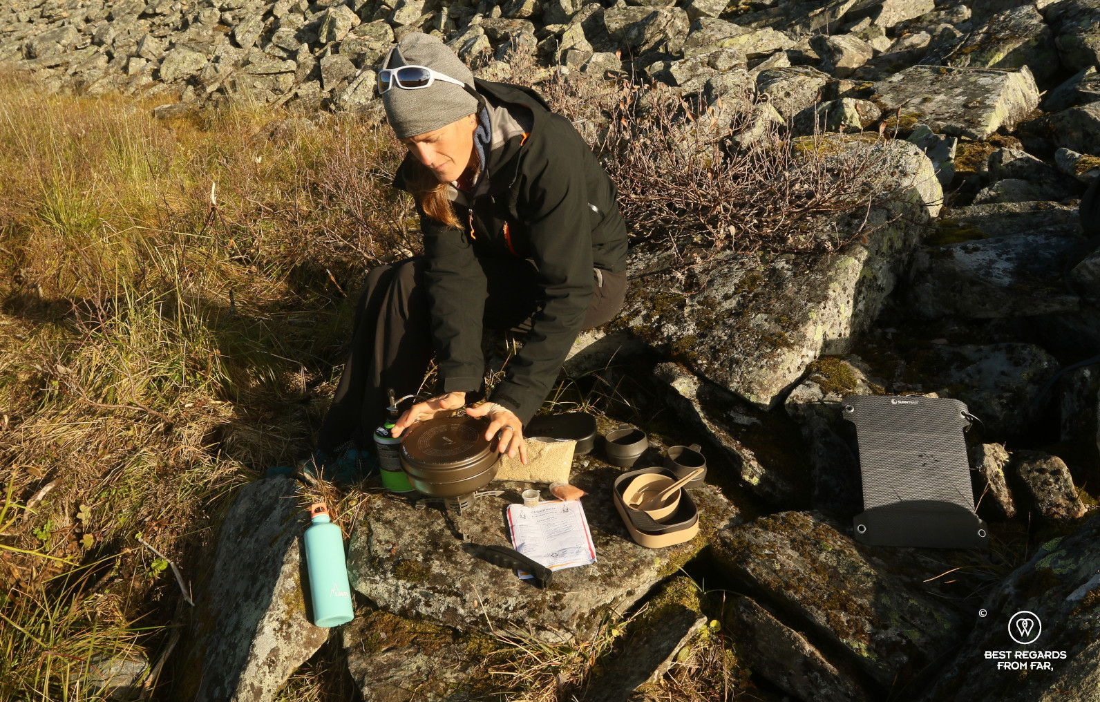
For now, our main concerns are calories: how to conserve them, especially at night and to intake enough during these two days to face the cold and sustain the physical efforts. The weather forecasts a mere one degree Celsius at night. Our Fjällräven wind-proof 4-season tent seems ideal for the occasion, as well as our Patizon sleeping bags announcing a comfort temperature of -1 degree Celsius.
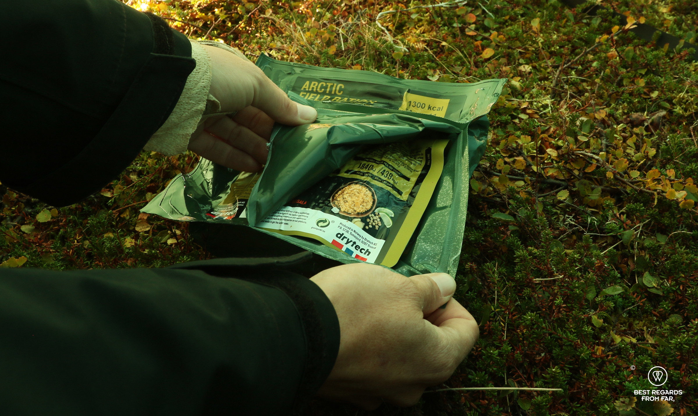
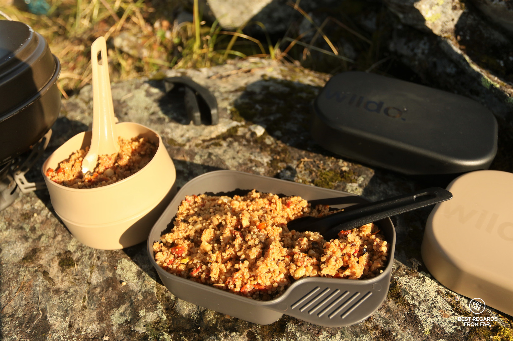
As for the food, this seems to be the place to try out the Arctic Field Rations by the Norwegian outdoor brand REAL. One each should allow us to snack during the day and enjoy a hearty and warm dinner. The excellent Tactical Foodpack red berry breakfasts will get us started in the morning, and the Globetrotter Peruvian chicken with its spices should warm us up if we have time to stop for a lunch break. As for dinner on day 2, no need to carry it: the pub of Hotel Nordkyn will be the perfect place to cheer to our achievement! Some yummy and insect-based Jimini’s energy bars are also thrown in the backpacks for good measure.

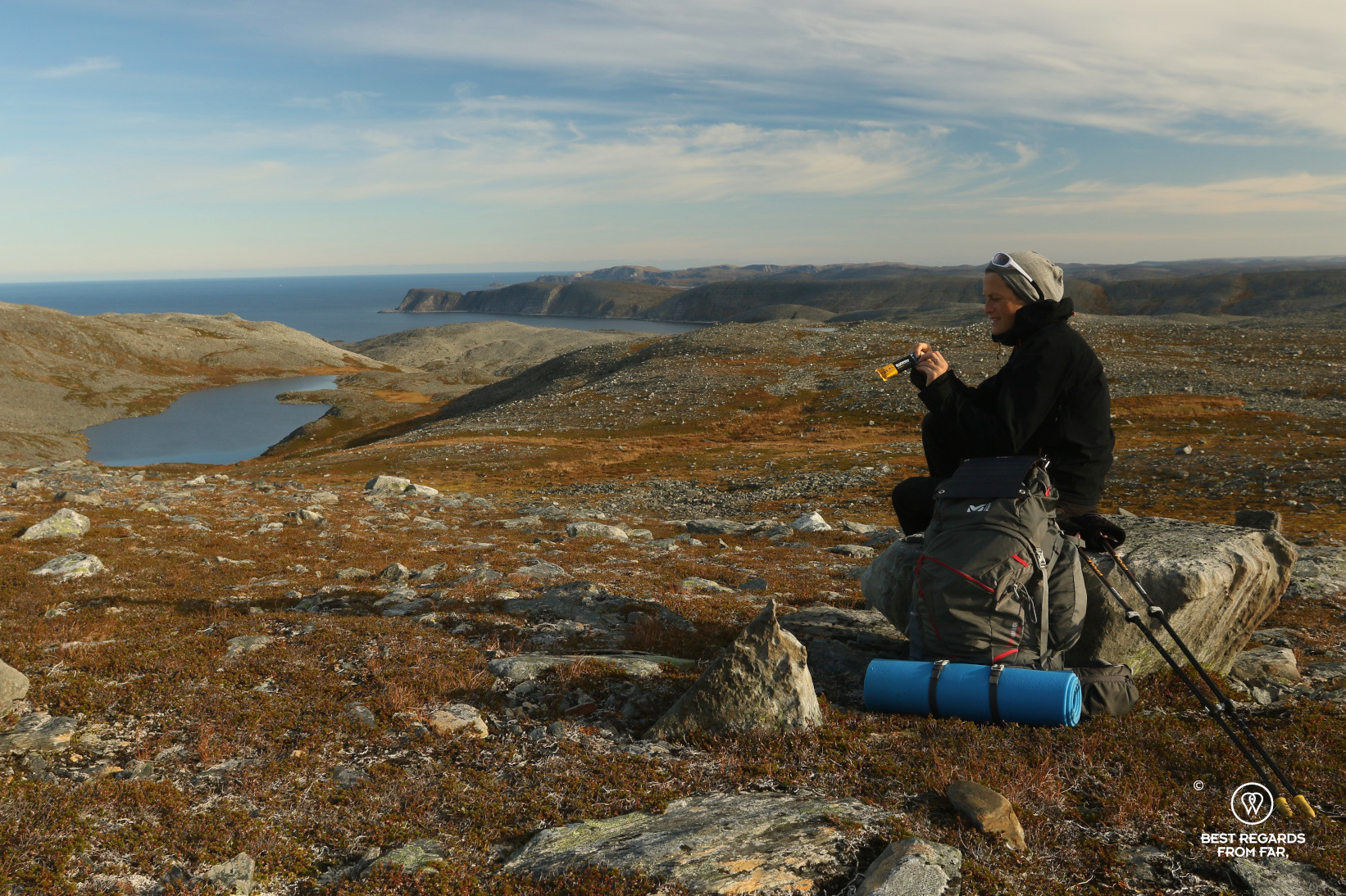
As for navigating, our iPhone batteries will drain fast in the cold, so our SunnyBag solar panel is firmly attached to one of the backpacks to also provide some calories to our electronics!
D-day. After a solid breakfast at Hotel Nordkyn, Jan Olav wishes us luck, and off we go.
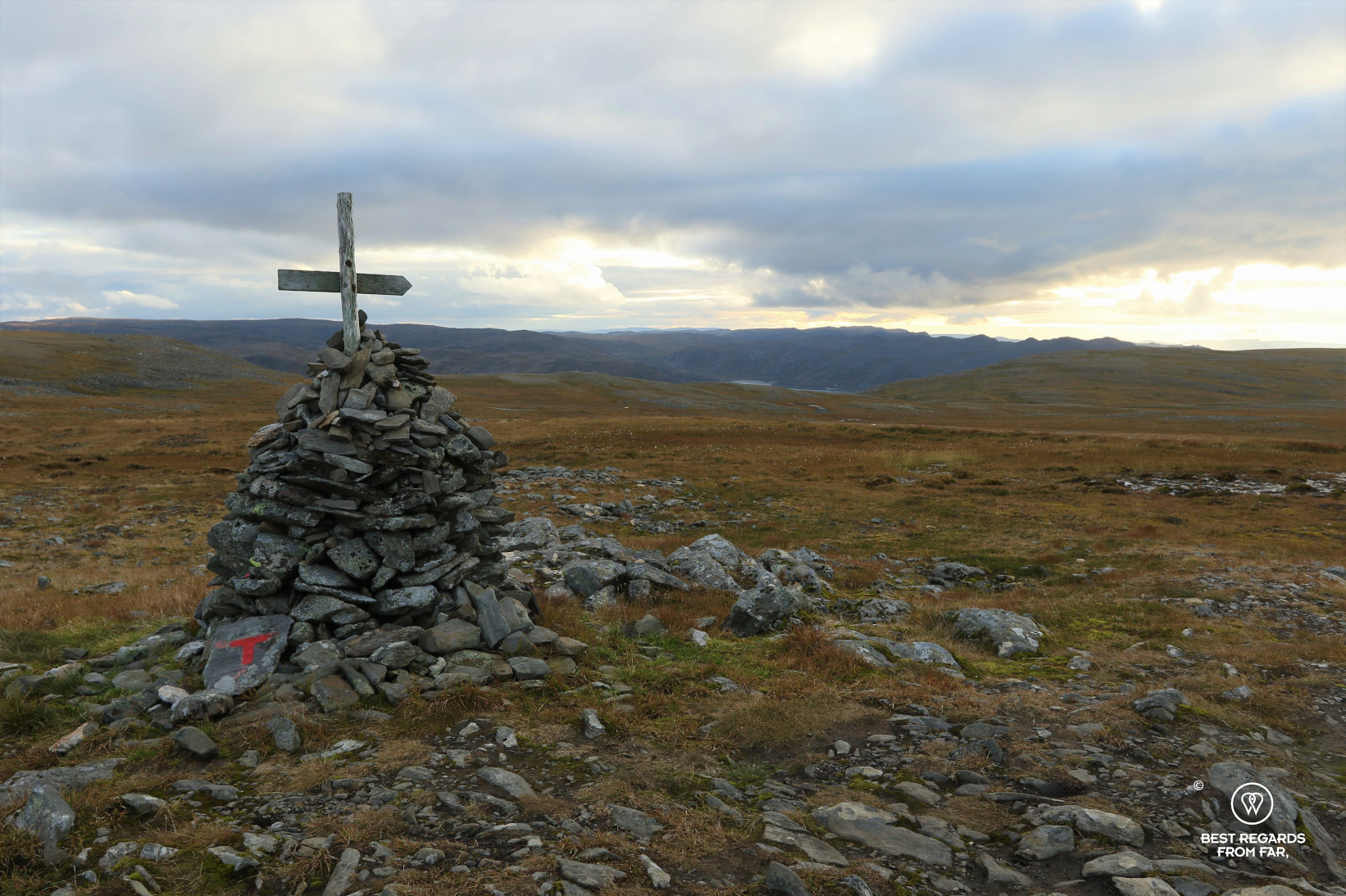
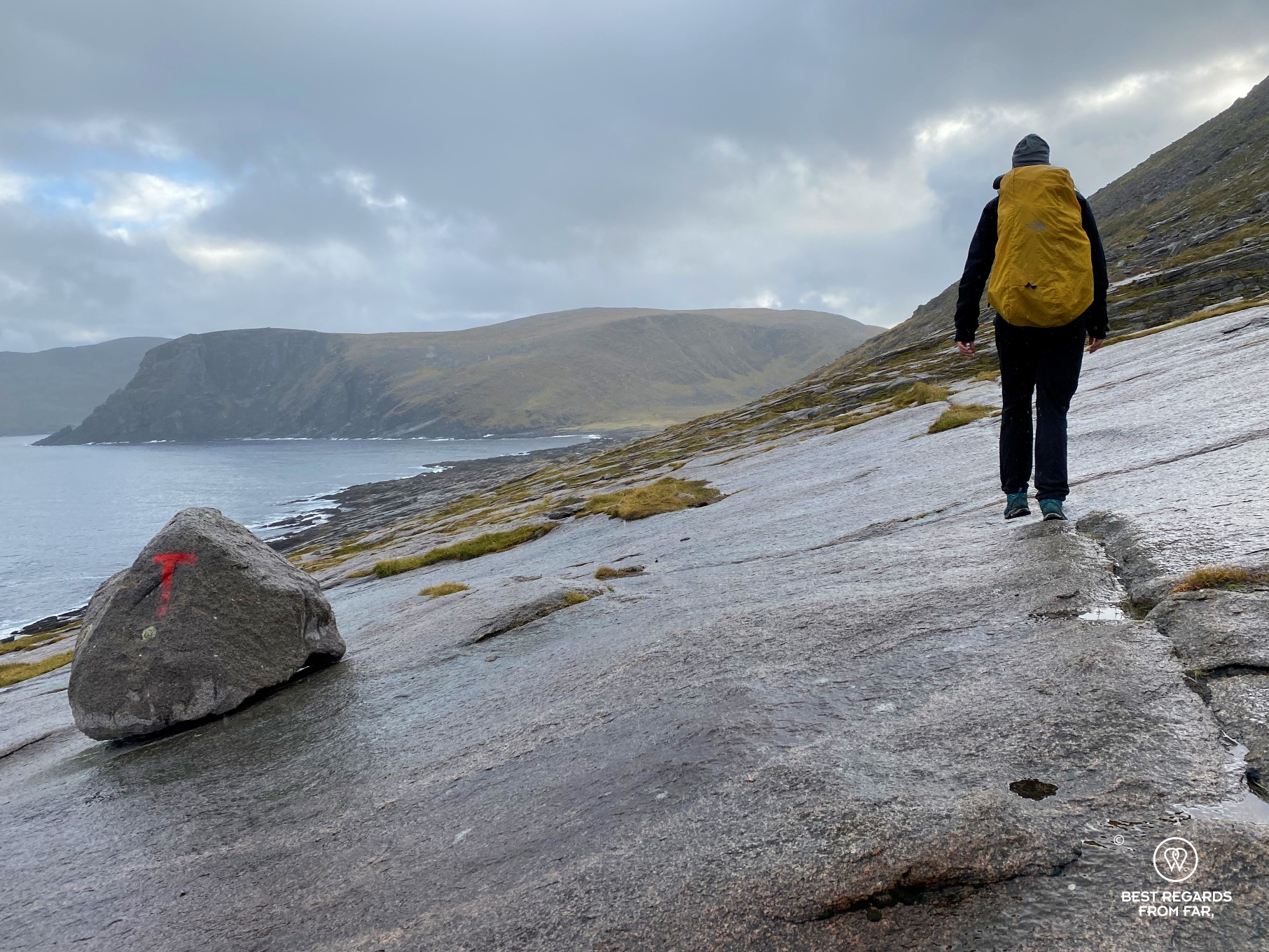
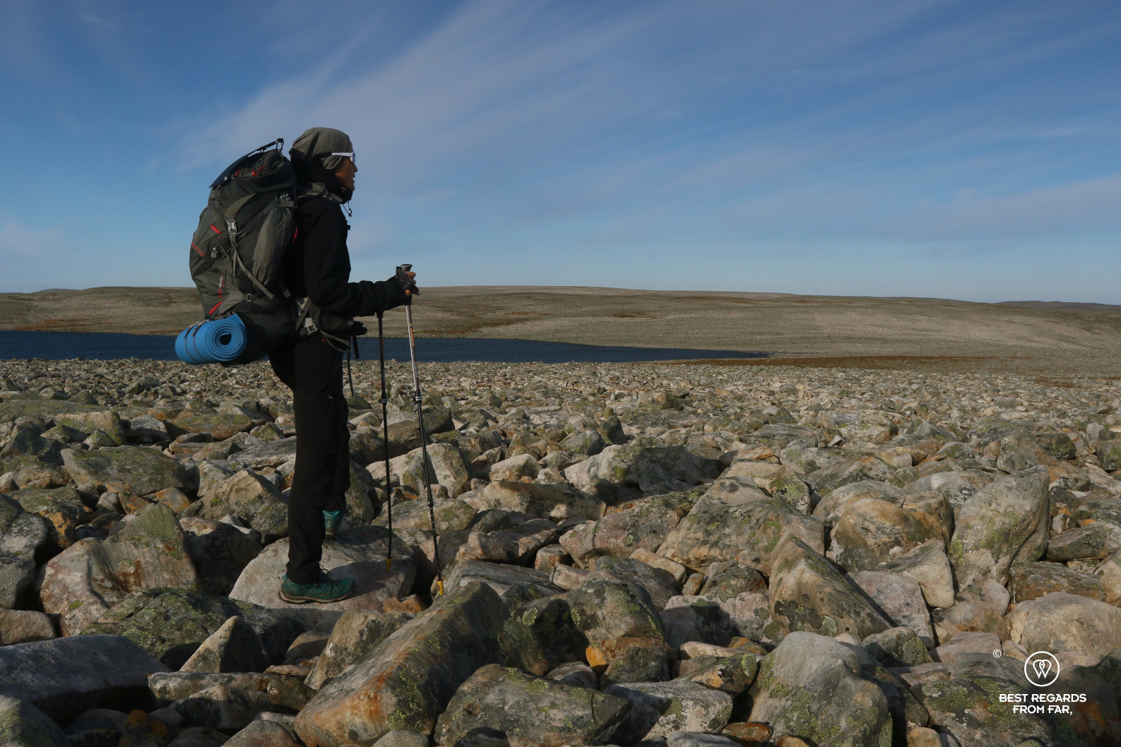
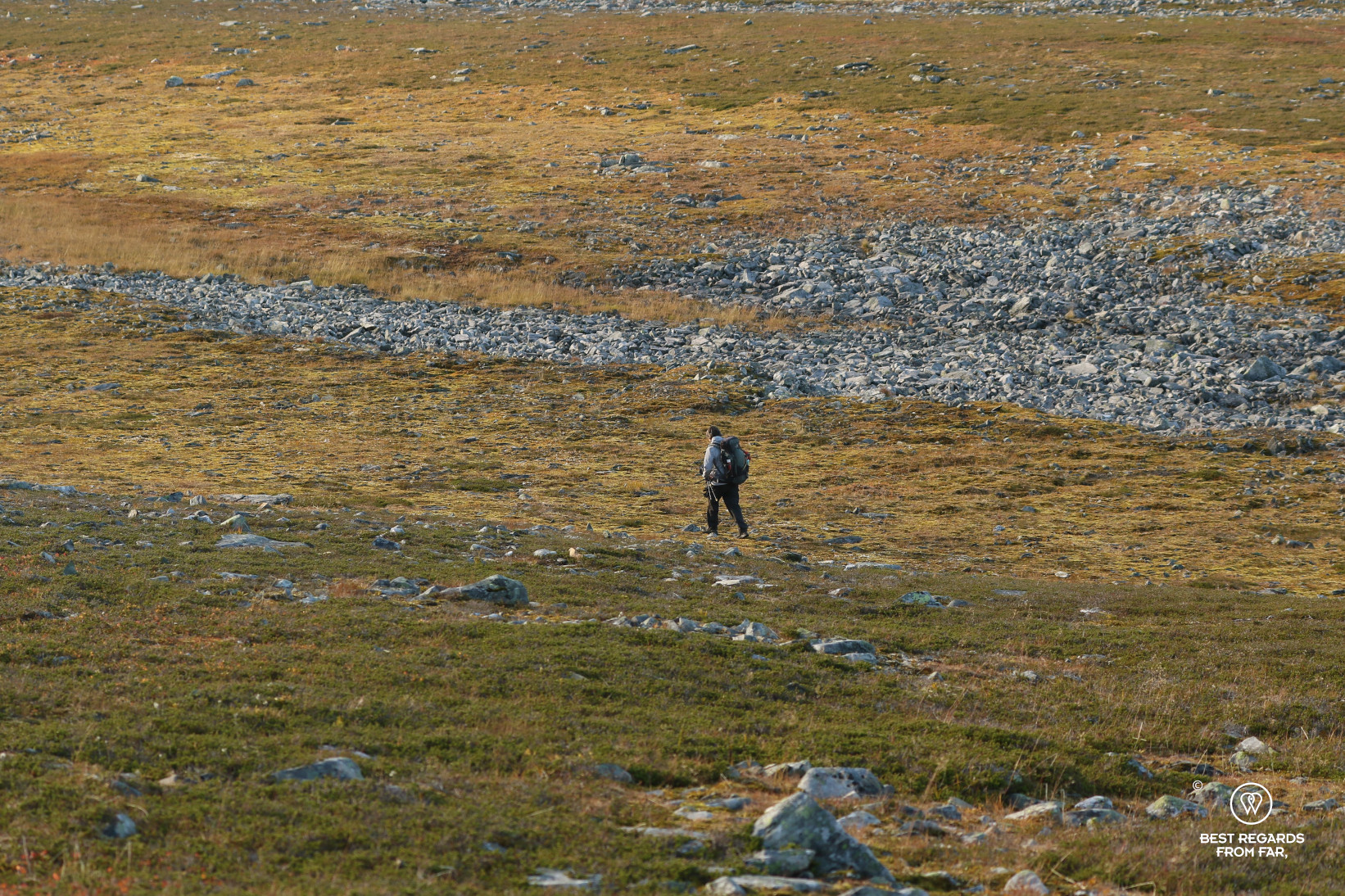
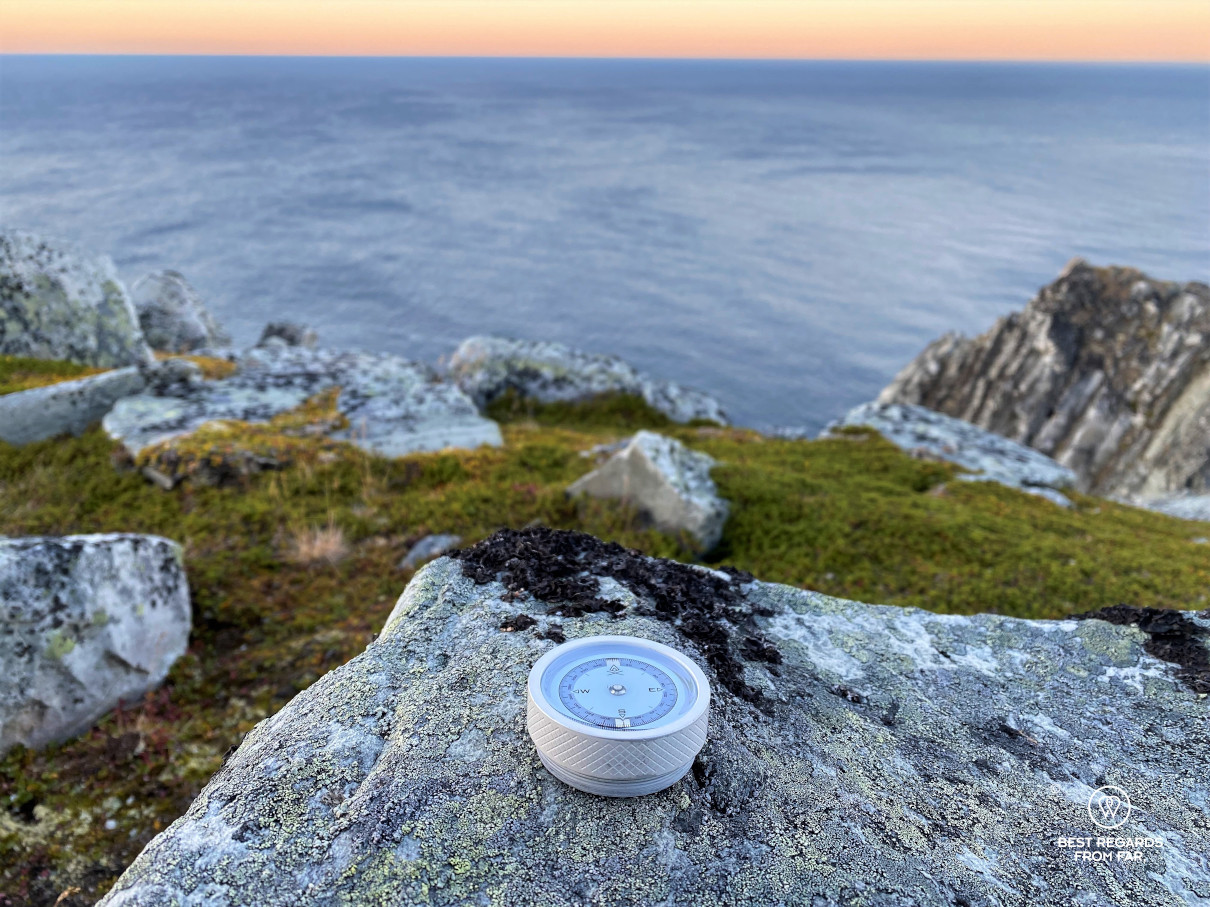
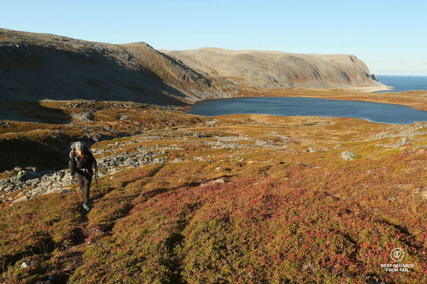
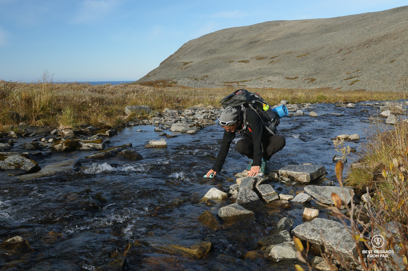
On paper, the trek does not look that bad: if the distance is long, the elevation is reasonable with a maximum altitude of 300 meters (900ft). However, we were warned by Jan Olav: “Count about 10 to 12 hours one way, as you can’t really walk that fast on the rocks”. It gets obvious really fast: the trek is not a hiking path, but it comes to trying to follow at best a few red T’s giving a rough idea of the main direction by crossing kilometre-long fields of stones of precisely the wrong size: too big for pebbles, and too large for boulders. The kind that gets very unstable and real ankle-twisters… The GPS coordinates on our paper map and the compass of our VSSL first aid kit are essential at times, despite the clear visibility, in order to navigate our way in that immensity of rocks in which finding landmarks proves to be a challenge.

We keep a close eye on the time, as in early September, days are already getting shorter and we must set up camp before night time.
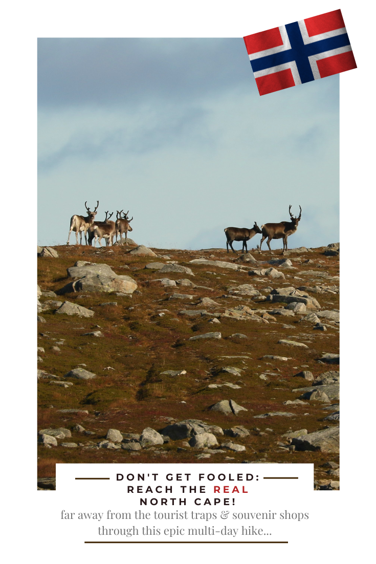
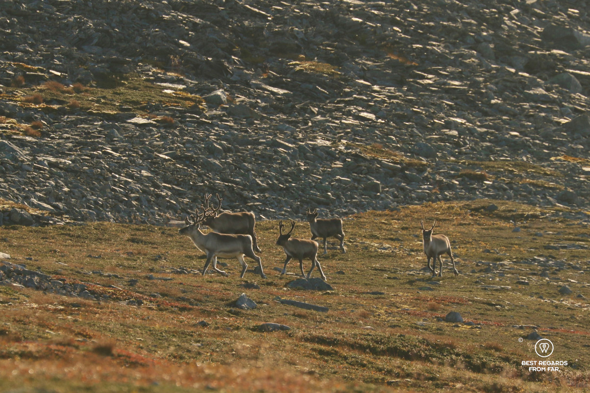
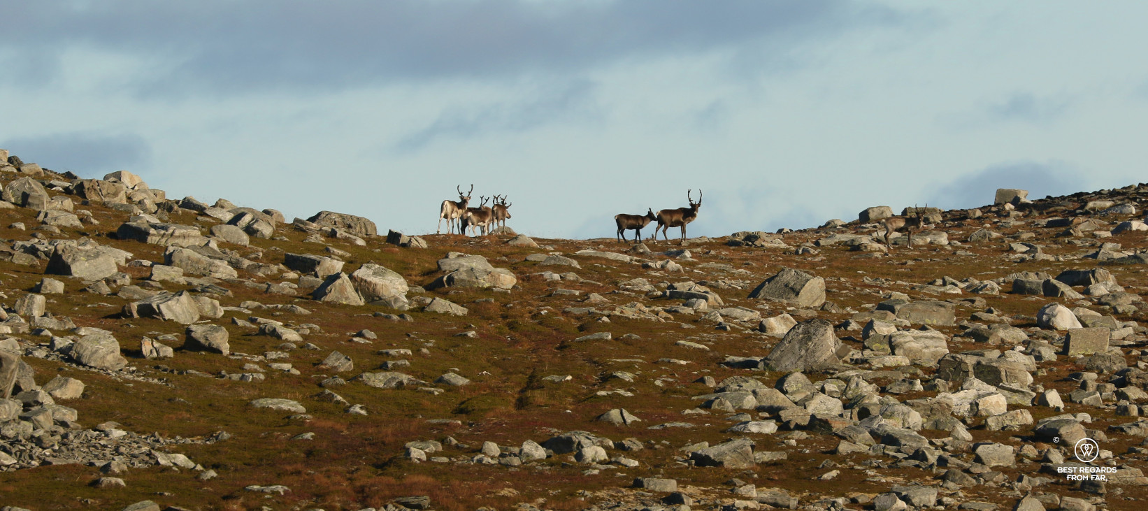
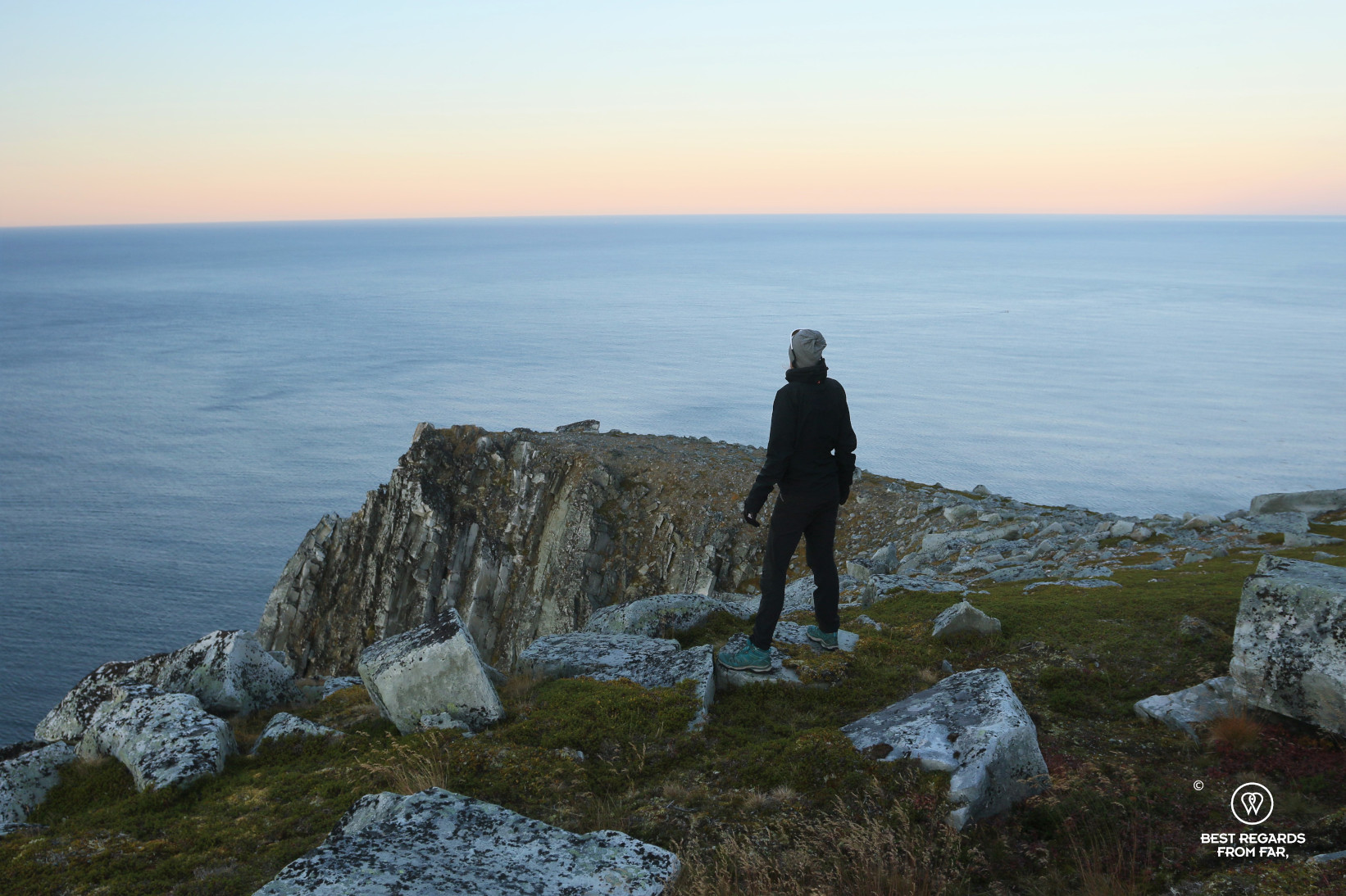
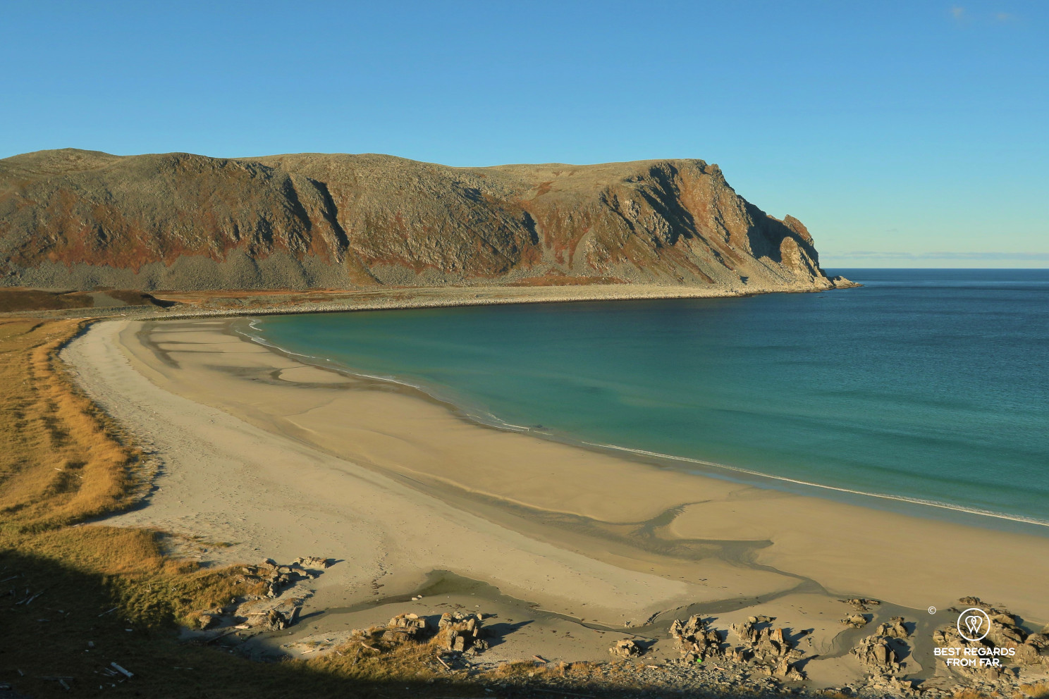
Past the first half of the itinerary, we feel a bit reassured as we seem to find some sort of a path, made by reindeer herded in the wilderness by the Sami people. Slaughtering season is approaching, and if their calves have most likely never seen people, the shy animals seem to feel it, being very jumpy when they get a glimpse of us. The landscape opens up: the shore appears with the dark blue Barents Sea in the distance.
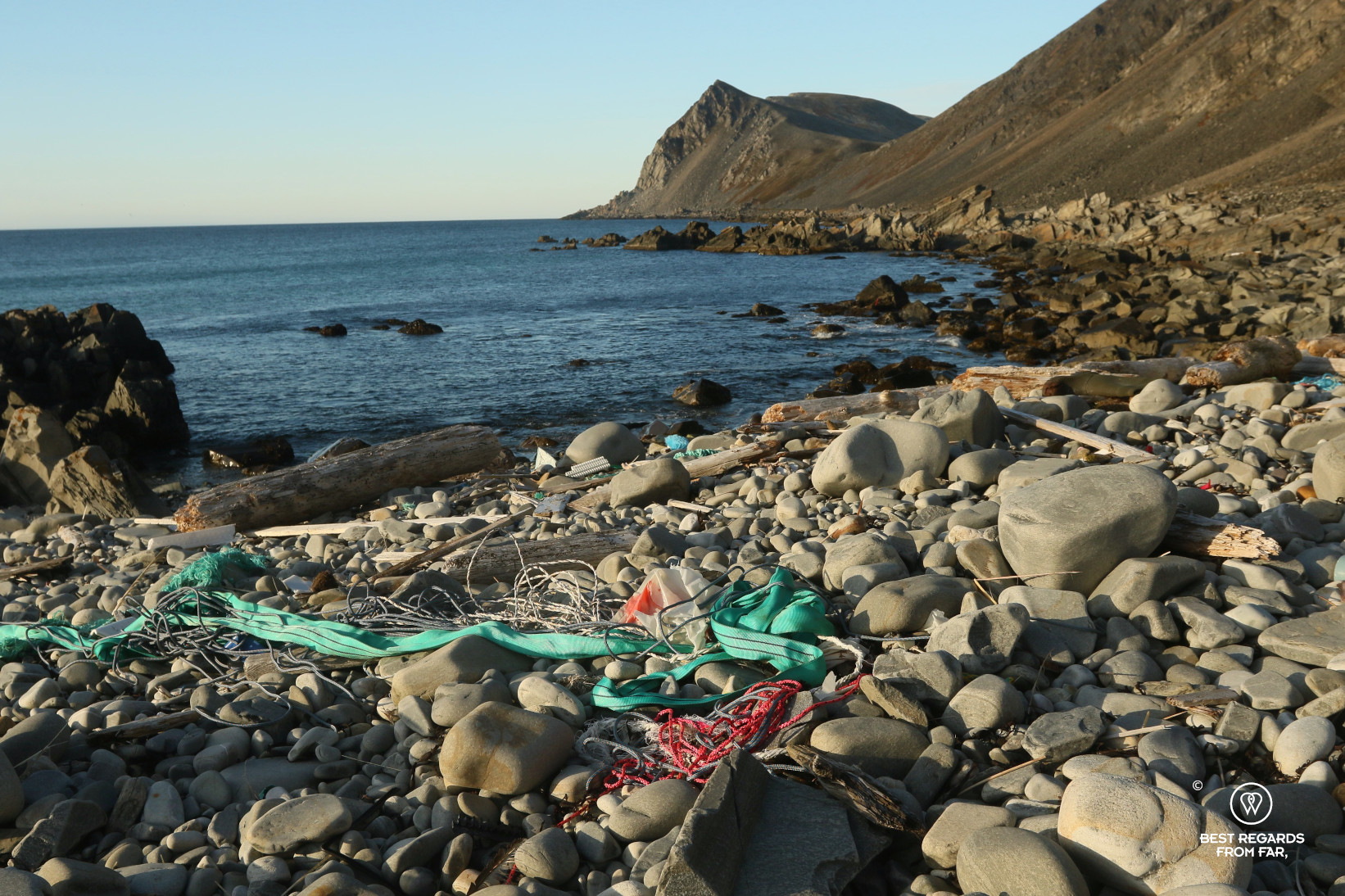
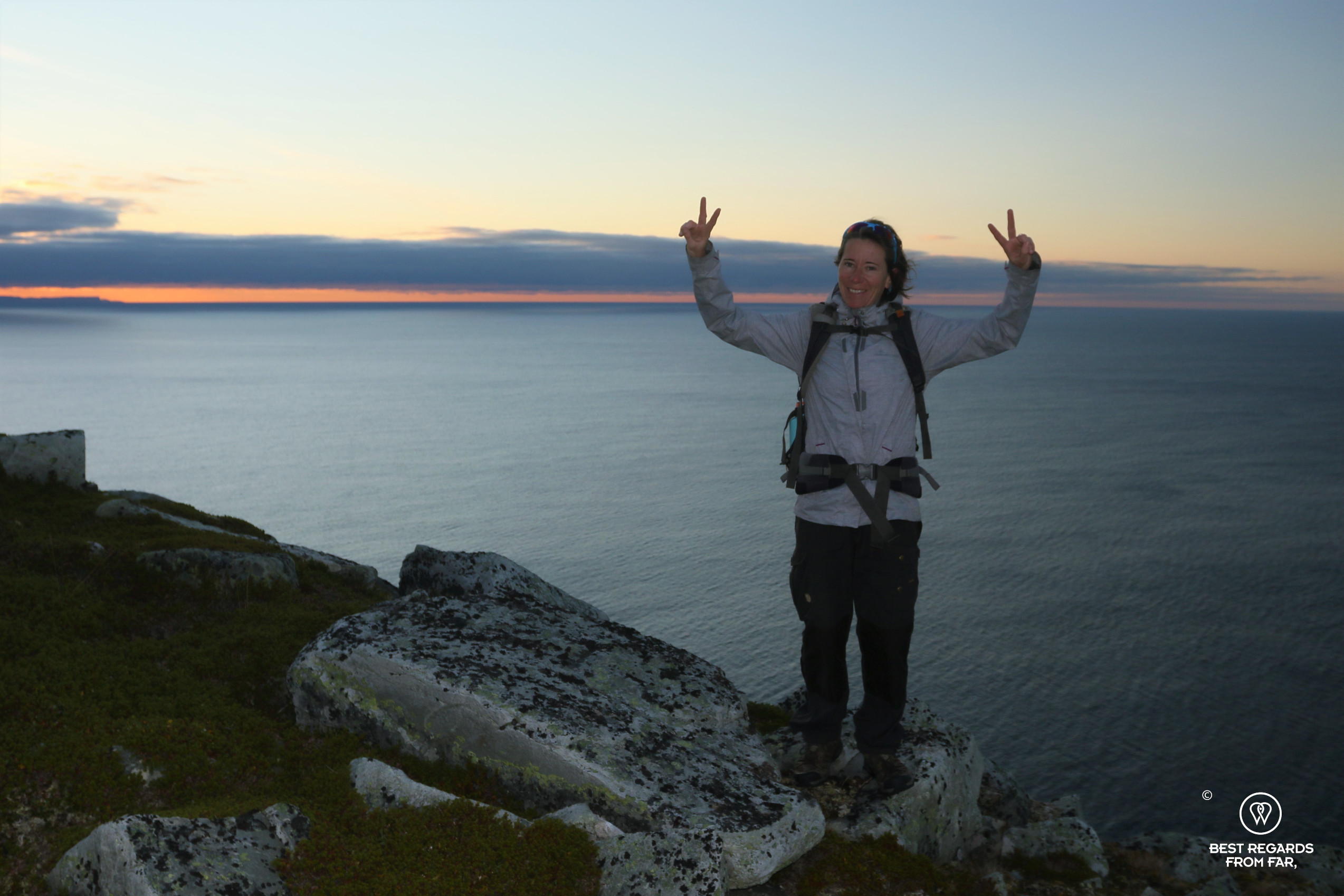
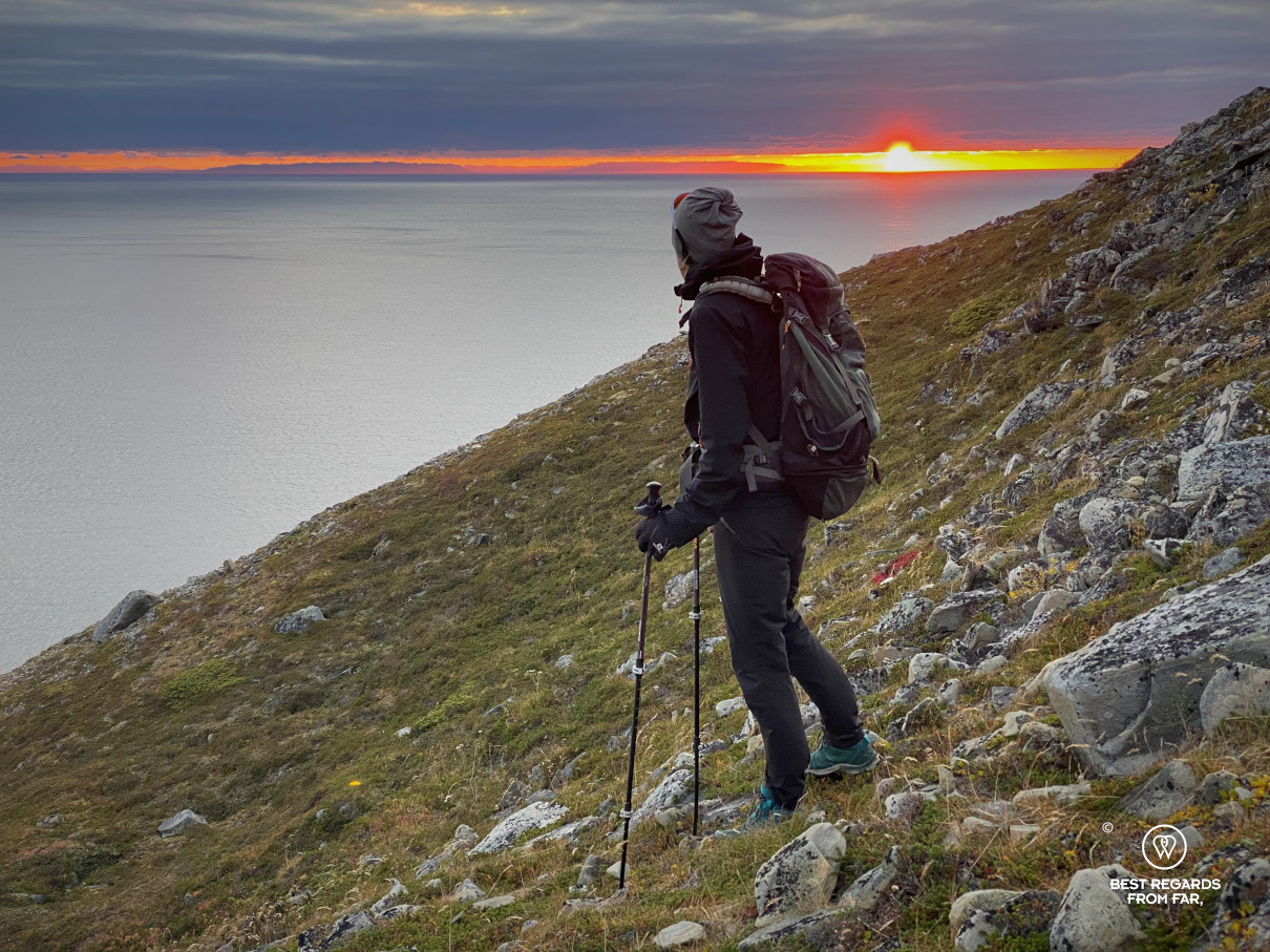
Undulating up and down with the terrain, past a WWII airplane wreck, we eventually reach a green valley by the beach where we pitch before dropping most of our gear and pushing to the actual northernmost point, another four kilometres further. We have to walk on more loose stones covered in plastic waste, mostly from fishing boats, before going up the 234 meters of positive elevation to stand and be at that moment, the only ones at the northernmost point of the European continent towering the Barents Sea.


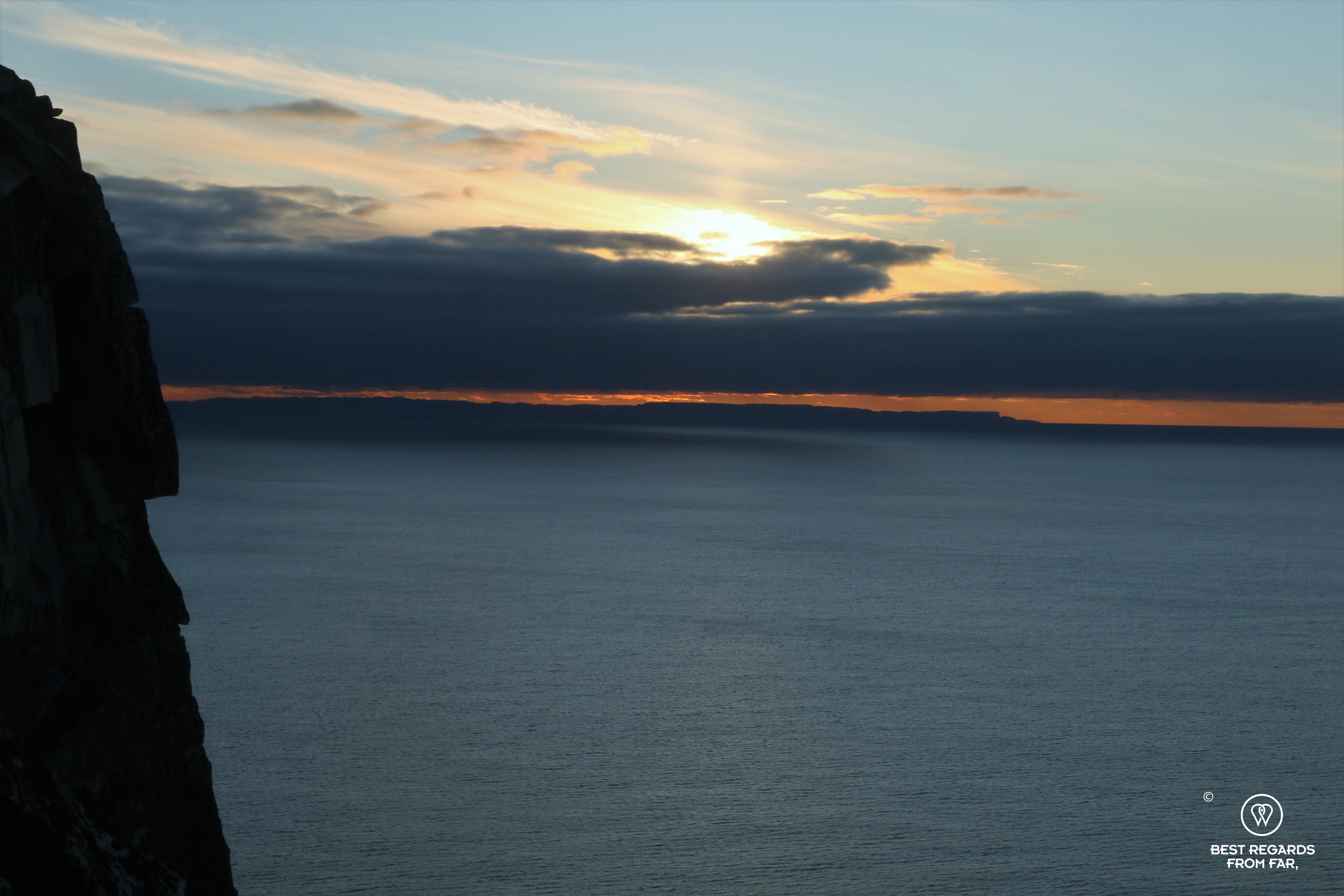
As soon as the sun sets, the temperature drops suddenly and we get back to our tent walking briskly battling the fading daylight. Jan Olav was right: the howling wind chills us to the bone and make our tent flap. It is dark when we find shelter in the small area protected by our outer tent. Preparing the REAL dinner warms us up, and enjoying it even more! We are fast to jump into our Patizon sleeping bags to stay warm.
Waking up every hour or so, we try to get a glimpse of the sky in search for the Northern lights. A pale whitish hue far North above the sea will be our only reward while the wind and cold do not give us any break.


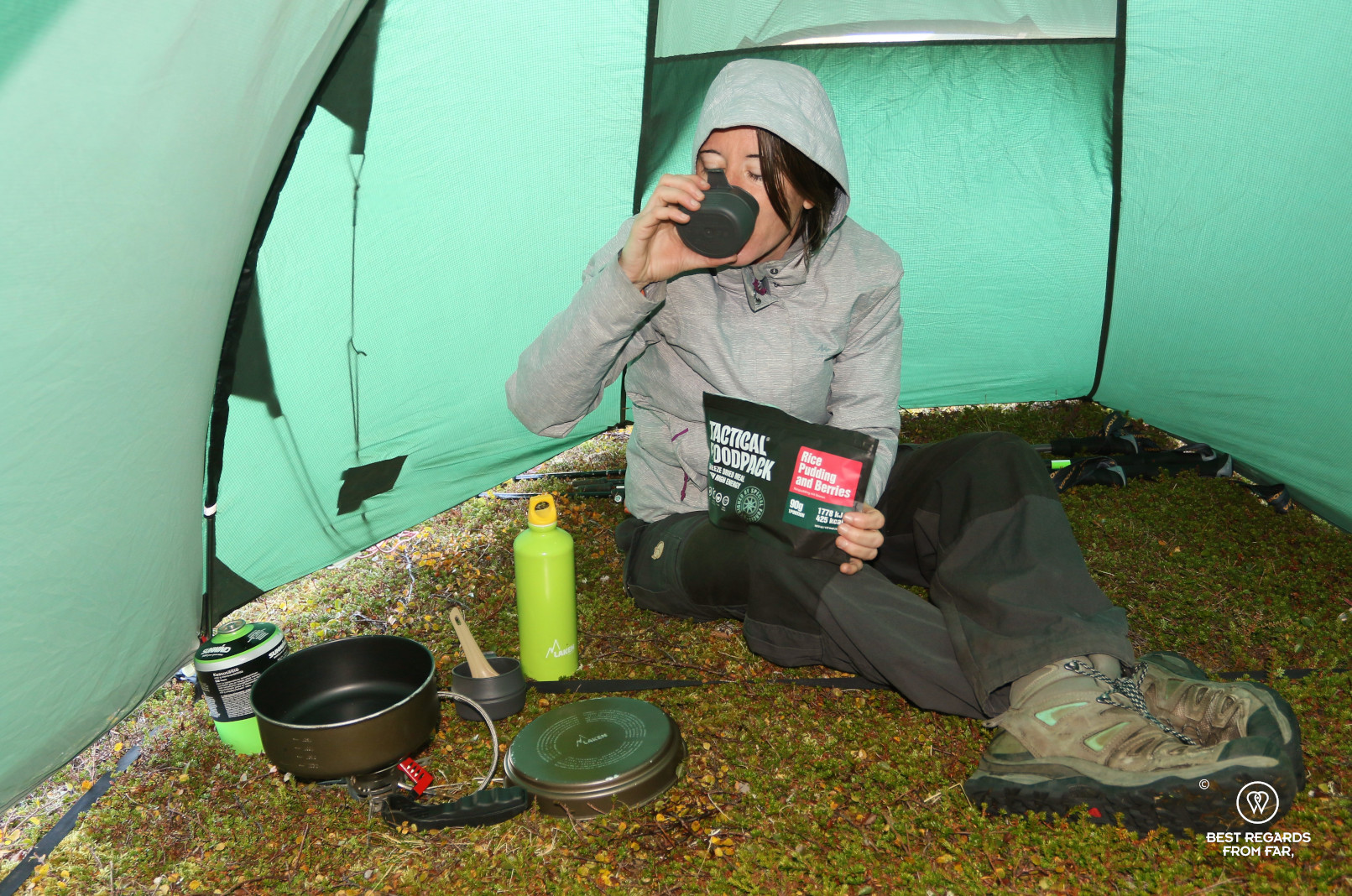
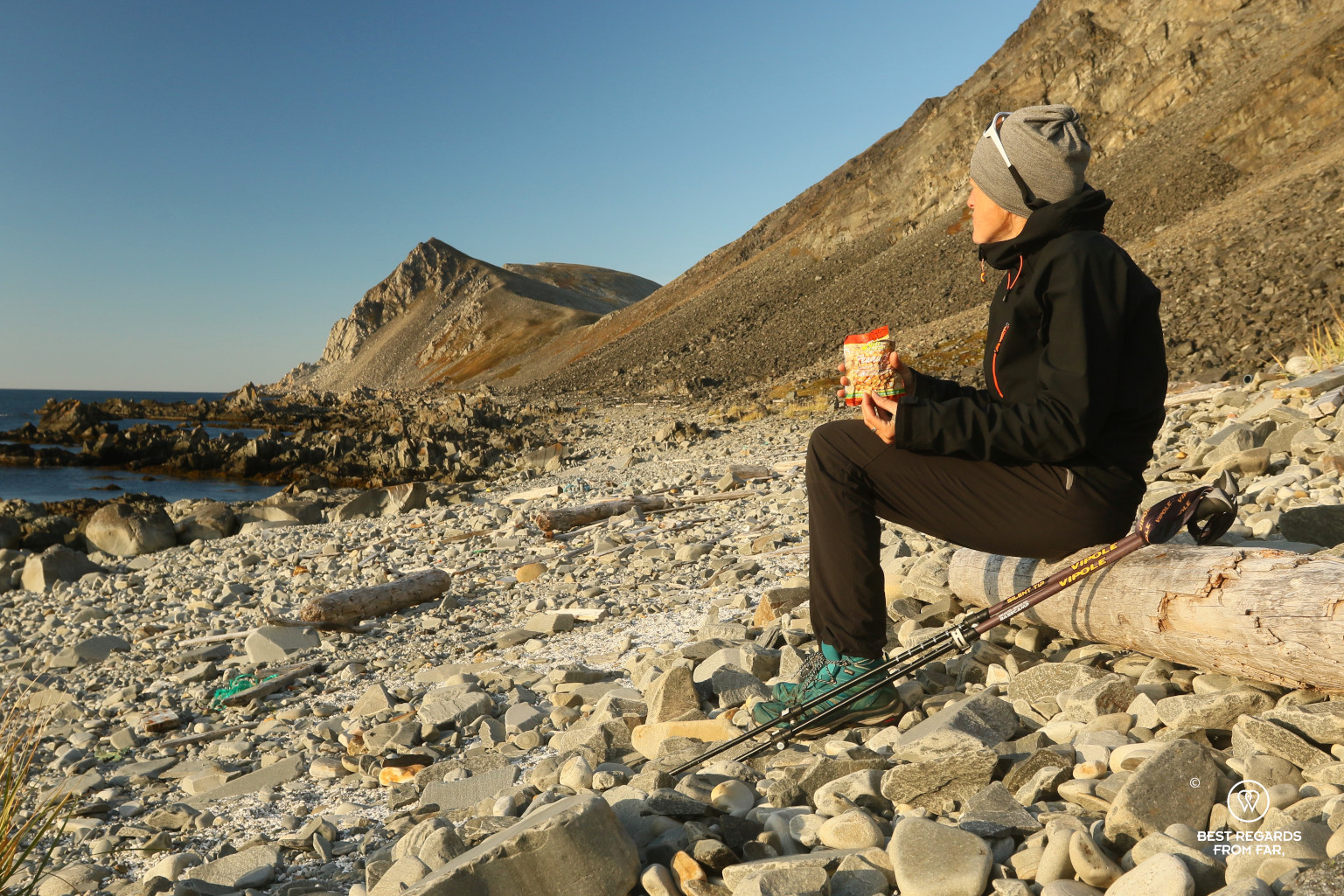
In the morning, it takes a while for the sun to rise above the mountains, and if we have a bit more time today as our trip is 8 kilometres shorter than yesterday, we know how fast the weather can change and do not feel like taking a risk. Reluctantly, we decide to extract ourselves from our warm and comfortable sleeping bags to change and get ready. It is windier than yesterday, and the protection of our outer tent is once again perfect to shelter us while we warm up the Arctic Field Ration coffee and the breakfasts. We truly enjoy the warmth of the food, as we find courage to step out. The cold wind bites nastily. Folding the tent, shivering, we are only looking forward to starting to walk uphill fast to warm up. I barely notice the stunning scenery.


The way back however is a lot more challenging than expected. The wind we did not really feel the day before as it was pushing us in our backs, has turned into a major challenge today: cold, strong and full in our faces. The trail markers that were already difficult to spot on the way in are even trickier today. At this time of the year, the sun stays very low and is blinding: we have to constantly walk with it straight it our eyes struggling to find the red T’s, sometimes crossing ankle-deep swamps in search for the way back.
We eventually see a glimpse of our car in the far distance while the Sun is already setting, and just follow the azimuth, not really carrying anymore about the boulders nor swamps. Despite the cold and the exhaustion, we both feel very special and satisfied about having conquered the point that to us is the real northernmost point on the European continent; the real North Cape.

***
Norwegians have a word to describe enjoying nature and outdoor living: “Friluftsliv”. They do not like translating it, as it is very specific, and if taking in the stunning landscapes is part of it, realizing how powerful and dangerous nature can be is also a side of it. Exploring the far North of Europe, discovering this untamed nature in the harsh arctic climate is a perfect way to experience the true meaning of friluftsliv.

Travel tips:
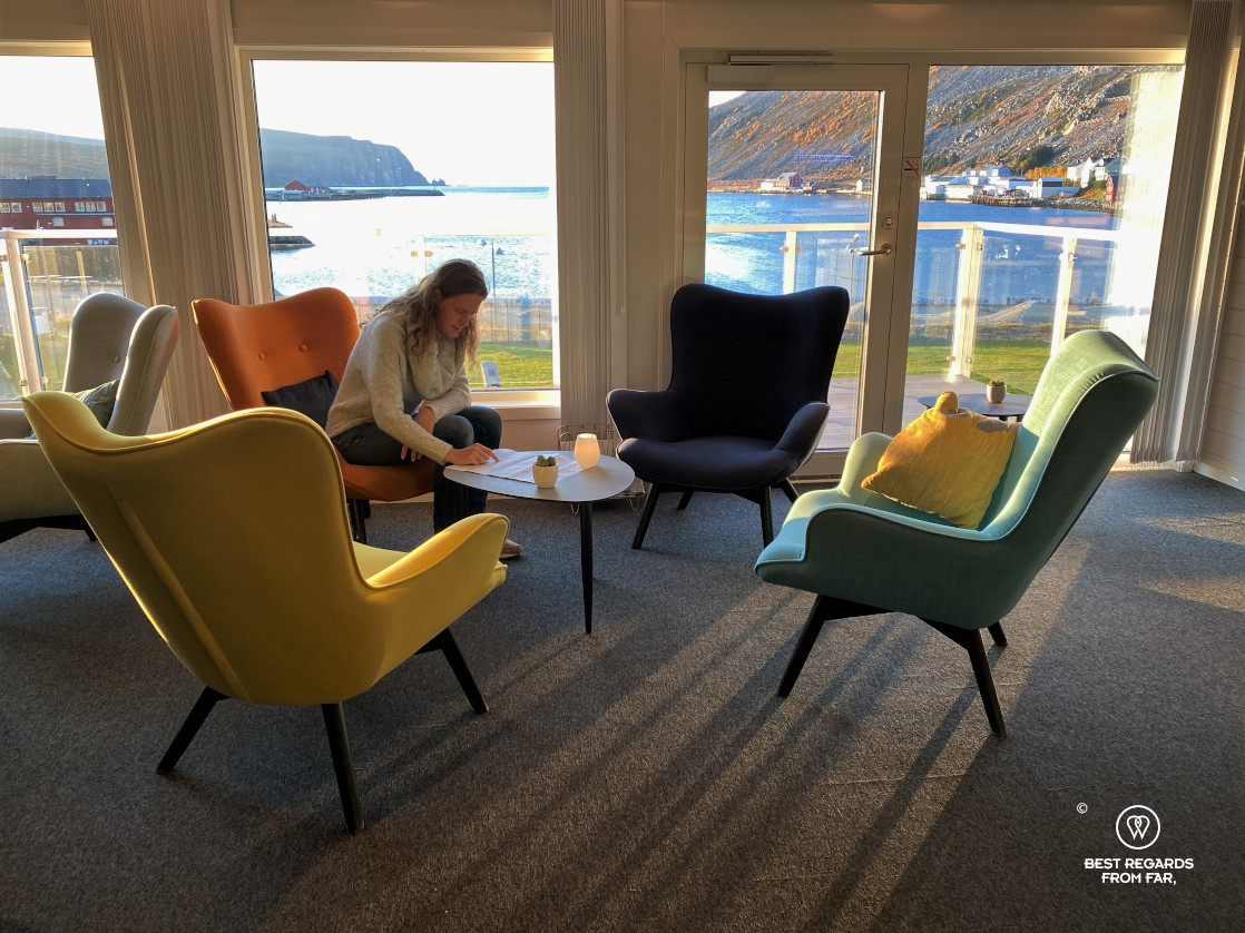
- To explore the North Cape, stay at The View Hotel, a former Cold War military barrack that has been nicely renovated into a comfortable hotel with a sauna in Honningsvåg.
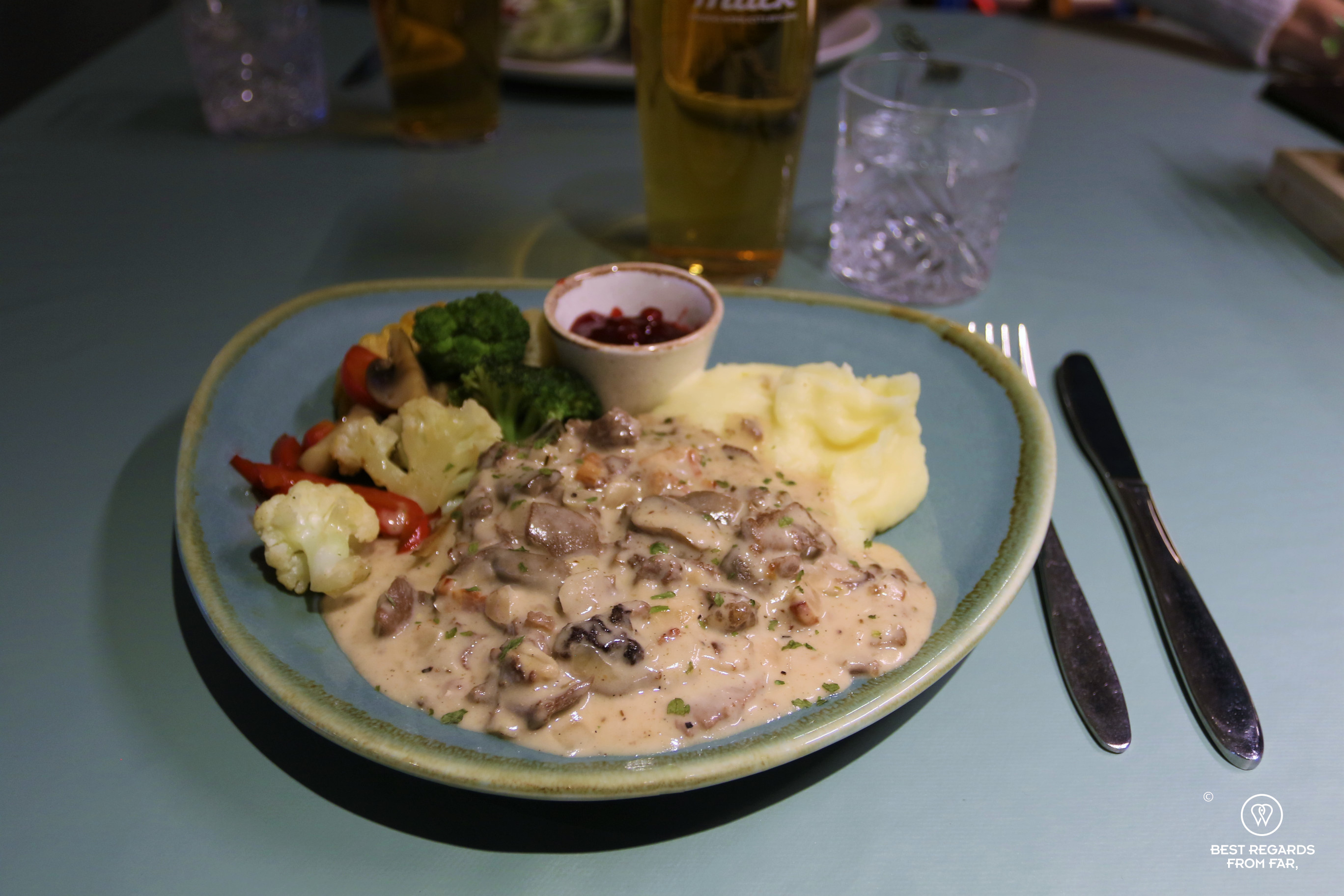
- To discover Cape Nordkinn, stay at the comfortable and newly renovated Hotel Nordkyn with its sweeping views on the cute village of Kjøllefjord. Its restaurant is good and focusing on local products, and its downstairs pub is the place for locals to hang out.
- If you are not up for such a long and demanding hike, it is also possible to inquire at Hotel Nordkyn to get a boat ride to the Cape Nordkinn. There are plenty of other beautiful hikes around Kjøllefjord that are much easier too!
- Check out this interactive map for the specific details to help you plan your trip and more articles and photos (zoom out) about the area (short tutorial)!
For more in Norway: