Photographs: Claire Lessiau & Marcella van Alphen
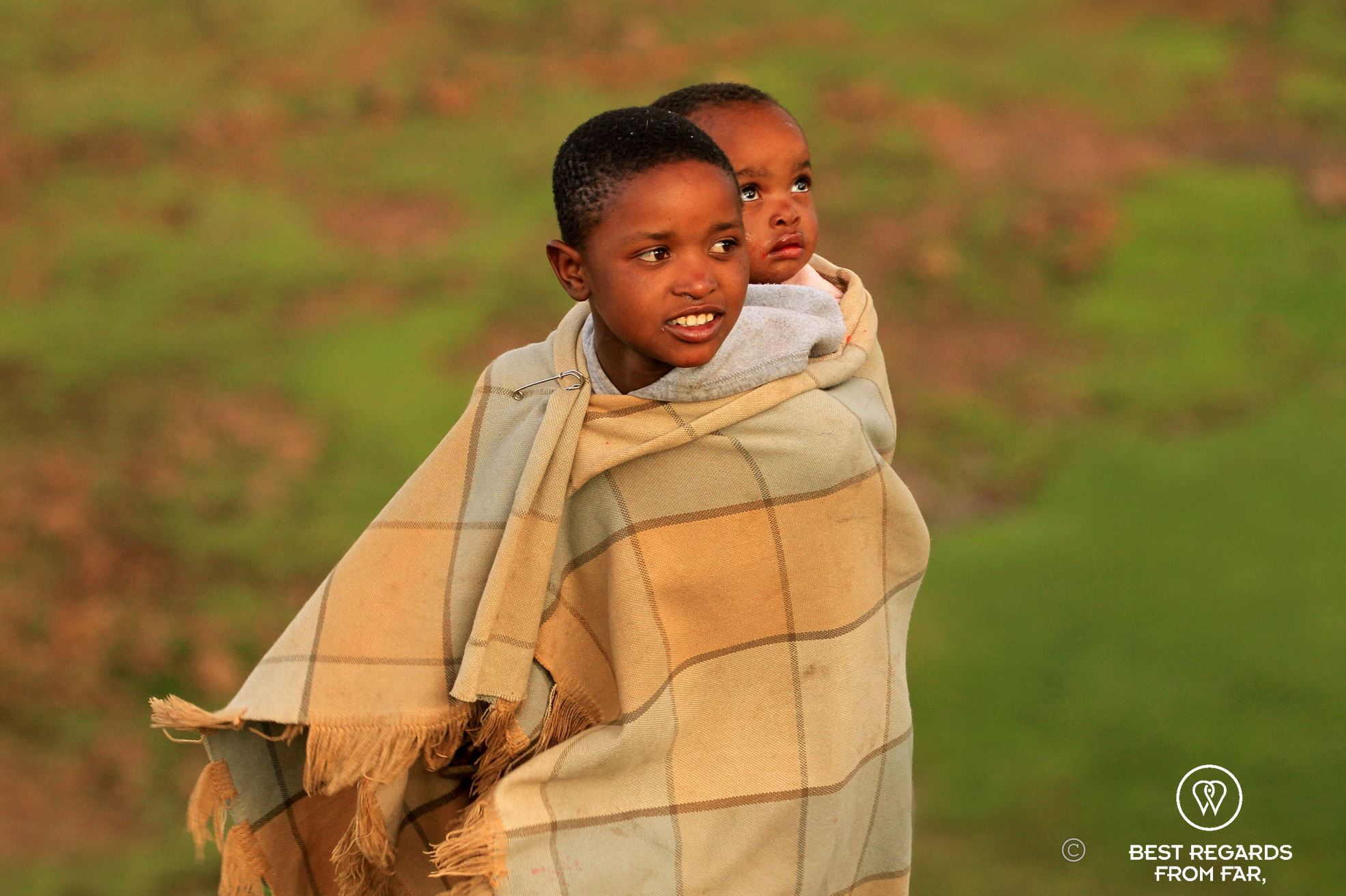
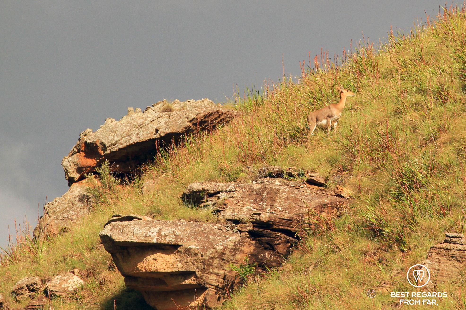
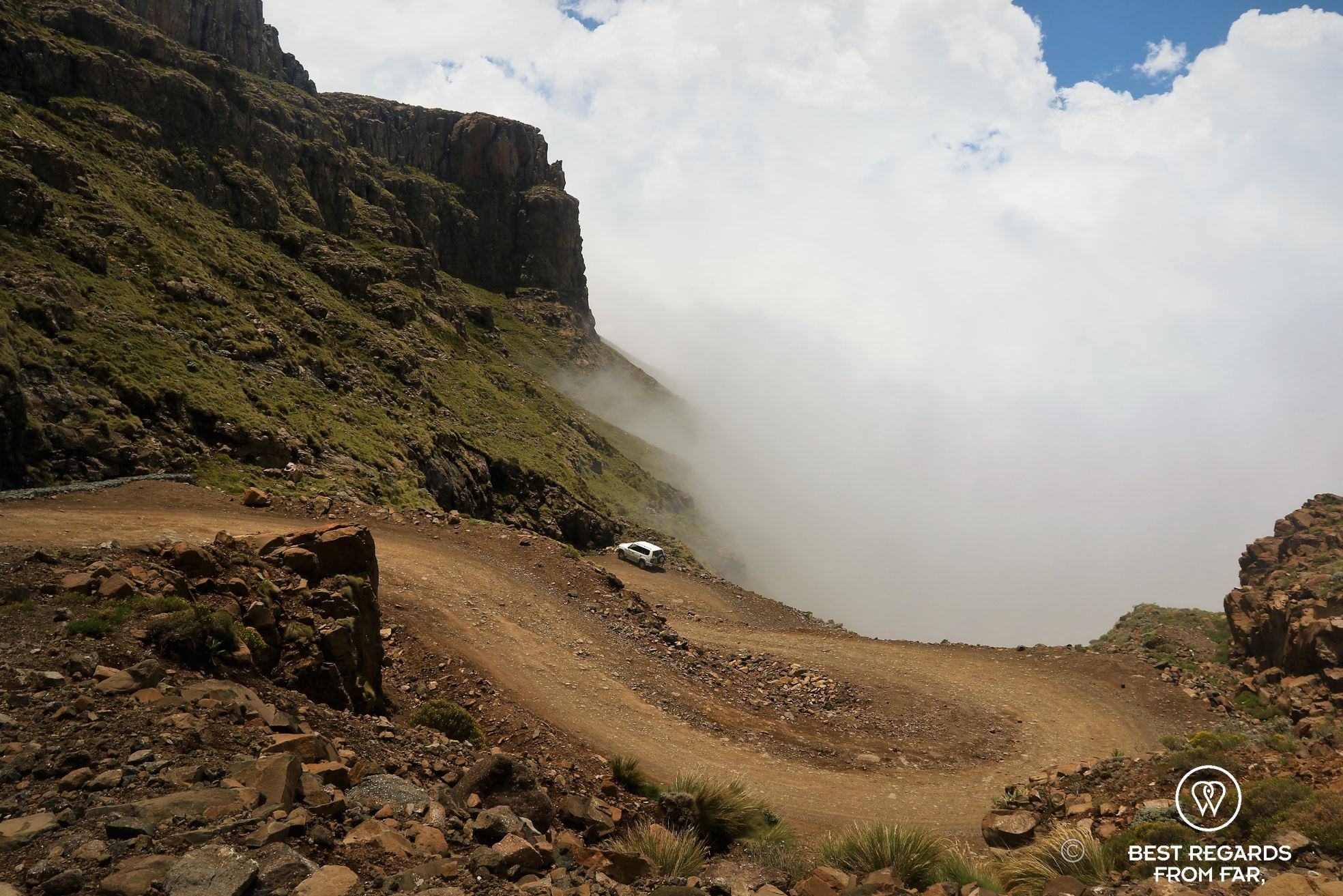
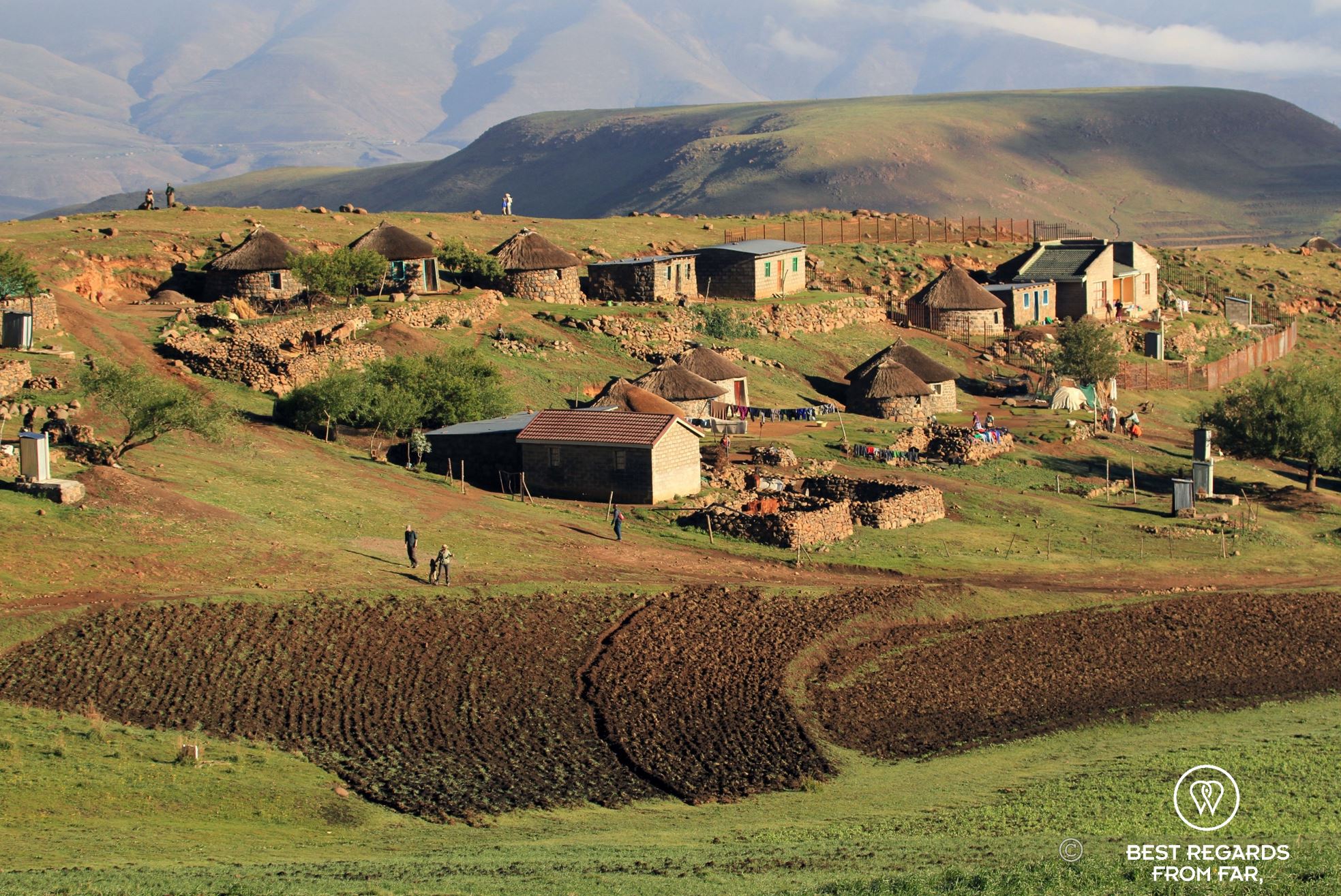
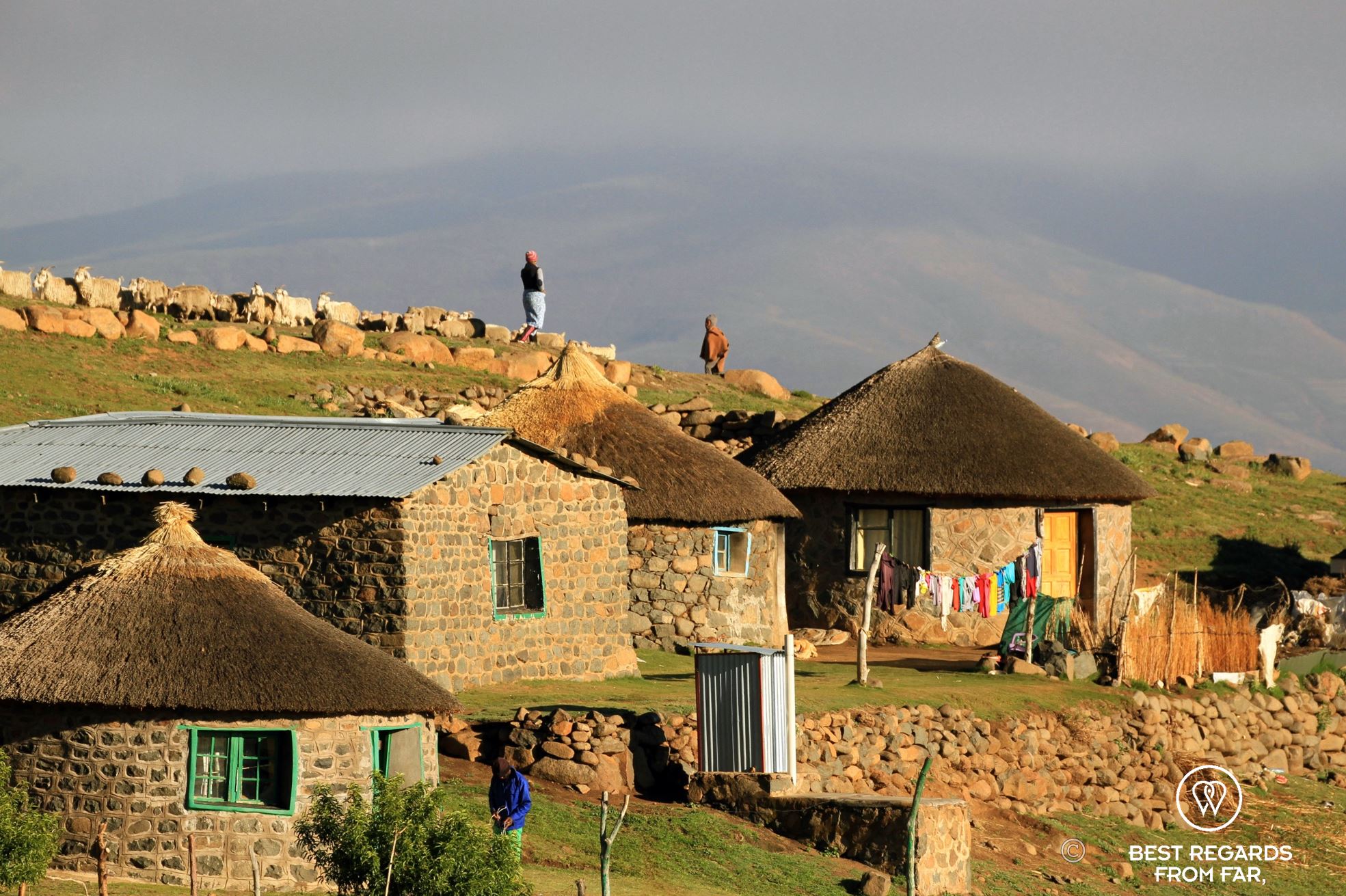
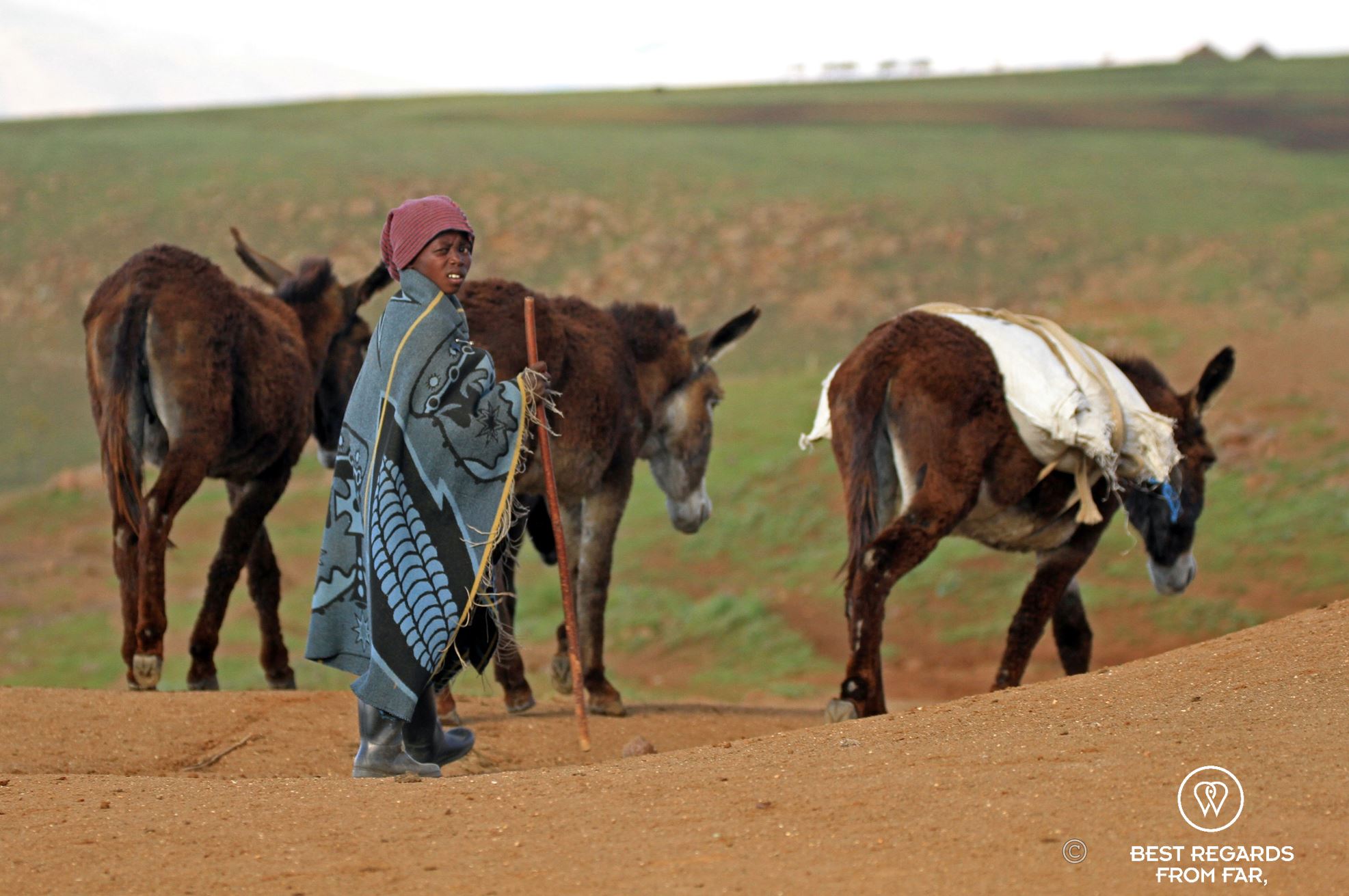
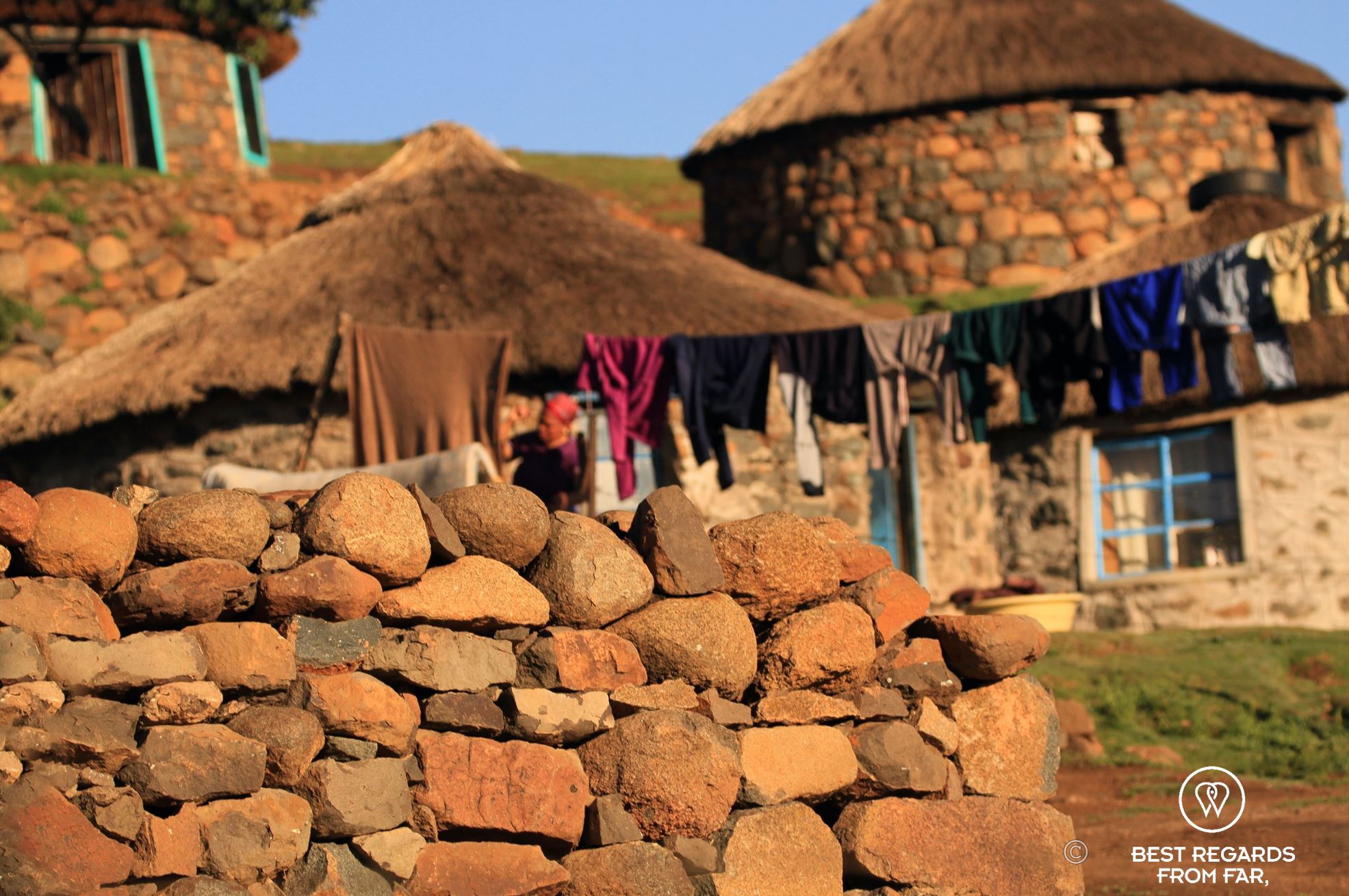
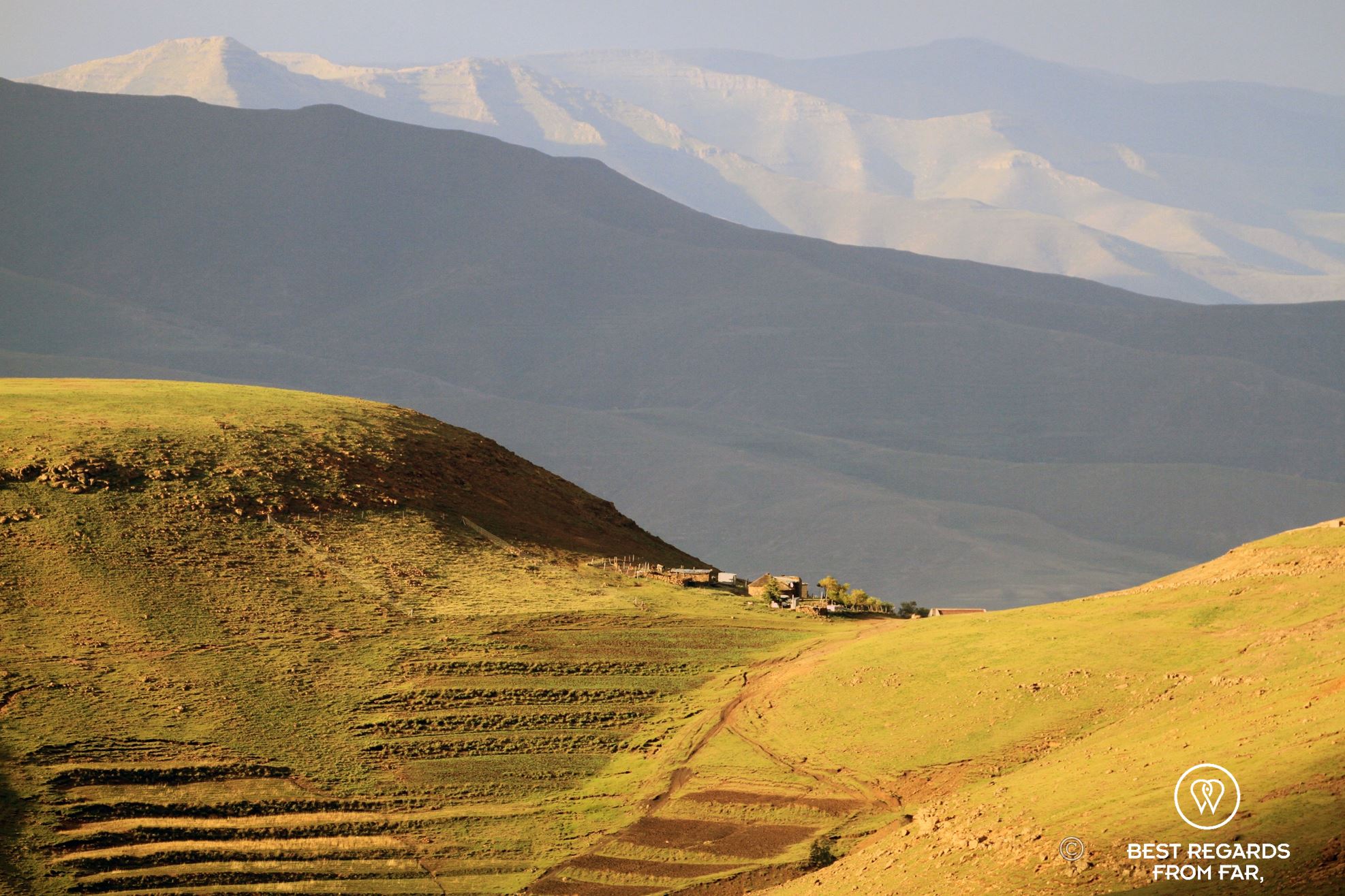
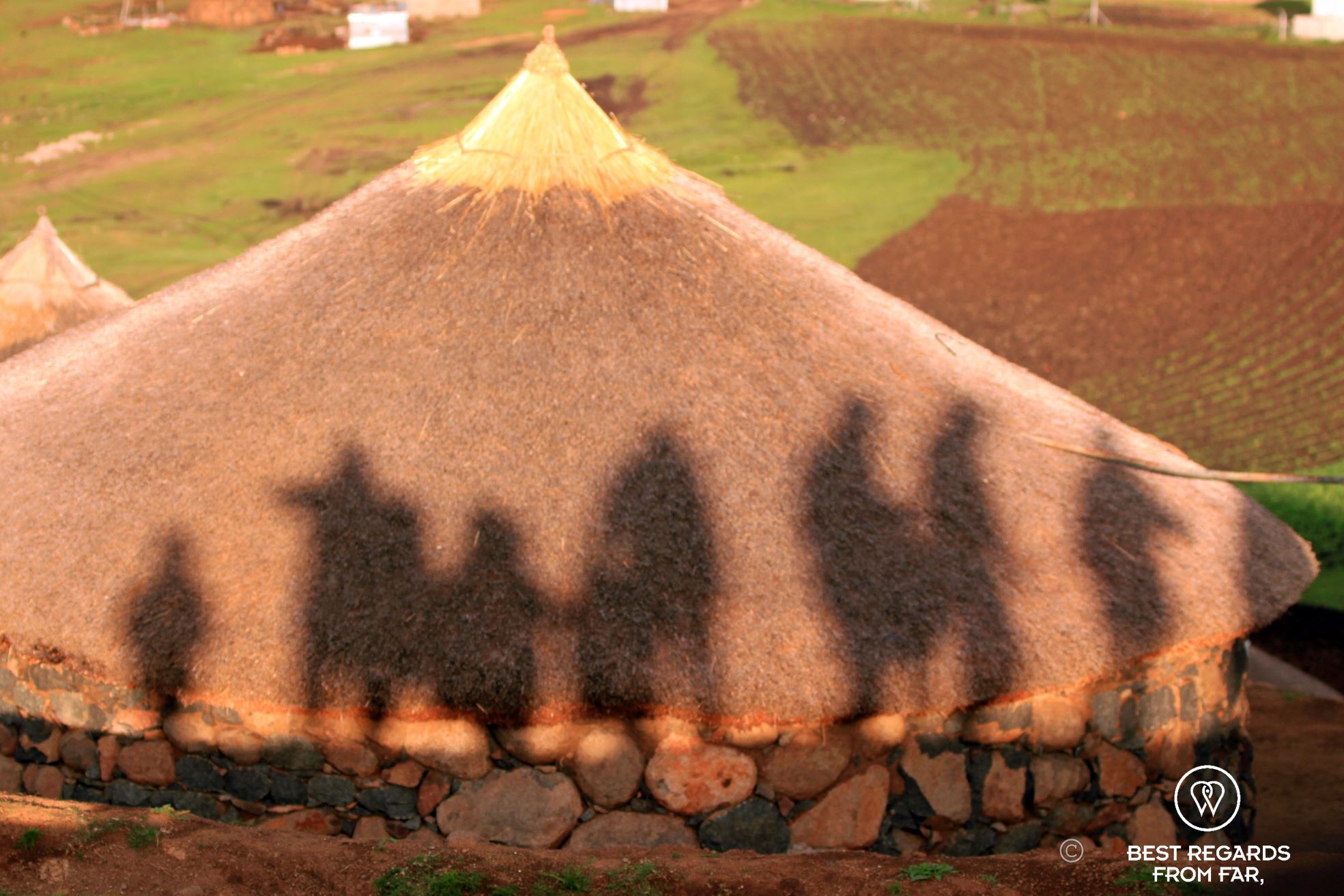
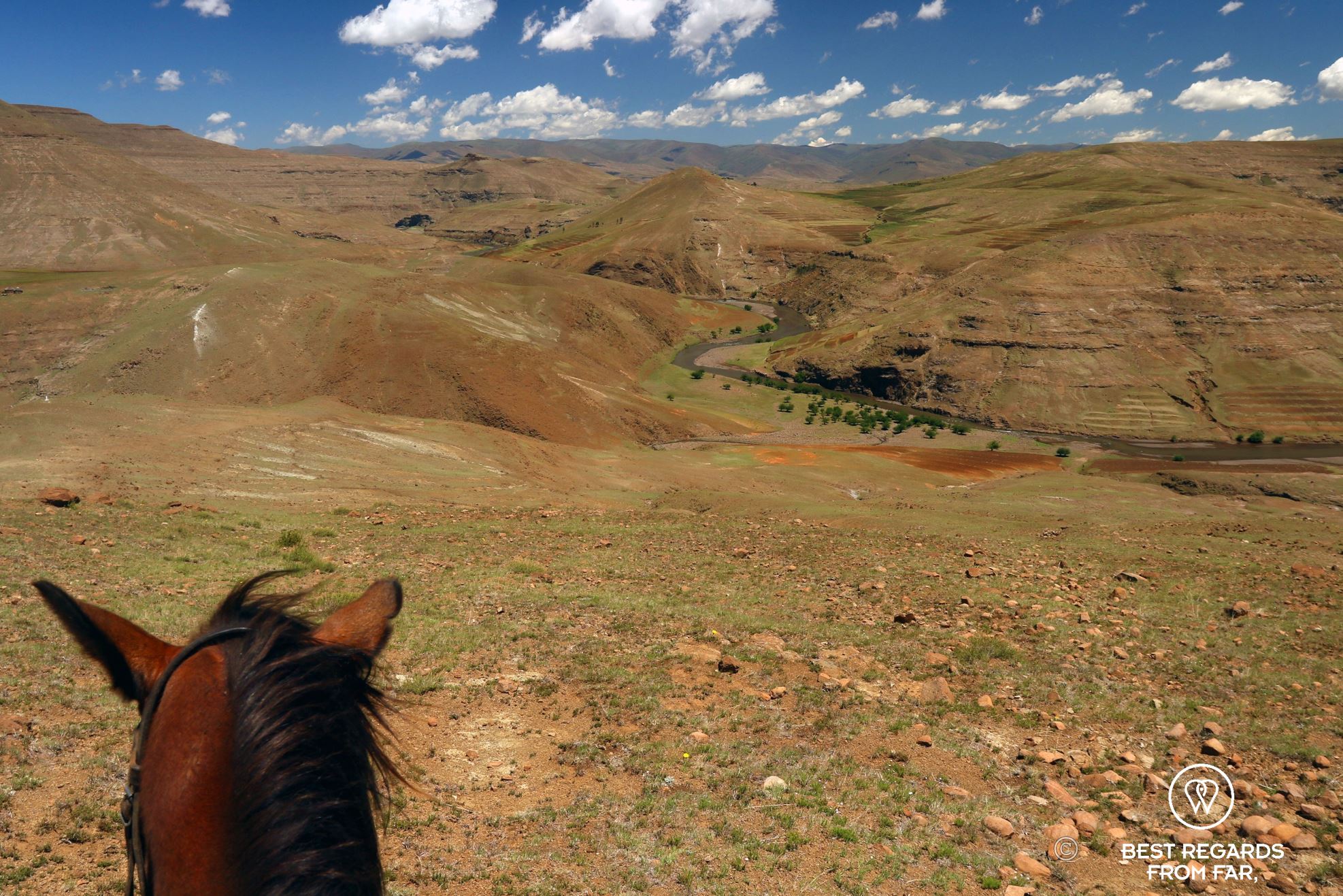
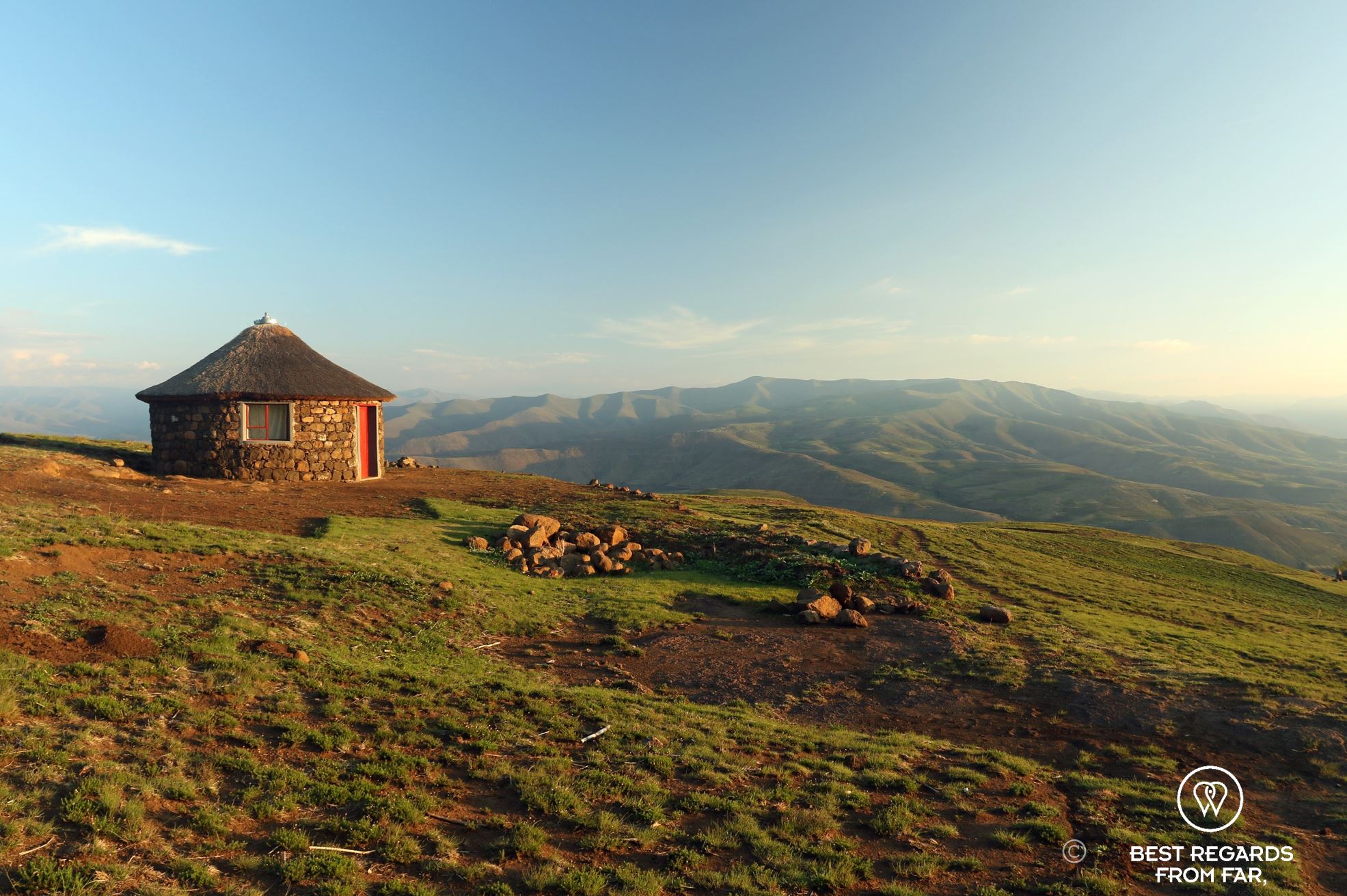
Lesotho is an enclosed country within South Africa set up on a high mountain-top plateau that was shaped by 30 million years of volcanic lava flowing, forming a 1.5-kilometre thick basalt layer. For the past 150 million years, water erosion formed the beautiful valleys and dragon-like cliff line that separates Lesotho from South Africa on the east side. The kingdom in the sky was created in 1827 by the beloved and wise king Moshoeshoe and a fascinating destination to travel through.
Here is a compilation of our best shots capturing the essence of the Reunion Island to inspire you. Let us take you on a visual tour through the country to inspire you for your next trip!
Click on the photos for a more comfortable experience:


Travel tips:
- Check out this interactive map for the specific details to help you plan your trip and more articles and photos (zoom out) about the area!
For more in Lesotho, click on these images:


Stunning pictures.
Thank you for stopping by and dropping a line Maggie and Richard! 😃